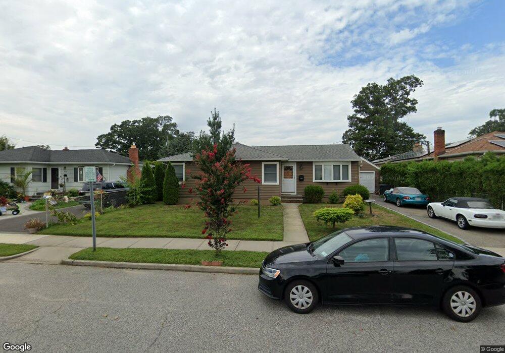
1994 Corral Path Seaford, NY 11783
Estimated Value: $656,506 - $657,000
--
Bed
1
Bath
1,078
Sq Ft
$609/Sq Ft
Est. Value
About This Home
This home is located at 1994 Corral Path, Seaford, NY 11783 and is currently estimated at $656,753, approximately $609 per square foot. 1994 Corral Path is a home located in Nassau County with nearby schools including Seaford Middle School, Seaford Senior High School, and St. William the Abbot School.
Ownership History
Date
Name
Owned For
Owner Type
Purchase Details
Closed on
Feb 15, 2021
Sold by
Roughley Brian E and Roughley Joan
Bought by
Roughley Jason and Diamantis Margarita
Current Estimated Value
Home Financials for this Owner
Home Financials are based on the most recent Mortgage that was taken out on this home.
Original Mortgage
$368,000
Outstanding Balance
$329,136
Interest Rate
2.7%
Mortgage Type
New Conventional
Estimated Equity
$327,617
Purchase Details
Closed on
Dec 7, 2017
Sold by
Harkins Rosemary
Bought by
Roughley Brian E and Roughley Joan
Purchase Details
Closed on
Oct 22, 2002
Sold by
Bacchi Angie
Create a Home Valuation Report for This Property
The Home Valuation Report is an in-depth analysis detailing your home's value as well as a comparison with similar homes in the area
Home Values in the Area
Average Home Value in this Area
Purchase History
| Date | Buyer | Sale Price | Title Company |
|---|---|---|---|
| Roughley Jason | $460,000 | Chicago Title | |
| Roughley Brian E | $280,000 | -- | |
| -- | -- | -- |
Source: Public Records
Mortgage History
| Date | Status | Borrower | Loan Amount |
|---|---|---|---|
| Open | Roughley Jason | $368,000 |
Source: Public Records
Tax History Compared to Growth
Tax History
| Year | Tax Paid | Tax Assessment Tax Assessment Total Assessment is a certain percentage of the fair market value that is determined by local assessors to be the total taxable value of land and additions on the property. | Land | Improvement |
|---|---|---|---|---|
| 2025 | $12,556 | $439 | $232 | $207 |
| 2024 | $3,030 | $434 | $232 | $202 |
| 2023 | $11,437 | $434 | $232 | $202 |
| 2022 | $11,437 | $425 | $208 | $217 |
| 2021 | $15,317 | $417 | $204 | $213 |
| 2020 | $9,802 | $542 | $541 | $1 |
| 2019 | $3,177 | $581 | $544 | $37 |
| 2018 | $2,257 | $619 | $0 | $0 |
| 2017 | $4,101 | $658 | $548 | $110 |
| 2016 | $6,648 | $696 | $535 | $161 |
| 2015 | $2,544 | $735 | $565 | $170 |
| 2014 | $2,544 | $735 | $565 | $170 |
| 2013 | $2,449 | $755 | $580 | $175 |
Source: Public Records
Map
Nearby Homes
- 3532 Waverly Ave
- 3541 Kenora Place
- 3731 Park Ave
- 2104 Fir St
- 2175 Spruce St
- 2089 Beech St
- 3615 Franklin St
- 1750 Yale Ct
- 3268 Jackson Ave
- 3861 Wilburne Ave
- 2217 Fir St
- 1823 Lincoln Ave
- 2094 Wantagh Ave
- 2202 Beech St
- 3462 Ella Rd
- 3608 Tonopah St
- 2335 Maple St
- 3256 Park Ave
- 2198 Willow St
- 2067 Jackson Ave
- 2000 Corral Path
- 3552 Locust Ave
- 2006 Corral Path
- 3548 Locust Ave
- 3568 Locust Ave
- 3576 Marjorie Ln
- 1989 Corral Path
- 3544 Locust Ave
- 2005 Corral Path
- 3540 Locust Ave
- 3561 Woodward Ave
- 3583 Marjorie Ln
- 3557 Locust Ave
- 3569 Locust Ave
- 3580 Marjorie Ln
- 3536 Locust Ave
- 3549 Locust Ave
- 3530 Locust Ave
- 3586 Marjorie Ln