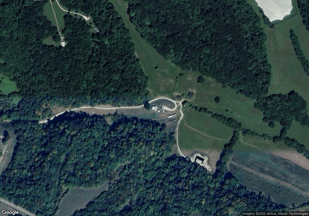
1994 Highway 166 N Mount Pleasant, TN 38474
Hampshire NeighborhoodEstimated Value: $542,278
--
Bed
1
Bath
1,353
Sq Ft
$401/Sq Ft
Est. Value
About This Home
This home is located at 1994 Highway 166 N, Mount Pleasant, TN 38474 and is currently priced at $542,278, approximately $400 per square foot. 1994 Highway 166 N is a home located in Maury County with nearby schools including Hampshire Unit School.
Ownership History
Date
Name
Owned For
Owner Type
Purchase Details
Closed on
Nov 5, 2020
Sold by
Brooks April E
Bought by
Brooks Jeffrey D and Brooks Robin A
Current Estimated Value
Home Financials for this Owner
Home Financials are based on the most recent Mortgage that was taken out on this home.
Original Mortgage
$250,000
Interest Rate
2.9%
Mortgage Type
Future Advance Clause Open End Mortgage
Purchase Details
Closed on
Nov 4, 2020
Sold by
Brooks April E
Bought by
Brown Jeffery Michael and Brown Becky
Home Financials for this Owner
Home Financials are based on the most recent Mortgage that was taken out on this home.
Original Mortgage
$250,000
Interest Rate
2.9%
Mortgage Type
Future Advance Clause Open End Mortgage
Purchase Details
Closed on
Dec 16, 2015
Sold by
Brooks Joe D
Bought by
Brooks April E
Purchase Details
Closed on
Oct 12, 1978
Bought by
Brooks Joe D and Brooks April E
Create a Home Valuation Report for This Property
The Home Valuation Report is an in-depth analysis detailing your home's value as well as a comparison with similar homes in the area
Home Values in the Area
Average Home Value in this Area
Purchase History
Date | Buyer | Sale Price | Title Company |
---|---|---|---|
Brooks Jeffrey D | -- | Sunstate Title & Escrow Inc | |
Brown Jeffery Michael | $65,560 | None Available | |
Brown Jeffery Michael | $65,560 | None Listed On Document | |
Brooks April E | -- | None Available | |
Brooks Joe D | -- | -- |
Source: Public Records
Mortgage History
Date | Status | Borrower | Loan Amount |
---|---|---|---|
Closed | Brown Jeffery Michael | $250,000 |
Source: Public Records
Tax History Compared to Growth
Tax History
Year | Tax Paid | Tax Assessment Tax Assessment Total Assessment is a certain percentage of the fair market value that is determined by local assessors to be the total taxable value of land and additions on the property. | Land | Improvement |
---|---|---|---|---|
2022 | $1,107 | $57,950 | $30,475 | $27,475 |
Source: Public Records
Map
Nearby Homes
- 1760 Camp Branch Rd
- 2244 Baptist Branch Rd
- 2417 Esque Sharp Rd
- 4041 Hampshire Pike
- 4103 Hampshire Pike
- 4215 Hampshire Pike
- 156 Ellies Run
- 220 Ellies Run
- 0 Taylors Store Rd
- 4540 Hampshire Pike
- 1196 1st Ave
- 3931 Taylors Store Rd
- 0 Smith Hollow Rd Unit RTC2926654
- 0 Smith Hollow Rd Unit 16829522
- 0 Johnson Hill Rd Unit RTC2699326
- 4518 Dry Fork Rd
- 1059 S Cross Bridges Rd
- 159 N High St
- 121 High Forest Dr
- 1129 Mcewen Ln
- 2164 Stowe Ln
- 2154 Stowe Ln
- 1682 Highway 166 N
- 1894 Highway 166 N
- 1884 Highway 166 N
- 2136 Stowe Ln
- 1856 Highway 166 N
- 2018 Garner Rd
- 1933 Highway 166 N
- 2030 Garner Rd
- 1867 Highway 166 N
- 1913 Highway 166 N
- 2042 Garner Rd
- 2041 Garner Rd
- 2120 Stowe Ln
- 1859 Highway 166 N
- 2031 Highway 166 N
- 1965 Highway 166 N
- 2045 Garner Rd
- 2049 Garner Rd