
Buyer's Agent in 2026
Adam Tafel
Real Broker, LLC
(715) 456-7205
7 in this area
178 Total Sales
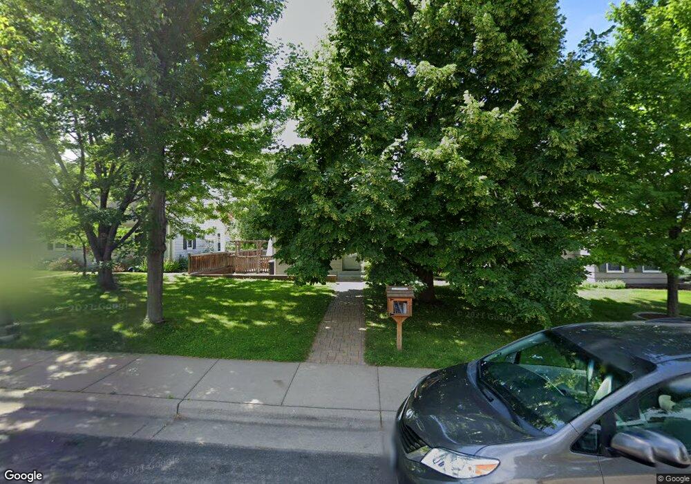
This home is located at 1994 Pinehurst Ave, Saint Paul, MN 55116 and is currently priced at $300,000, approximately $268 per square foot. This property was built in 1938. 1994 Pinehurst Ave is a home located in Ramsey County with nearby schools including Horace Mann School, Highland Park Middle School, and Highland Park Senior High.
| Date | Type | Sale Price | Title Company |
|---|---|---|---|
| Warranty Deed | $300,000 | Great North Title | |
| Warranty Deed | $283,000 | Watermark Title Agency Llc |
| Date | Status | Loan Amount | Loan Type |
|---|---|---|---|
| Previous Owner | $226,400 | Purchase Money Mortgage |
| Date | Event | Price | List to Sale | Price per Sq Ft |
|---|---|---|---|---|
| 01/02/2026 01/02/26 | Sold | $300,000 | -- | $269 / Sq Ft |
| Year | Tax Paid | Tax Assessment Tax Assessment Total Assessment is a certain percentage of the fair market value that is determined by local assessors to be the total taxable value of land and additions on the property. | Land | Improvement |
|---|---|---|---|---|
| 2025 | $4,850 | $350,200 | $160,700 | $189,500 |
| 2023 | $4,850 | $318,700 | $160,700 | $158,000 |
| 2022 | $4,556 | $294,600 | $160,700 | $133,900 |
| 2021 | $4,288 | $289,600 | $160,700 | $128,900 |
| 2020 | $4,636 | $283,300 | $160,700 | $122,600 |
| 2019 | $4,834 | $284,700 | $160,700 | $124,000 |
| 2018 | $4,212 | $292,200 | $160,700 | $131,500 |
| 2017 | $4,298 | $265,200 | $160,700 | $104,500 |
| 2016 | $4,092 | $0 | $0 | $0 |
| 2015 | $3,992 | $258,200 | $137,700 | $120,500 |
| 2014 | $3,632 | $0 | $0 | $0 |
Buyer's Agent in 2026
Adam Tafel
Real Broker, LLC
(715) 456-7205
7 in this area
178 Total Sales
Source: NorthstarMLS
MLS Number: 7030201
APN: 16-28-23-22-0060
Disclaimer: Certain information contained herein is derived from information provided by parties other than Homes.com. All information provided is deemed reliable, but is not guaranteed to be accurate and should be independently verified.
![]() Based on information submitted to the MLS GRID. All data is obtained from various sources and may not have been verified by broker or MLS GRID. Supplied Open House Information is subject to change without notice. All information should be independently reviewed and verified for accuracy. Properties may or may not be listed by the office/agent presenting the information. Some IDX listings have been excluded from this website.
Based on information submitted to the MLS GRID. All data is obtained from various sources and may not have been verified by broker or MLS GRID. Supplied Open House Information is subject to change without notice. All information should be independently reviewed and verified for accuracy. Properties may or may not be listed by the office/agent presenting the information. Some IDX listings have been excluded from this website.
Based on information submitted to the MLS GRID
Ask me questions while you tour the home.