1994 Swamp Rd Furlong, PA 18925
Estimated Value: $1,036,000 - $1,437,000
4
Beds
3
Baths
4,046
Sq Ft
$289/Sq Ft
Est. Value
About This Home
This home is located at 1994 Swamp Rd, Furlong, PA 18925 and is currently estimated at $1,168,575, approximately $288 per square foot. 1994 Swamp Rd is a home located in Bucks County with nearby schools including Bridge Valley Elementary School, Holicong Middle School, and Central Bucks High School - East.
Ownership History
Date
Name
Owned For
Owner Type
Purchase Details
Closed on
Jun 29, 2005
Sold by
Mask Trust Inc
Bought by
Griffin Robert
Current Estimated Value
Home Financials for this Owner
Home Financials are based on the most recent Mortgage that was taken out on this home.
Original Mortgage
$450,000
Outstanding Balance
$230,983
Interest Rate
5.5%
Mortgage Type
Fannie Mae Freddie Mac
Estimated Equity
$937,592
Purchase Details
Closed on
Jun 3, 2004
Sold by
Canally Laurie J
Bought by
Mask Trust Inc
Purchase Details
Closed on
Feb 26, 2000
Sold by
Laphen Richard A and Laphen Laurie J
Bought by
Laphen Laurie J and Steltz Laurie J
Purchase Details
Closed on
Jun 20, 1994
Sold by
Laphen Richard A
Bought by
Laphen Richard A and Laphen Laurie J
Home Financials for this Owner
Home Financials are based on the most recent Mortgage that was taken out on this home.
Original Mortgage
$312,000
Interest Rate
5%
Create a Home Valuation Report for This Property
The Home Valuation Report is an in-depth analysis detailing your home's value as well as a comparison with similar homes in the area
Home Values in the Area
Average Home Value in this Area
Purchase History
| Date | Buyer | Sale Price | Title Company |
|---|---|---|---|
| Griffin Robert | $876,000 | T A Title - Ed Sliker | |
| Mask Trust Inc | $450,000 | Security Search & Abstract C | |
| Laphen Laurie J | -- | -- | |
| Laphen Richard A | -- | -- |
Source: Public Records
Mortgage History
| Date | Status | Borrower | Loan Amount |
|---|---|---|---|
| Open | Griffin Robert | $450,000 | |
| Previous Owner | Laphen Richard A | $312,000 |
Source: Public Records
Tax History Compared to Growth
Tax History
| Year | Tax Paid | Tax Assessment Tax Assessment Total Assessment is a certain percentage of the fair market value that is determined by local assessors to be the total taxable value of land and additions on the property. | Land | Improvement |
|---|---|---|---|---|
| 2025 | $13,767 | $84,560 | $13,880 | $70,680 |
| 2024 | $13,767 | $84,560 | $13,880 | $70,680 |
| 2023 | $13,300 | $84,560 | $13,880 | $70,680 |
| 2022 | $13,141 | $84,560 | $13,880 | $70,680 |
| 2021 | $12,984 | $84,560 | $13,880 | $70,680 |
| 2020 | $12,984 | $84,560 | $13,880 | $70,680 |
| 2019 | $12,900 | $84,560 | $13,880 | $70,680 |
| 2018 | $12,900 | $84,560 | $13,880 | $70,680 |
| 2017 | $12,794 | $84,560 | $13,880 | $70,680 |
| 2016 | $12,921 | $84,560 | $13,880 | $70,680 |
| 2015 | -- | $84,560 | $13,880 | $70,680 |
| 2014 | -- | $84,560 | $13,880 | $70,680 |
Source: Public Records
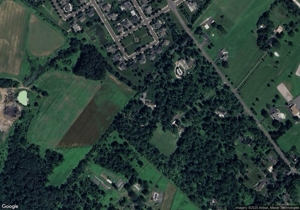
Map
Nearby Homes
- 2080 Bedfordshire Rd
- 0 Old York Rd Unit PABU2103356
- 2209 Swamp Rd
- 2113 Redbud Ln
- 3017 Dorchester St E Unit 125
- 2310 S Whittmore St
- 1948 Forest Grove Rd
- 3657 Powder Horn Dr
- 2443 Sugar Bottom Rd
- 108 Eagle Ct Unit 105
- 3772 Powder Horn Dr
- 2807 Mountain Laurel Dr
- 547 Mccarty Dr
- 1515 Sugar Bottom Rd
- 106 Saddle Dr
- lot #3 next to 3739 York Rd
- 4549 Lower Mountain Rd
- 1834 Augusta Dr
- 1249 Pebble Hill Rd
- 1501 Deborah Ct Unit 2102
- 2044 Derbyshire Rd
- 2038 Derbyshire Rd
- 2032 Derbyshire Rd
- 2050 Derbyshire Rd
- 1970 Swamp Rd
- 2026 Derbyshire Rd
- 2062 Derbyshire Rd
- 2020 Derbyshire Rd
- 1918 Swamp Rd
- 2014 Derbyshire Rd
- 2008 Derbyshire Rd
- 3324 Cheshire Rd
- 3328 Cheshire Rd
- 1977 Swamp Rd
- 1947 Swamp Rd
- 2032 Brookshire Rd
- 2035 Brookshire Rd
- 2048 Brookshire Rd
- 2043 Brookshire Rd
- 1880 Swamp Rd