Estimated Value: $303,000
--
Bed
1
Bath
--
Sq Ft
158
Acres
About This Home
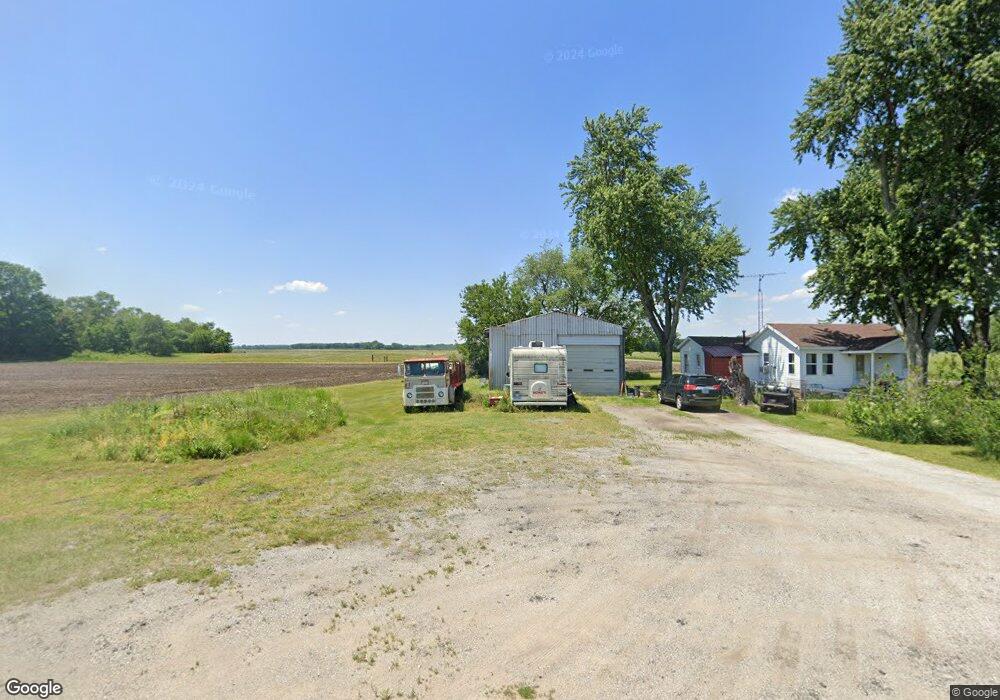
This home is located at 1995 N Range Rd, Knox, IN 46534 and is currently estimated at $303,000. 1995 N Range Rd is a home located in Starke County with nearby schools including North Judson-San Pierre Elementary School and N. Judson-San Pierre Junior/Senior High School.
Ownership History
Date
Name
Owned For
Owner Type
Purchase Details
Closed on
Sep 17, 2019
Sold by
Helton Kathleen M and Estate Of Joseph F Mclntire
Bought by
Mcintire Steven T
Current Estimated Value
Purchase Details
Closed on
Sep 16, 2019
Sold by
Mcintire William L and Mcintire Deborah R
Bought by
Helton Kathlen M and Estate Of Joseph F Mcintire
Purchase Details
Closed on
Aug 22, 2011
Sold by
Mcintire Joseph F and Mcintire Dorothy J
Bought by
Mcintire Joseph F and Mcintire Dorothy J
Create a Home Valuation Report for This Property
The Home Valuation Report is an in-depth analysis detailing your home's value as well as a comparison with similar homes in the area
Home Values in the Area
Average Home Value in this Area
Purchase History
| Date | Buyer | Sale Price | Title Company |
|---|---|---|---|
| Mcintire Steven T | -- | None Available | |
| Helton Kathlen M | -- | None Available | |
| Mcintire Joseph F | -- | None Available |
Source: Public Records
Tax History Compared to Growth
Tax History
| Year | Tax Paid | Tax Assessment Tax Assessment Total Assessment is a certain percentage of the fair market value that is determined by local assessors to be the total taxable value of land and additions on the property. | Land | Improvement |
|---|---|---|---|---|
| 2024 | $4,256 | $302,100 | $283,800 | $18,300 |
| 2023 | $3,978 | $256,300 | $238,000 | $18,300 |
| 2022 | $3,364 | $208,900 | $190,200 | $18,700 |
| 2021 | $3,415 | $183,600 | $165,900 | $17,700 |
| 2020 | $3,605 | $181,900 | $164,600 | $17,300 |
| 2019 | $4,023 | $212,300 | $196,400 | $15,900 |
| 2018 | $3,930 | $215,900 | $200,800 | $15,100 |
| 2017 | $4,201 | $243,000 | $228,800 | $14,200 |
| 2016 | $4,200 | $255,600 | $241,500 | $14,100 |
| 2014 | $4,263 | $266,000 | $252,000 | $14,000 |
| 2013 | $3,752 | $233,100 | $219,000 | $14,100 |
Source: Public Records
Map
Nearby Homes
- TBD E Division Rd
- 1945 E 150 S
- 1563 U S 35
- 1301 W Culver Rd
- 4500 E 300 N
- 1892 W 200 S
- 501 W John St
- 207 W Lake St
- 203 W Lake St
- 305 W New York St
- 105 S Bower St
- 2075 E 200 S
- 980 E 250 S
- 14.89 Acres W Culver Rd
- 302 S Main St
- 701 S Shield St
- 303 E Lake St
- 605 S Main St
- 703 S Main St
- 4152 S State Road 35