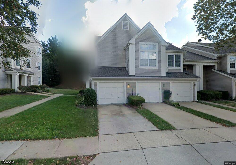
19951 Dunstable Cir Germantown, MD 20876
Estimated Value: $342,396 - $379,000
Studio
2
Baths
1,638
Sq Ft
$217/Sq Ft
Est. Value
About This Home
This home is located at 19951 Dunstable Cir, Germantown, MD 20876 and is currently estimated at $354,849, approximately $216 per square foot. 19951 Dunstable Cir is a home located in Montgomery County with nearby schools including South Lake Elementary School, Neelsville Middle, and Watkins Mill High School.
Ownership History
Date
Name
Owned For
Owner Type
Purchase Details
Closed on
Jul 1, 2024
Sold by
Davis Stephanie and Jones Eric R
Bought by
Davis Stephanie
Current Estimated Value
Home Financials for this Owner
Home Financials are based on the most recent Mortgage that was taken out on this home.
Original Mortgage
$240,000
Outstanding Balance
$237,067
Interest Rate
6.87%
Mortgage Type
New Conventional
Estimated Equity
$117,782
Purchase Details
Closed on
Sep 20, 2021
Sold by
Jones Robert E and The Robert E Jones Living Trus
Bought by
Davis Stephanie and Jones Eric R
Home Financials for this Owner
Home Financials are based on the most recent Mortgage that was taken out on this home.
Original Mortgage
$240,000
Interest Rate
2.8%
Mortgage Type
New Conventional
Purchase Details
Closed on
Jul 23, 2015
Sold by
Jones Robert E
Bought by
Jones Robert E and Robert E Jones Living Trust
Purchase Details
Closed on
Nov 15, 1999
Sold by
Howard Reuben T
Bought by
Jones Robert J
Create a Home Valuation Report for This Property
The Home Valuation Report is an in-depth analysis detailing your home's value as well as a comparison with similar homes in the area
Home Values in the Area
Average Home Value in this Area
Purchase History
| Date | Buyer | Sale Price | Title Company |
|---|---|---|---|
| Davis Stephanie | -- | None Listed On Document | |
| Davis Stephanie | -- | None Listed On Document | |
| Davis Stephanie | $270,000 | Commonwealth Land Ttl Ins Co | |
| Jones Robert E | -- | Attorney | |
| Jones Robert J | $110,000 | -- |
Source: Public Records
Mortgage History
| Date | Status | Borrower | Loan Amount |
|---|---|---|---|
| Open | Davis Stephanie | $240,000 | |
| Closed | Davis Stephanie | $240,000 | |
| Previous Owner | Davis Stephanie | $240,000 |
Source: Public Records
Tax History
| Year | Tax Paid | Tax Assessment Tax Assessment Total Assessment is a certain percentage of the fair market value that is determined by local assessors to be the total taxable value of land and additions on the property. | Land | Improvement |
|---|---|---|---|---|
| 2025 | $3,372 | $290,000 | -- | -- |
| 2024 | $3,372 | $260,000 | $0 | $0 |
| 2023 | $2,314 | $230,000 | $69,000 | $161,000 |
| 2022 | $2,157 | $226,667 | $0 | $0 |
| 2021 | $2,071 | $223,333 | $0 | $0 |
| 2020 | $2,011 | $220,000 | $66,000 | $154,000 |
| 2019 | $3,924 | $216,667 | $0 | $0 |
| 2018 | $1,921 | $213,333 | $0 | $0 |
| 2017 | $1,976 | $210,000 | $0 | $0 |
| 2016 | -- | $210,000 | $0 | $0 |
| 2015 | $2,582 | $210,000 | $0 | $0 |
| 2014 | $2,582 | $210,000 | $0 | $0 |
Source: Public Records
Map
Nearby Homes
- 11101 Knights Ct
- 19916 Cedarbluff Dr
- 20000 Gateshead Cir
- 19948 Gateshead Cir
- 11208 Minstrel Tune Dr
- 19950 Appledowre Cir
- 11320 Halethorpe Terrace
- 31 Stoney Point Ct
- 11462 Fruitwood Way
- 11317 Hawks Ridge Terrace
- 20113 Locustdale Dr
- 11406 Locustdale Terrace
- 11001 Grassy Knoll Terrace
- 6 Cross Laurel Ct
- 11511 Brundidge Terrace
- 20106 Red Gala Terrace
- 20411 Cabana Dr
- 11511 Aldburg Way
- 19317 Plummer Dr
- 11506 Aberstraw Way
- 19949 Dunstable Cir
- 19953 Dunstable Cir
- 19943 Dunstable Cir
- 19947 Dunstable Cir
- 19945 Dunstable Cir
- 19959 Dunstable Cir
- 19955 Dunstable Cir
- 19957 Dunstable Cir
- 19965 Dunstable Cir
- 19961 Dunstable Cir
- 19963 Dunstable Cir
- 19941 Dunstable Cir
- 19939 Dunstable Cir
- 19937 Dunstable Cir
- 19946 Dunstable Cir
- 19942 Dunstable Cir
- 19944 Dunstable Cir
- 19948 Dunstable Cir
- 19952 Dunstable Cir
- 19950 Dunstable Cir
Your Personal Tour Guide
Ask me questions while you tour the home.