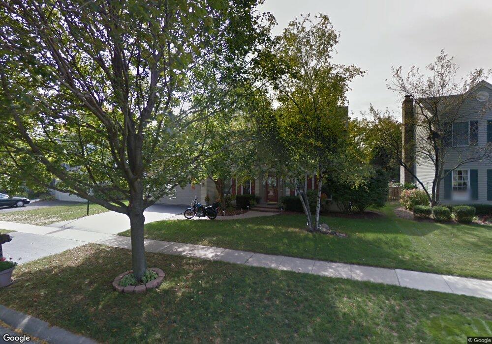
1996 Sheffield Ln Geneva, IL 60134
Northwest Central Geneva NeighborhoodEstimated Value: $513,000 - $575,000
3
Beds
3
Baths
2,430
Sq Ft
$219/Sq Ft
Est. Value
About This Home
This home is located at 1996 Sheffield Ln, Geneva, IL 60134 and is currently estimated at $531,232, approximately $218 per square foot. 1996 Sheffield Ln is a home located in Kane County with nearby schools including Williamsburg Elementary School, Geneva Community High School, and Kensington School - Geneva.
Ownership History
Date
Name
Owned For
Owner Type
Purchase Details
Closed on
Nov 13, 2004
Sold by
Kohorst Joseph C and Kohorst Katharine E
Bought by
Foutts Thomas K and Foutts Theresa F
Current Estimated Value
Home Financials for this Owner
Home Financials are based on the most recent Mortgage that was taken out on this home.
Original Mortgage
$155,000
Interest Rate
5.87%
Mortgage Type
Fannie Mae Freddie Mac
Create a Home Valuation Report for This Property
The Home Valuation Report is an in-depth analysis detailing your home's value as well as a comparison with similar homes in the area
Home Values in the Area
Average Home Value in this Area
Purchase History
| Date | Buyer | Sale Price | Title Company |
|---|---|---|---|
| Foutts Thomas K | $337,000 | Executive Land Title |
Source: Public Records
Mortgage History
| Date | Status | Borrower | Loan Amount |
|---|---|---|---|
| Previous Owner | Foutts Thomas K | $155,000 |
Source: Public Records
Tax History Compared to Growth
Tax History
| Year | Tax Paid | Tax Assessment Tax Assessment Total Assessment is a certain percentage of the fair market value that is determined by local assessors to be the total taxable value of land and additions on the property. | Land | Improvement |
|---|---|---|---|---|
| 2024 | $9,565 | $140,964 | $34,159 | $106,805 |
| 2023 | $9,234 | $128,149 | $31,054 | $97,095 |
| 2022 | $9,057 | $119,075 | $28,855 | $90,220 |
| 2021 | $8,774 | $114,650 | $27,783 | $86,867 |
| 2020 | $8,663 | $112,900 | $27,359 | $85,541 |
| 2019 | $8,629 | $110,762 | $26,841 | $83,921 |
| 2018 | $8,185 | $108,667 | $26,841 | $81,826 |
| 2017 | $8,327 | $105,769 | $26,125 | $79,644 |
| 2016 | $8,363 | $104,340 | $25,772 | $78,568 |
| 2015 | -- | $99,202 | $24,503 | $74,699 |
| 2014 | -- | $99,202 | $24,503 | $74,699 |
| 2013 | -- | $99,202 | $24,503 | $74,699 |
Source: Public Records
Map
Nearby Homes
- 231 N Cambridge Dr
- 602 Highbury Ln
- 51 Burgess Rd
- 1736 Kaneville Rd
- 2749 Stone Cir
- 2753 Stone Cir
- 2747 Stone Cir
- 2751 Stone Cir
- 560 Renee Ct
- 1437 Cooper Ln
- 1211 James St
- 2692 Stone Cir Unit 203
- 2671 Stone Cir Unit 208
- 1823 Fargo Blvd
- 806 Fellows St
- 1336-1338 S 14th St
- 2731 Stone Cir
- 2771 Stone Cir
- 2767 Stone Cir
- 1330-1332 S 14th St
- 2000 Sheffield Ln Unit 2A
- 1916 Sheffield Ln Unit 2
- 1999 Williamsburg Ave
- 1921 Williamsburg Ave
- 2002 Sheffield Ln
- 1912 Sheffield Ln
- 2013 Williamsburg Ave
- 1997 Sheffield Ln Unit 2
- 1915 Williamsburg Ave
- 1919 Sheffield Ln
- 325 Colonial Cir
- 2015 Williamsburg Ave Unit 2
- 2010 Sheffield Ln
- 1910 Sheffield Ln Unit 2
- 327 Colonial Cir Unit 4
- 2017 Williamsburg Ave
- 2016 Sheffield Ln
- 1900 Sheffield Ln
- 1909 Sheffield Ln
- 2000 Williamsburg Ave