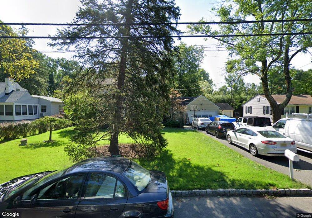
1996 W Broad St Scotch Plains, NJ 07076
Estimated Value: $652,962 - $939,000
--
Bed
--
Bath
1,956
Sq Ft
$410/Sq Ft
Est. Value
About This Home
This home is located at 1996 W Broad St, Scotch Plains, NJ 07076 and is currently estimated at $802,741, approximately $410 per square foot. 1996 W Broad St is a home located in Union County with nearby schools including William J. McGinn Elementary School, Terrill Middle School, and Scotch Plains-Fanwood High School.
Ownership History
Date
Name
Owned For
Owner Type
Purchase Details
Closed on
May 24, 1994
Sold by
Pelosi Emiddio S and Pelosi Frances
Bought by
Rembish Ronald M and Rembish Geraldine A
Current Estimated Value
Create a Home Valuation Report for This Property
The Home Valuation Report is an in-depth analysis detailing your home's value as well as a comparison with similar homes in the area
Home Values in the Area
Average Home Value in this Area
Purchase History
| Date | Buyer | Sale Price | Title Company |
|---|---|---|---|
| Rembish Ronald M | $155,000 | -- |
Source: Public Records
Tax History Compared to Growth
Tax History
| Year | Tax Paid | Tax Assessment Tax Assessment Total Assessment is a certain percentage of the fair market value that is determined by local assessors to be the total taxable value of land and additions on the property. | Land | Improvement |
|---|---|---|---|---|
| 2025 | $14,275 | $121,300 | $43,500 | $77,800 |
| 2024 | $13,854 | $121,300 | $43,500 | $77,800 |
| 2023 | $13,854 | $121,300 | $43,500 | $77,800 |
| 2022 | $13,689 | $121,300 | $43,500 | $77,800 |
| 2021 | $13,666 | $121,300 | $43,500 | $77,800 |
| 2020 | $13,600 | $121,300 | $43,500 | $77,800 |
| 2019 | $13,499 | $121,300 | $43,500 | $77,800 |
| 2018 | $13,273 | $121,300 | $43,500 | $77,800 |
| 2017 | $12,978 | $121,300 | $43,500 | $77,800 |
| 2016 | $12,728 | $121,300 | $43,500 | $77,800 |
| 2015 | $12,519 | $121,300 | $43,500 | $77,800 |
| 2014 | $12,107 | $121,300 | $43,500 | $77,800 |
Source: Public Records
Map
Nearby Homes
- 1933 W Broad St
- 1933 Mary Ellen Ln
- 2 Brookside Ct
- 2154 W Broad St
- 2116 Newark Ave
- 119 Lamberts Mill Rd
- 1466 Lamberts Mill Rd
- 187 King St
- 314 Highgate Ave
- 57 Rambling Dr
- 5 Robin Rd
- 2 Dutch Ln
- 2212 Shady Ln
- 120 S Martine Ave
- 345 La Grande Ave
- 2314 Longfellow Ave
- 2219 North Ave Unit 6
- 1380 Terrill Rd
- 40 1st St
- 524 Edgar Rd
- 2000 W Broad St
- 1988 W Broad St
- 2010 W Broad St
- 1982 W Broad St
- 1995 W Broad St
- 1985 W Broad St
- 2005 W Broad St
- 2016 W Broad St
- 1972 W Broad St
- 1975 W Broad St
- 2009 W Broad St
- 1978 W Broad St
- 1990 Mary Beth Ct
- 4 Ravine Ct
- 2015 W Broad St
- 1980 Mary Beth Ct
- 1309 Graymill Dr
- 1965 W Broad St
- 2021 W Broad St
- 1970 Mary Beth Ct