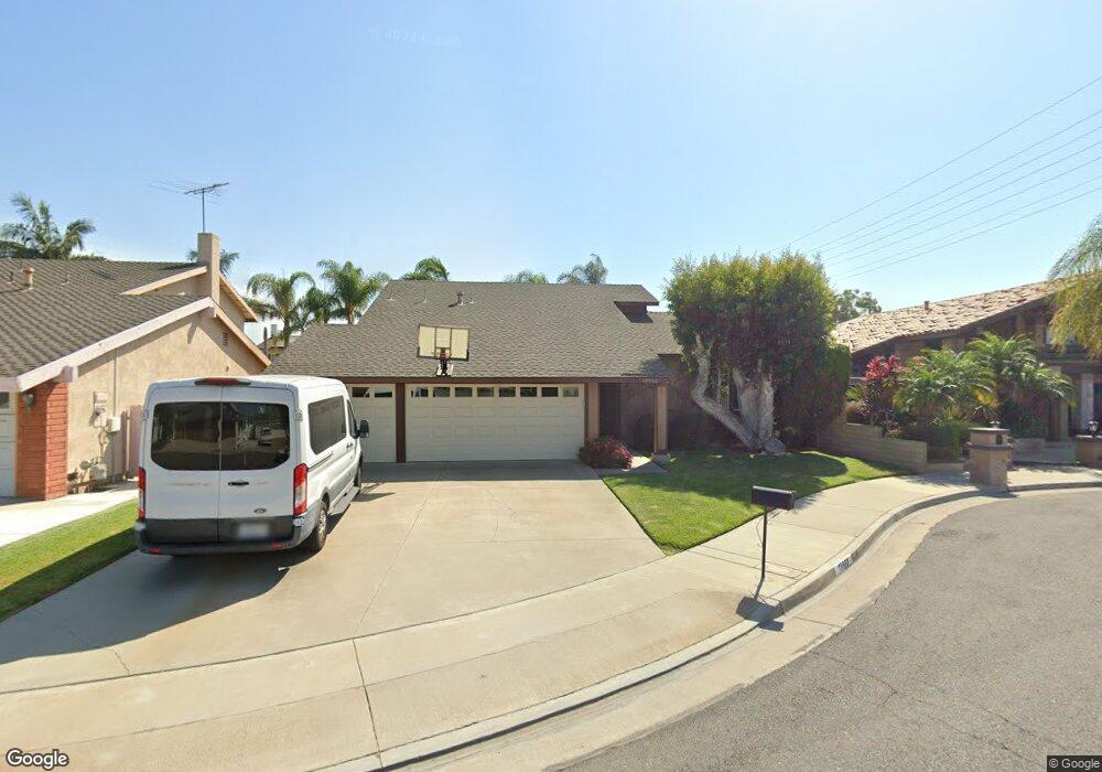
19962 Weems Ln Huntington Beach, CA 92646
Estimated Value: $1,546,444 - $1,716,000
4
Beds
2
Baths
1,979
Sq Ft
$820/Sq Ft
Est. Value
About This Home
This home is located at 19962 Weems Ln, Huntington Beach, CA 92646 and is currently estimated at $1,622,611, approximately $819 per square foot. 19962 Weems Ln is a home located in Orange County with nearby schools including John R. Peterson Elementary, Ethel Dwyer Middle, and Huntington Beach High School.
Ownership History
Date
Name
Owned For
Owner Type
Purchase Details
Closed on
Mar 10, 2021
Sold by
Fagan Michael G and Fagan Mary E
Bought by
Fagan Michael G and Fagan Mary E
Current Estimated Value
Purchase Details
Closed on
Jul 15, 1999
Sold by
Security Trust Company
Bought by
Fagan Michael G and Fagen Mary Elizabeth
Create a Home Valuation Report for This Property
The Home Valuation Report is an in-depth analysis detailing your home's value as well as a comparison with similar homes in the area
Home Values in the Area
Average Home Value in this Area
Purchase History
| Date | Buyer | Sale Price | Title Company |
|---|---|---|---|
| Fagan Michael G | -- | None Available | |
| Fagan Michael G | -- | None Available | |
| Fagan Michael G | -- | Chicago Title Co |
Source: Public Records
Tax History Compared to Growth
Tax History
| Year | Tax Paid | Tax Assessment Tax Assessment Total Assessment is a certain percentage of the fair market value that is determined by local assessors to be the total taxable value of land and additions on the property. | Land | Improvement |
|---|---|---|---|---|
| 2025 | $2,316 | $185,164 | $71,660 | $113,504 |
| 2024 | $2,316 | $181,534 | $70,255 | $111,279 |
| 2023 | $2,259 | $177,975 | $68,877 | $109,098 |
| 2022 | $2,198 | $174,486 | $67,527 | $106,959 |
| 2021 | $2,157 | $171,065 | $66,203 | $104,862 |
| 2020 | $2,141 | $169,311 | $65,524 | $103,787 |
| 2019 | $2,118 | $165,992 | $64,240 | $101,752 |
| 2018 | $2,085 | $162,738 | $62,981 | $99,757 |
| 2017 | $2,056 | $159,548 | $61,747 | $97,801 |
| 2016 | $1,972 | $156,420 | $60,536 | $95,884 |
| 2015 | $1,950 | $154,071 | $59,627 | $94,444 |
| 2014 | $1,908 | $151,053 | $58,459 | $92,594 |
Source: Public Records
Map
Nearby Homes
- 8401 Dallas Cir
- 20162 S New Britain Ln
- 8182 Mainsail Dr Unit 203
- 20251 Cape Coral Ln Unit 315
- 8122 Seawater Dr
- 20302 Tidepool Cir Unit 204
- 20301 Bluffside Cir Unit D401
- 20301 Bluffside Cir Unit D312
- 609 Amber Dr
- 8472 Norfolk Dr
- 20331 Bluffside Cir Unit 411
- 20331 Bluffside Cir Unit A108
- 20331 Bluffside Cir Unit 222
- 20331 Bluffside Cir Unit A320
- 20331 Bluffside Cir Unit 417
- 20371 Bluffside Cir Unit B214
- 20251 Lighthouse Ln
- 1425 Alpine Ln
- 8342 Seaport Dr
- 20012 Treasure Cir