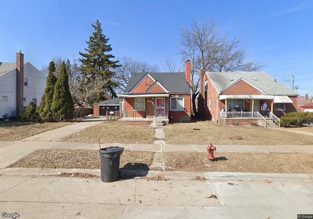
19963 Dean St Detroit, MI 48234
Farwell NeighborhoodEstimated Value: $84,000 - $149,000
4
Beds
2
Baths
1,654
Sq Ft
$70/Sq Ft
Est. Value
About This Home
This home is located at 19963 Dean St, Detroit, MI 48234 and is currently estimated at $116,405, approximately $70 per square foot. 19963 Dean St is a home located in Wayne County with nearby schools including Mason Academy, Edward 'Duke' Ellington Conservatory of Music and Art, and Charles L. Spain Elementary-Middle School.
Ownership History
Date
Name
Owned For
Owner Type
Purchase Details
Closed on
Nov 5, 2017
Sold by
Stamps Willie and Stamps Anthony
Bought by
Shah Azziem
Current Estimated Value
Purchase Details
Closed on
Nov 11, 2014
Sold by
Treasurer Of The Charter County Of Wayne
Bought by
Stamps Anthony
Purchase Details
Closed on
Nov 18, 2011
Sold by
Wojtowicz Raymond J
Bought by
Stamps Anthony
Purchase Details
Closed on
Aug 15, 2005
Sold by
Miron Lisa
Bought by
Edwards Robert L
Purchase Details
Closed on
Jul 29, 2005
Sold by
Graves Richard and Graves Eunice L
Bought by
Knott Anthony
Create a Home Valuation Report for This Property
The Home Valuation Report is an in-depth analysis detailing your home's value as well as a comparison with similar homes in the area
Home Values in the Area
Average Home Value in this Area
Purchase History
| Date | Buyer | Sale Price | Title Company |
|---|---|---|---|
| Shah Azziem | $500 | None Available | |
| Stamps Anthony | $4,100 | None Available | |
| Stamps Anthony | $3,200 | None Available | |
| Edwards Robert L | $67,000 | Greco | |
| Knott Anthony | $117,000 | Metro Title Corp |
Source: Public Records
Tax History Compared to Growth
Tax History
| Year | Tax Paid | Tax Assessment Tax Assessment Total Assessment is a certain percentage of the fair market value that is determined by local assessors to be the total taxable value of land and additions on the property. | Land | Improvement |
|---|---|---|---|---|
| 2025 | $1,259 | $52,400 | $0 | $0 |
| 2024 | $1,259 | $45,000 | $0 | $0 |
| 2023 | $1,221 | $36,000 | $0 | $0 |
| 2022 | $1,337 | $30,100 | $0 | $0 |
| 2021 | $251 | $0 | $0 | $0 |
| 2020 | $1,278 | $20,600 | $0 | $0 |
| 2019 | $1,270 | $16,300 | $0 | $0 |
| 2018 | $1,081 | $14,300 | $0 | $0 |
| 2017 | $264 | $13,900 | $0 | $0 |
| 2016 | $2,180 | $39,300 | $0 | $0 |
| 2015 | $2,570 | $25,700 | $0 | $0 |
| 2013 | $3,210 | $32,104 | $0 | $0 |
| 2010 | -- | $47,069 | $2,112 | $44,957 |
Source: Public Records
Map
Nearby Homes
- 19942 Binder St
- 20100 Wexford St
- 20201 Dean St
- 19700 Binder St
- 19690 Wexford St
- 20270 Dean Ave
- 19649 Ryan Rd
- 19675 Binder St
- 20246 Binder St
- 19942 Norwood St
- 20161 Yonka St
- 20120 Norwood St
- 20138 Norwood St
- 20201 Yonka St
- 19440 Dean St
- 19660 Norwood St
- 19444 Yonka St
- 20499 Binder St
- 20209 Revere St
- 19360 Ryan Rd