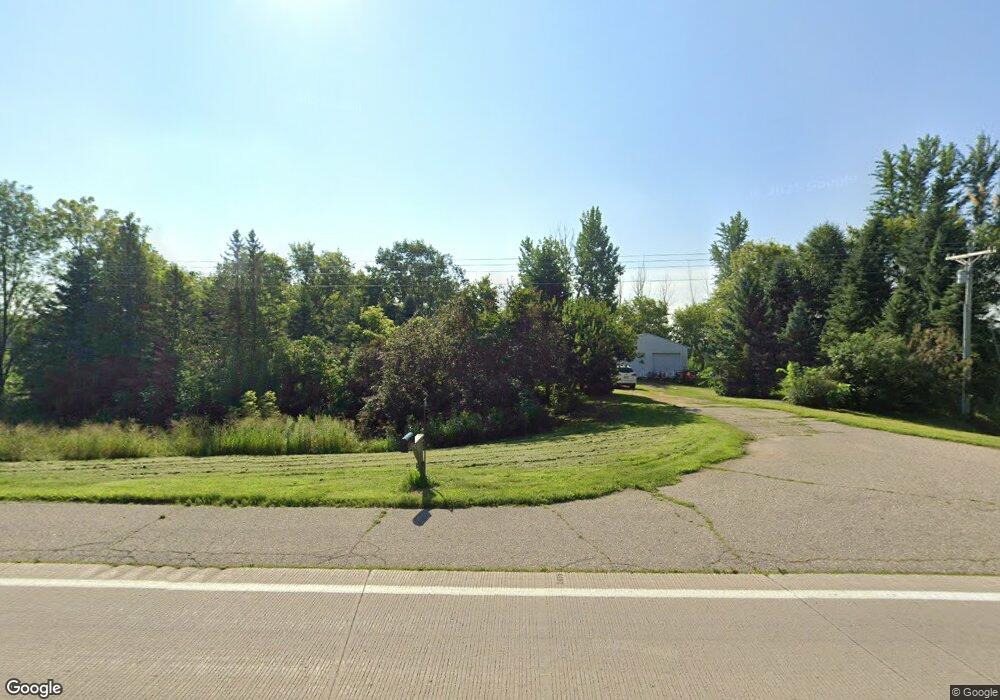
19963 U S Highway 169 Lake Crystal, MN 56055
Estimated Value: $239,000 - $288,000
2
Beds
2
Baths
920
Sq Ft
$294/Sq Ft
Est. Value
About This Home
This home is located at 19963 U S Highway 169, Lake Crystal, MN 56055 and is currently estimated at $270,448, approximately $293 per square foot. 19963 U S Highway 169 is a home located in Blue Earth County with nearby schools including Lake Crystal Wellcome Memorial Elementary School and Lake Crystal Wellcome Memorial Secondary School.
Ownership History
Date
Name
Owned For
Owner Type
Purchase Details
Closed on
Oct 15, 2013
Sold by
Peterson Sarah J and Peterson Rebecca L
Bought by
Ryg Nicholas A and Baumberger Faith R
Current Estimated Value
Home Financials for this Owner
Home Financials are based on the most recent Mortgage that was taken out on this home.
Original Mortgage
$132,554
Interest Rate
4.4%
Mortgage Type
FHA
Create a Home Valuation Report for This Property
The Home Valuation Report is an in-depth analysis detailing your home's value as well as a comparison with similar homes in the area
Home Values in the Area
Average Home Value in this Area
Purchase History
| Date | Buyer | Sale Price | Title Company |
|---|---|---|---|
| Ryg Nicholas A | $135,000 | Concierge Title |
Source: Public Records
Mortgage History
| Date | Status | Borrower | Loan Amount |
|---|---|---|---|
| Closed | Ryg Nicholas A | $132,554 | |
| Closed | Ryg Nicholas A | $132,554 |
Source: Public Records
Tax History Compared to Growth
Tax History
| Year | Tax Paid | Tax Assessment Tax Assessment Total Assessment is a certain percentage of the fair market value that is determined by local assessors to be the total taxable value of land and additions on the property. | Land | Improvement |
|---|---|---|---|---|
| 2025 | $1,380 | $221,400 | $64,600 | $156,800 |
| 2024 | $1,380 | $217,300 | $64,600 | $152,700 |
| 2023 | $1,472 | $214,600 | $64,600 | $150,000 |
| 2022 | $1,284 | $214,600 | $64,600 | $150,000 |
| 2021 | $1,236 | $169,100 | $64,600 | $104,500 |
| 2020 | $1,096 | $149,600 | $53,800 | $95,800 |
| 2019 | $1,058 | $149,600 | $53,800 | $95,800 |
| 2018 | $968 | $144,300 | $53,800 | $90,500 |
| 2017 | $884 | $139,700 | $53,800 | $85,900 |
| 2016 | $884 | $130,700 | $53,800 | $76,900 |
| 2015 | $8 | $128,900 | $53,800 | $75,100 |
| 2014 | $1,046 | $129,000 | $53,800 | $75,200 |
Source: Public Records
Map
Nearby Homes
- 0 Tbd S 60 Hwy Unit TBD Highway 60 S
- 52718 Foxtail Ln
- 419 Royal Rd
- 3202 3202 Noble Dr
- 3111 3111 Scotch Ln
- 52084 190th Ln
- 1111 Crystal Lake Dr
- 1111 1111 Crystal Lake Dr
- 1005 Lakeview Rd
- 0 Tbd Edgewater Rd Unit 7036053
- 0 Tbd Edgewater Rd Unit 7036052
- Lot 2 Edgewater Rd
- Lot 1 Edgewater Rd
- 1614 Le Sueur Ave
- 651 651 Daisy Ct
- 651 Daisy Ct
- 658 Daisy Ct
- 655 Luiken St
- 655 655 Luiken St
- 55856 River Fort Dr
- 19963 U S Highway 169
- 19956 U S Highway 169
- 20114 U S Highway 169
- 20030 U S Highway 169
- 53569 198th Ln
- 20040 539th Ln
- 20172 U S Highway 169
- 53633 198th Ln
- 53698 198th Ln
- 53337 198th St
- 19578 U S Highway 169
- 19578 U S Highway 169
- 53768 198th Ln
- 53550 204th St
- 53930 Garland Ln
- 54058 Garland Ln
- 53187 203rd St
- 53167 198th St
- 20385 U S Highway 169
- 20385 U S Highway 169