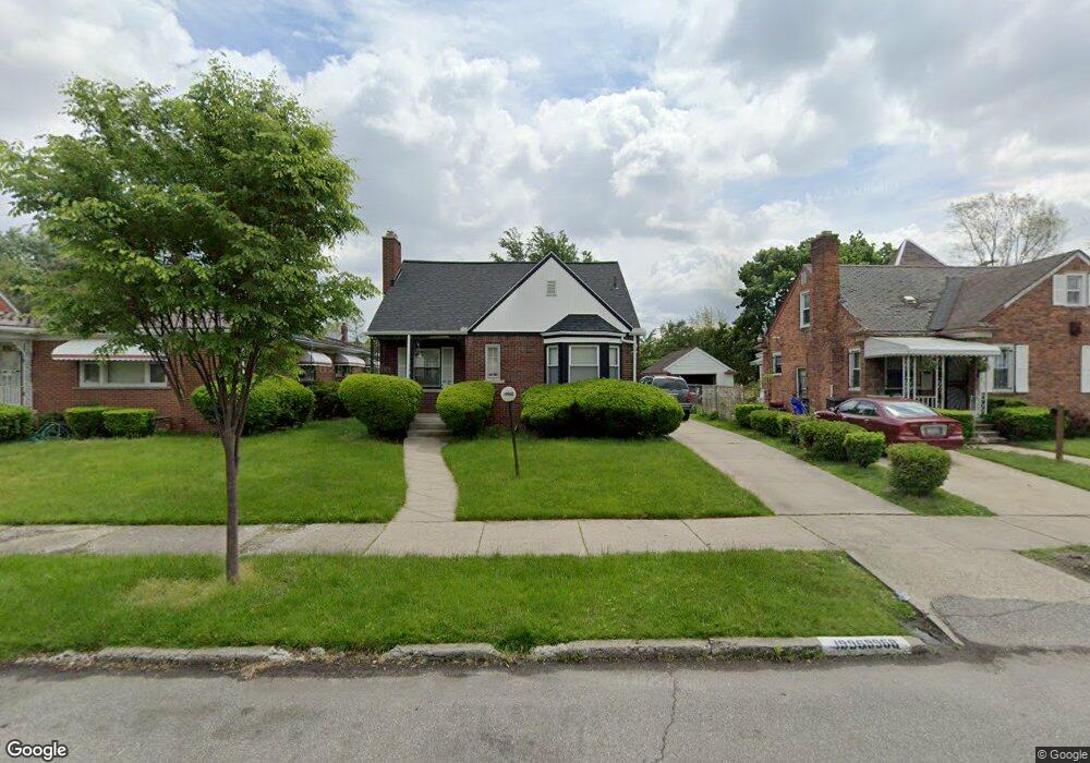
19968 Snowden St Detroit, MI 48235
Blackstone Park NeighborhoodEstimated Value: $94,202 - $130,000
--
Bed
1
Bath
1,094
Sq Ft
$103/Sq Ft
Est. Value
About This Home
This home is located at 19968 Snowden St, Detroit, MI 48235 and is currently estimated at $113,051, approximately $103 per square foot. 19968 Snowden St is a home located in Wayne County with nearby schools including Vernor Elementary School, Charles L. Spain Elementary-Middle School, and Edward 'Duke' Ellington Conservatory of Music and Art.
Ownership History
Date
Name
Owned For
Owner Type
Purchase Details
Closed on
Sep 9, 1994
Sold by
Oliver L Howard
Bought by
Holton Ellis and Holton Alice D
Current Estimated Value
Home Financials for this Owner
Home Financials are based on the most recent Mortgage that was taken out on this home.
Original Mortgage
$44,250
Interest Rate
8.6%
Mortgage Type
FHA
Create a Home Valuation Report for This Property
The Home Valuation Report is an in-depth analysis detailing your home's value as well as a comparison with similar homes in the area
Home Values in the Area
Average Home Value in this Area
Purchase History
| Date | Buyer | Sale Price | Title Company |
|---|---|---|---|
| Holton Ellis | $44,000 | -- |
Source: Public Records
Mortgage History
| Date | Status | Borrower | Loan Amount |
|---|---|---|---|
| Closed | Holton Ellis | $44,250 |
Source: Public Records
Tax History Compared to Growth
Tax History
| Year | Tax Paid | Tax Assessment Tax Assessment Total Assessment is a certain percentage of the fair market value that is determined by local assessors to be the total taxable value of land and additions on the property. | Land | Improvement |
|---|---|---|---|---|
| 2025 | $1,125 | $43,200 | $0 | $0 |
| 2024 | $1,125 | $37,600 | $0 | $0 |
| 2023 | $1,090 | $30,700 | $0 | $0 |
| 2022 | $1,191 | $25,800 | $0 | $0 |
| 2021 | $1,162 | $20,800 | $0 | $0 |
| 2020 | $1,150 | $19,100 | $0 | $0 |
| 2019 | $1,133 | $14,300 | $0 | $0 |
| 2018 | $969 | $12,400 | $0 | $0 |
| 2017 | $243 | $12,800 | $0 | $0 |
| 2016 | $1,295 | $17,500 | $0 | $0 |
| 2015 | $1,750 | $17,500 | $0 | $0 |
| 2013 | $2,171 | $25,669 | $0 | $0 |
| 2010 | -- | $37,635 | $1,138 | $36,497 |
Source: Public Records
Map
Nearby Homes
- 20124 Snowden St
- 19909 Hartwell St
- 20108 Cheyenne St
- 13517 Pembroke Ave
- 20129 Ward St
- 19744 Snowden St
- 19744 Littlefield St
- 19925 Schaefer Hwy
- 20150 Schaefer Hwy
- 20167 Ward St
- 19978 Tracey St
- 20196 Hartwell St
- 19721 Hartwell St
- 19719 Ward St
- 20184 Ward St
- 19733 Schaefer Hwy
- 19474 Cheyenne St
- 19483 Hartwell St
- 20242 Ward St
- 20110 Lesure St
- 19978 Snowden St
- 19978 Snowden St
- 19948 Snowden St
- 19986 Snowden St
- 19986 Snowden St
- 19946 Snowden St
- 19965 Littlefield St
- 19949 Littlefield St
- 19975 Littlefield St
- 19955 Littlefield St
- 19955 Littlefield St
- 19996 Snowden St
- 19939 Littlefield St
- 19985 Littlefield St
- 19936 Snowden St
- 19965 Snowden St
- 19965 Snowden St
- 19955 Snowden St
- 19977 Snowden St
- 19995 Littlefield St