1997 E 1050 S La Fontaine, IN 46940
Estimated Value: $247,000 - $308,000
2
Beds
2
Baths
2,448
Sq Ft
$115/Sq Ft
Est. Value
About This Home
This home is located at 1997 E 1050 S, La Fontaine, IN 46940 and is currently estimated at $281,797, approximately $115 per square foot. 1997 E 1050 S is a home located in Wabash County.
Ownership History
Date
Name
Owned For
Owner Type
Purchase Details
Closed on
Aug 30, 2010
Sold by
Baldwin Stephen K and Baldwin Cheryl J
Bought by
Lashure Jerry and Lashure Theresa A
Current Estimated Value
Home Financials for this Owner
Home Financials are based on the most recent Mortgage that was taken out on this home.
Original Mortgage
$109,600
Outstanding Balance
$72,172
Interest Rate
4.54%
Mortgage Type
New Conventional
Estimated Equity
$209,625
Create a Home Valuation Report for This Property
The Home Valuation Report is an in-depth analysis detailing your home's value as well as a comparison with similar homes in the area
Home Values in the Area
Average Home Value in this Area
Purchase History
| Date | Buyer | Sale Price | Title Company |
|---|---|---|---|
| Lashure Jerry | -- | -- |
Source: Public Records
Mortgage History
| Date | Status | Borrower | Loan Amount |
|---|---|---|---|
| Open | Lashure Jerry | $109,600 |
Source: Public Records
Tax History Compared to Growth
Tax History
| Year | Tax Paid | Tax Assessment Tax Assessment Total Assessment is a certain percentage of the fair market value that is determined by local assessors to be the total taxable value of land and additions on the property. | Land | Improvement |
|---|---|---|---|---|
| 2024 | $1,364 | $221,700 | $22,200 | $199,500 |
| 2023 | $1,585 | $216,200 | $22,200 | $194,000 |
| 2022 | $1,228 | $204,800 | $22,200 | $182,600 |
| 2021 | $1,220 | $187,600 | $18,300 | $169,300 |
| 2020 | $1,107 | $179,800 | $19,400 | $160,400 |
| 2019 | $569 | $140,500 | $19,400 | $121,100 |
| 2018 | $552 | $137,700 | $19,400 | $118,300 |
| 2017 | $513 | $133,800 | $19,400 | $114,400 |
| 2016 | $321 | $124,700 | $19,400 | $105,300 |
| 2014 | $295 | $119,500 | $19,400 | $100,100 |
| 2013 | $239 | $113,600 | $19,400 | $94,200 |
Source: Public Records
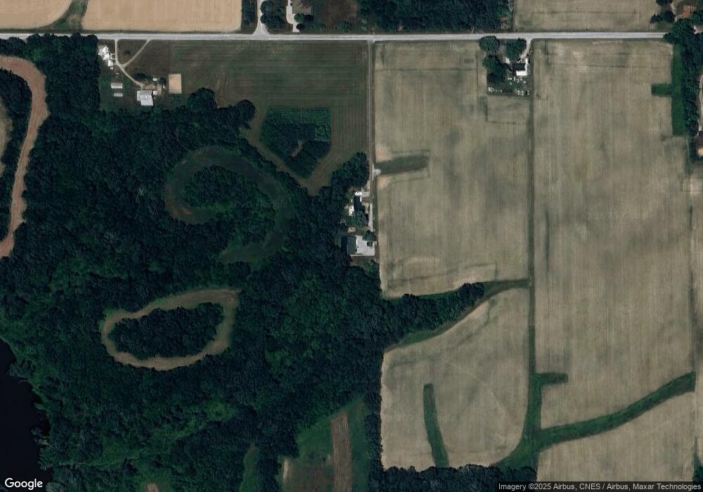
Map
Nearby Homes
- 3 Mason St
- 109 E Grant St
- 403 E Kendall St
- 3192 E 800 S Unit 2
- 3576 W 505 N
- 852 W 850 S
- 7754 S America Rd
- 4769 N Brooke Dr
- 100 N Delaware Ln
- 4493 N Wabash Rd
- 3682 E State Road 124
- 1920 W Westholme Dr
- 3930 N Avalon Dr
- 3920 N Avalon Dr
- 2165 E 400 S
- 1906 W James Dr
- 638 Laura Ln
- 5292 W Delphi Pike
- 611 Allen Dr
- 2214 N Wabash Rd
- 1958 E 1050 S Unit 2
- 2123 E 1050 S
- 1825 E 1050 S
- 2106 E 1050 S
- 2291 E 1050 S
- 2258 E 1050 S
- 2318 E 1050 S
- 2373 E 1050 S
- 2407 E 1050 S
- 11125 S Bruner Rd
- 10432 S 250 E
- 2162 E 1000 S
- 11242 S Bruner Rd
- 1598 E 1050 S
- 11307 S Bruner Rd
- 11379 S Bruner Rd
- 2611 E 1000 S
- 2855 E 1050 S
- 2775 E 1100 S
- 2878 E 1050 S