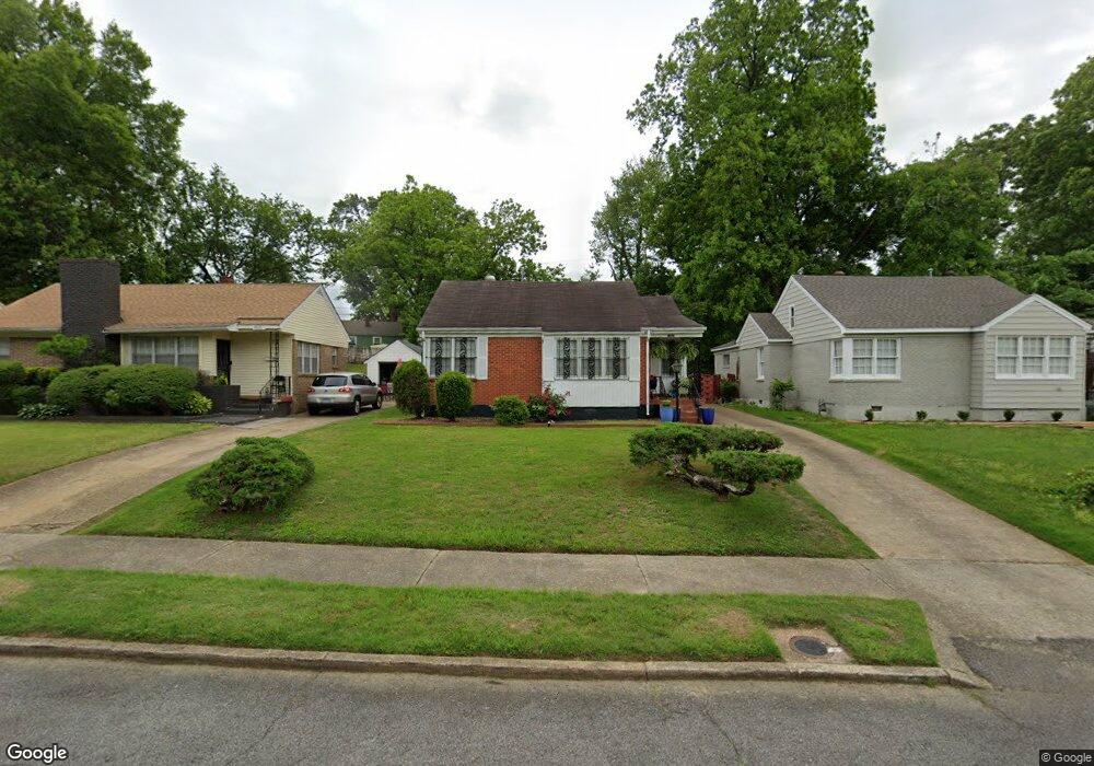
1997 Quinn Ave Memphis, TN 38114
Southeast Memphis NeighborhoodEstimated Value: $86,111 - $108,000
4
Beds
1
Bath
1,436
Sq Ft
$67/Sq Ft
Est. Value
About This Home
This home is located at 1997 Quinn Ave, Memphis, TN 38114 and is currently estimated at $96,528, approximately $67 per square foot. 1997 Quinn Ave is a home located in Shelby County with nearby schools including Hamilton High School, Hanley School - Elementary, and Hanley Schoool - Middle.
Ownership History
Date
Name
Owned For
Owner Type
Purchase Details
Closed on
Feb 28, 2022
Sold by
Gladys Mcchriston Living Trust
Bought by
Cathings Nansa Jo
Current Estimated Value
Home Financials for this Owner
Home Financials are based on the most recent Mortgage that was taken out on this home.
Original Mortgage
$4,000
Outstanding Balance
$1,352
Interest Rate
3.92%
Mortgage Type
New Conventional
Estimated Equity
$95,176
Purchase Details
Closed on
Dec 5, 2012
Sold by
Mcchriston Gladys
Bought by
Mcchriston Gladys C and Mcchriston Living Trust
Create a Home Valuation Report for This Property
The Home Valuation Report is an in-depth analysis detailing your home's value as well as a comparison with similar homes in the area
Home Values in the Area
Average Home Value in this Area
Purchase History
| Date | Buyer | Sale Price | Title Company |
|---|---|---|---|
| Cathings Nansa Jo | $40,000 | Weissman Firm | |
| Mcchriston Gladys C | -- | None Available |
Source: Public Records
Mortgage History
| Date | Status | Borrower | Loan Amount |
|---|---|---|---|
| Open | Cathings Nansa Jo | $4,000 | |
| Open | Cathings Nansa Jo | $30,000 |
Source: Public Records
Tax History Compared to Growth
Tax History
| Year | Tax Paid | Tax Assessment Tax Assessment Total Assessment is a certain percentage of the fair market value that is determined by local assessors to be the total taxable value of land and additions on the property. | Land | Improvement |
|---|---|---|---|---|
| 2025 | $409 | $19,125 | $2,875 | $16,250 |
| 2024 | -- | $12,075 | $1,250 | $10,825 |
| 2023 | $736 | $12,075 | $1,250 | $10,825 |
| 2022 | $736 | $12,075 | $1,250 | $10,825 |
| 2021 | $744 | $12,075 | $1,250 | $10,825 |
| 2020 | $350 | $10,950 | $1,250 | $9,700 |
| 2019 | $350 | $10,950 | $1,250 | $9,700 |
| 2018 | $350 | $10,950 | $1,250 | $9,700 |
| 2017 | $358 | $10,950 | $1,250 | $9,700 |
| 2016 | $482 | $11,025 | $0 | $0 |
| 2014 | $482 | $11,025 | $0 | $0 |
Source: Public Records
Map
Nearby Homes
- 1998 Cloverdale Dr
- 2100 Worthington Cir
- 1891 S Parkway E
- 1394 Chadwick Cir
- 0 Dublin Ave Unit LOTS 20 & 21 LAST TW
- 0 S Barksdale St
- 1816 Kerr Ave
- 1804 South Pkwy E
- 1812 Parkway Terrace
- 2149 Wabash Ave
- 1783 Parkway Terrace
- 2151 Goff Ave
- 1852 Glenview Ave
- 1481 Oaklawn St
- 1493 Oaklawn St
- 1971 Boyle Ave
- 2255 Deadrick Ave
- 2064 Lamar Ave
- 1824 Kendale Ave
- 1936 Frisco Ave
- 2001 Quinn Ave
- 1991 Quinn Ave
- 2005 Quinn Ave
- 1987 Quinn Ave
- 2002 Cloverdale Dr
- 2008 Cloverdale Dr
- 2011 Quinn Ave
- 1981 Quinn Ave
- 1994 Cloverdale Dr
- 2015 Quinn Ave
- 1977 Quinn Ave
- 1996 Quinn Ave
- 2000 Quinn Ave
- 1990 Quinn Ave
- 1976 Clovia Ln
- 2006 Quinn Ave
- 1971 Quinn Ave
- 1986 Quinn Ave
- 2021 Quinn Ave
- 2010 Quinn Ave