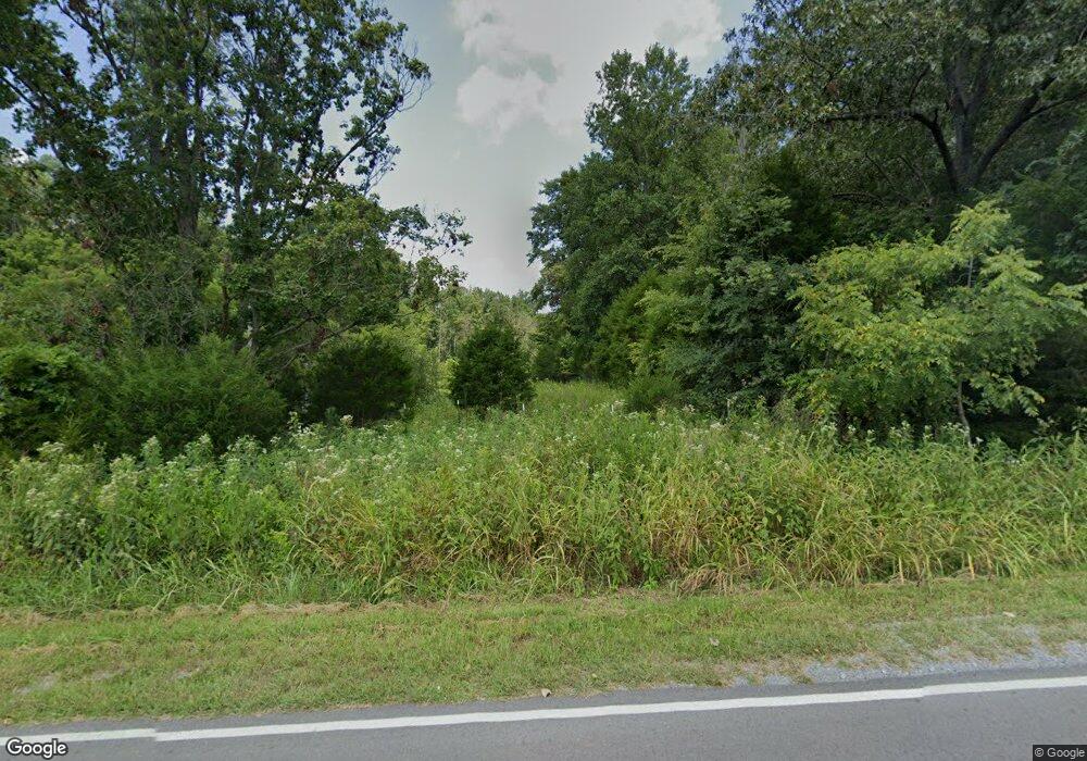
1997 Tobaccoport Rd Bumpus Mills, TN 37028
Estimated Value: $271,000
--
Bed
2
Baths
1,612
Sq Ft
$168/Sq Ft
Est. Value
About This Home
This home is located at 1997 Tobaccoport Rd, Bumpus Mills, TN 37028 and is currently estimated at $271,000, approximately $168 per square foot. 1997 Tobaccoport Rd is a home located in Stewart County with nearby schools including Dover Elementary School, Stewart County Middle School, and Stewart County High School.
Ownership History
Date
Name
Owned For
Owner Type
Purchase Details
Closed on
Jul 10, 2015
Sold by
Federal Home Loan Mortgage Corporation
Bought by
Citimortgage Inc
Current Estimated Value
Purchase Details
Closed on
Oct 31, 2005
Sold by
Not Provided
Bought by
Federal Home Loan Mortgage Corporation
Purchase Details
Closed on
Apr 28, 2005
Sold by
Not Provided
Bought by
Federal Home Loan Mortgage Corporation
Purchase Details
Closed on
Jul 15, 1987
Bought by
Cline Ralph
Purchase Details
Closed on
Jan 30, 1987
Bought by
Denny Bruce Edward
Create a Home Valuation Report for This Property
The Home Valuation Report is an in-depth analysis detailing your home's value as well as a comparison with similar homes in the area
Home Values in the Area
Average Home Value in this Area
Purchase History
| Date | Buyer | Sale Price | Title Company |
|---|---|---|---|
| Citimortgage Inc | -- | -- | |
| Federal Home Loan Mortgage Corporation | -- | -- | |
| Federal Home Loan Mortgage Corporation | -- | -- | |
| Cline Ralph | $27,500 | -- | |
| Denny Bruce Edward | -- | -- |
Source: Public Records
Tax History Compared to Growth
Tax History
| Year | Tax Paid | Tax Assessment Tax Assessment Total Assessment is a certain percentage of the fair market value that is determined by local assessors to be the total taxable value of land and additions on the property. | Land | Improvement |
|---|---|---|---|---|
| 2024 | $80 | $5,375 | $5,375 | $0 |
| 2023 | $107 | $4,550 | $4,550 | $0 |
| 2022 | $955 | $40,475 | $27,900 | $12,575 |
| 2021 | $955 | $40,475 | $27,900 | $12,575 |
| 2020 | $612 | $40,475 | $27,900 | $12,575 |
| 2019 | $612 | $24,025 | $12,875 | $11,150 |
| 2018 | $612 | $24,025 | $12,875 | $11,150 |
| 2017 | $612 | $24,025 | $12,875 | $11,150 |
| 2016 | $612 | $24,025 | $12,875 | $11,150 |
| 2015 | $593 | $24,025 | $12,875 | $11,150 |
| 2014 | $595 | $24,025 | $12,875 | $11,150 |
| 2013 | $595 | $24,104 | $0 | $0 |
Source: Public Records
Map
Nearby Homes
- 192 Diamond Point Dr
- 0 Bayview Dr Lot 160&161 Unit RTC2782305
- 1 Tobaccoport Cir
- 700 Crossroads School Rd
- 1 Forest Trail
- 1 Lakeshore Cir
- 0 Old Tobaccoport Rd Unit RTC2490211
- 14671 Old Dover Rd
- 636 Tobaccoport Rd
- 229 Bob Walker Rd
- 296 McCoy Hollow Rd
- 14396 South Rd
- 326 Hargis Rd Unit 328
- 0 Barron Dr
- 3989 Cadiz Rd
- 13425 South Rd
- 55-56 Old Tobaccoport Rd
- 393 Lake Vista Dr
- 143 Saline Trail
- 3023 Highway 120 Unit 3021
- 2001 Tobaccoport Rd
- 1898 Tobaccoport Rd
- 1932 Tobaccoport Rd
- 112 Lineport Rd
- 119 Lineport Rd
- 1856 Tobaccoport Rd
- 1891 Tobaccoport Rd
- 0 Tabacco Port Rd Unit RTC2475532
- 0 Line Port Rd
- 2118 Tobaccoport Rd
- 1 Lineport Rd
- 10 Lineport Rd
- 18 Lineport Rd
- 19 Lineport Rd
- 3 Lineport Rd
- 1803 Tobaccoport Rd
- 0 Lana Ct Unit RTC2661545
- 0 Lana Ct Unit RTC2495293
- 0 Lana Ct Unit 2216568
