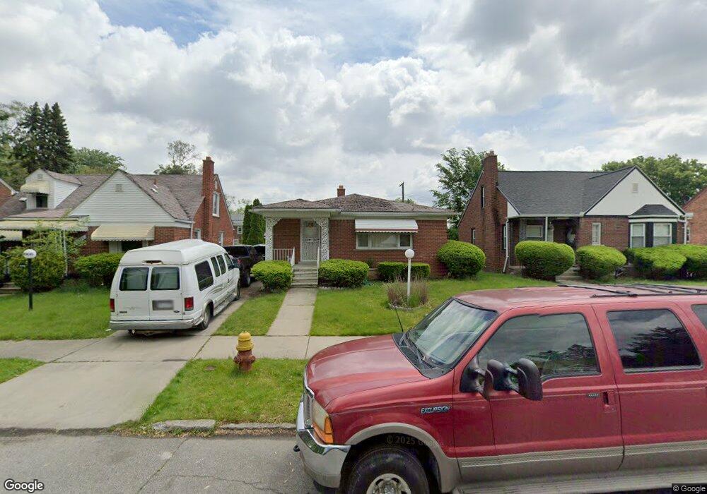
19978 Snowden St Detroit, MI 48235
Blackstone Park NeighborhoodEstimated Value: $139,000 - $201,000
--
Bed
1
Bath
1,493
Sq Ft
$111/Sq Ft
Est. Value
About This Home
This home is located at 19978 Snowden St, Detroit, MI 48235 and is currently estimated at $165,532, approximately $110 per square foot. 19978 Snowden St is a home located in Wayne County with nearby schools including Vernor Elementary School, Charles L. Spain Elementary-Middle School, and Edward 'Duke' Ellington Conservatory of Music and Art.
Ownership History
Date
Name
Owned For
Owner Type
Purchase Details
Closed on
Jun 16, 2011
Sold by
Bac Home Loans Servicing L P
Bought by
Fannie Mae
Current Estimated Value
Purchase Details
Closed on
May 26, 2011
Sold by
Dave Damon A
Bought by
Bac Home Loans Servicing L P and Countrywide Home Loans Servicing L P
Purchase Details
Closed on
Feb 23, 2004
Sold by
Harris Gertrude and Harris Arthur L
Bought by
Dave Damon A
Create a Home Valuation Report for This Property
The Home Valuation Report is an in-depth analysis detailing your home's value as well as a comparison with similar homes in the area
Home Values in the Area
Average Home Value in this Area
Purchase History
| Date | Buyer | Sale Price | Title Company |
|---|---|---|---|
| Fannie Mae | -- | None Available | |
| Bac Home Loans Servicing L P | $141,157 | None Available | |
| Dave Damon A | $153,000 | Lawyers Title Ins |
Source: Public Records
Tax History Compared to Growth
Tax History
| Year | Tax Paid | Tax Assessment Tax Assessment Total Assessment is a certain percentage of the fair market value that is determined by local assessors to be the total taxable value of land and additions on the property. | Land | Improvement |
|---|---|---|---|---|
| 2025 | $1,513 | $57,700 | $0 | $0 |
| 2024 | $1,513 | $50,900 | $0 | $0 |
| 2023 | $1,228 | $41,500 | $0 | $0 |
| 2022 | $1,613 | $39,500 | $0 | $0 |
| 2021 | $1,331 | $31,700 | $0 | $0 |
| 2020 | $1,553 | $28,900 | $0 | $0 |
| 2019 | $1,529 | $21,400 | $0 | $0 |
| 2018 | $1,293 | $17,900 | $0 | $0 |
| 2017 | $353 | $18,600 | $0 | $0 |
| 2016 | $1,557 | $21,900 | $0 | $0 |
| 2015 | $2,190 | $21,900 | $0 | $0 |
| 2013 | $3,225 | $32,248 | $0 | $0 |
| 2010 | -- | $876 | $875 | $1 |
Source: Public Records
Map
Nearby Homes
- 20124 Snowden St
- 20108 Cheyenne St
- 19909 Hartwell St
- 20129 Ward St
- 13517 Pembroke Ave
- 20167 Ward St
- 20150 Schaefer Hwy
- 19744 Snowden St
- 19744 Littlefield St
- 19925 Schaefer Hwy
- 20196 Hartwell St
- 19978 Tracey St
- 20184 Ward St
- 19721 Hartwell St
- 19719 Ward St
- 19733 Schaefer Hwy
- 20242 Ward St
- 20110 Lesure St
- 19474 Cheyenne St
- 19483 Hartwell St
- 19978 Snowden St
- 19986 Snowden St
- 19986 Snowden St
- 19968 Snowden St
- 19996 Snowden St
- 19948 Snowden St
- 19975 Littlefield St
- 19965 Littlefield St
- 19985 Littlefield St
- 20004 Snowden St
- 19946 Snowden St
- 19995 Littlefield St
- 19995 Littlefield St
- 19955 Littlefield St
- 19955 Littlefield St
- 19949 Littlefield St
- 19977 Snowden St
- 19965 Snowden St
- 19965 Snowden St
- 19939 Littlefield St