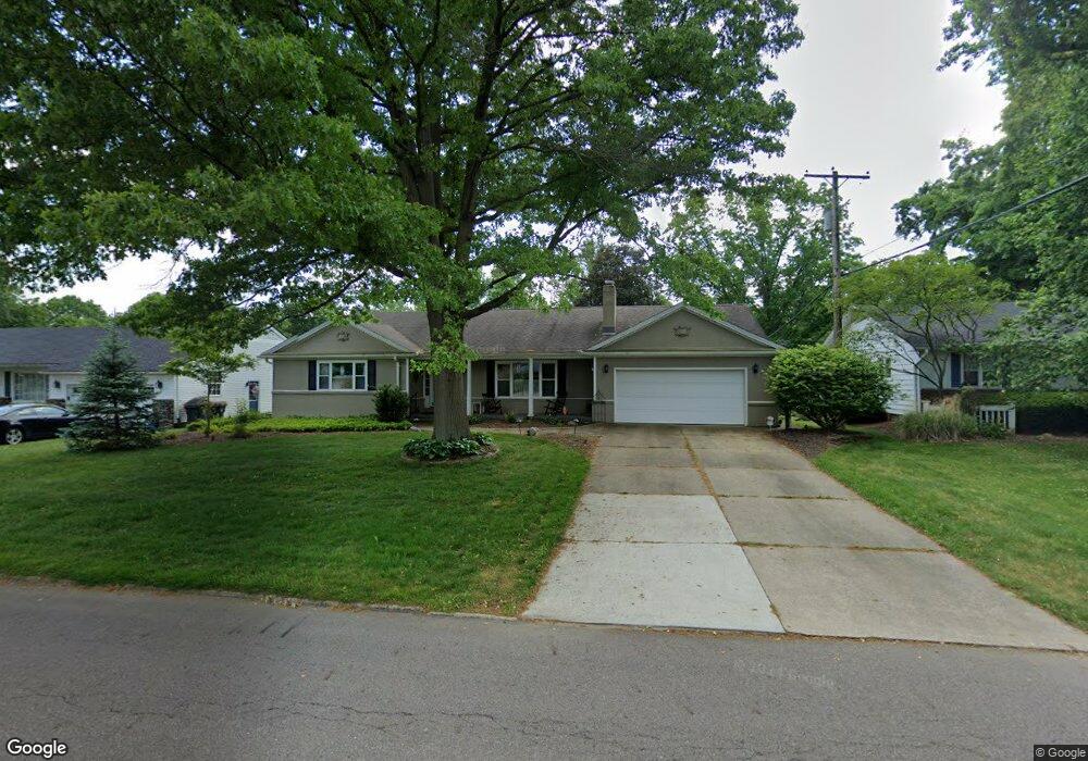
1998 Brookshire Rd Akron, OH 44313
Northwest Akron NeighborhoodEstimated Value: $167,000 - $282,000
3
Beds
3
Baths
1,990
Sq Ft
$122/Sq Ft
Est. Value
About This Home
This home is located at 1998 Brookshire Rd, Akron, OH 44313 and is currently estimated at $242,000, approximately $121 per square foot. 1998 Brookshire Rd is a home located in Summit County with nearby schools including Our Lady Of The Elms Elementary School, St. Hilary Elementary School, and The Lippman School.
Ownership History
Date
Name
Owned For
Owner Type
Purchase Details
Closed on
Feb 24, 2020
Sold by
Bowie Nancy C and Bowie Family Revocable Living
Bought by
Bowie Kevin D and The Nancy C Bowie Irrevocable
Current Estimated Value
Purchase Details
Closed on
Nov 27, 2009
Sold by
Carney William J
Bought by
Bowie Charles P and Bowie Nancy C
Home Financials for this Owner
Home Financials are based on the most recent Mortgage that was taken out on this home.
Original Mortgage
$96,600
Outstanding Balance
$63,170
Interest Rate
4.95%
Mortgage Type
Purchase Money Mortgage
Estimated Equity
$178,830
Purchase Details
Closed on
Aug 10, 1994
Sold by
Scarcliff Elizabeth M
Bought by
Carney William J and Carney Madge W
Create a Home Valuation Report for This Property
The Home Valuation Report is an in-depth analysis detailing your home's value as well as a comparison with similar homes in the area
Home Values in the Area
Average Home Value in this Area
Purchase History
| Date | Buyer | Sale Price | Title Company |
|---|---|---|---|
| Bowie Kevin D | -- | None Available | |
| Bowie Charles P | $138,000 | Wigley Title Agency Inc | |
| Carney William J | $155,000 | -- |
Source: Public Records
Mortgage History
| Date | Status | Borrower | Loan Amount |
|---|---|---|---|
| Open | Bowie Charles P | $96,600 |
Source: Public Records
Tax History Compared to Growth
Tax History
| Year | Tax Paid | Tax Assessment Tax Assessment Total Assessment is a certain percentage of the fair market value that is determined by local assessors to be the total taxable value of land and additions on the property. | Land | Improvement |
|---|---|---|---|---|
| 2025 | $381 | $6,241 | $6,241 | -- |
| 2024 | $381 | $6,241 | $6,241 | -- |
| 2021 | $372 | $4,760 | $4,760 | $0 |
| 2020 | $382 | $4,760 | $4,760 | $0 |
| 2019 | $382 | $4,530 | $4,530 | $0 |
| 2018 | $377 | $4,530 | $4,530 | $0 |
| 2017 | $383 | $4,530 | $4,530 | $0 |
| 2016 | $383 | $4,530 | $4,530 | $0 |
| 2015 | $383 | $4,530 | $4,530 | $0 |
| 2014 | $380 | $4,530 | $4,530 | $0 |
| 2013 | $373 | $4,530 | $4,530 | $0 |
Source: Public Records
Map
Nearby Homes
- 311 Goodhue Dr
- 2079 Wyndham Rd
- 2121 Brookshire Rd
- 257 Sand Run Rd
- 2033 Wiltshire Rd
- 1785 Fairlawn Knolls Dr
- 128 Overwood Rd
- 2040 Braewick Dr
- 1804-1808 Cromwell Dr
- 1830 Tanglewood Dr
- 1725 Liberty Dr Unit 1727
- 48 S Wheaton Rd
- 47 S Wheaton Rd
- 1688 Tanglewood Dr Unit 1690
- 590 N Hawkins Ave
- 736 Hampton Ridge Dr Unit 736
- 2388 Banbury Rd
- 637 Treeside Dr
- 2040 Thurmont Rd
- 881 Hampton Ridge Dr
- 1990 Brookshire Rd
- 2006 Brookshire Rd
- 370 Goodhue Dr
- 1999 Brookshire Rd
- 1991 Brookshire Rd
- 2007 Brookshire Rd
- 1997 Burlington Rd
- 390 Goodhue Dr
- 2016 Brookshire Rd
- 369 Judith Ave
- 350 Goodhue Dr
- 2003 Burlington Rd
- 1987 Burlington Rd
- 371 Goodhue Dr
- 2030 Brookshire Rd
- 1998 Wyndham Rd
- 1988 Wyndham Rd
- 2006 Wyndham Rd
- 1967 Brookshire Rd
- 355 Goodhue Dr