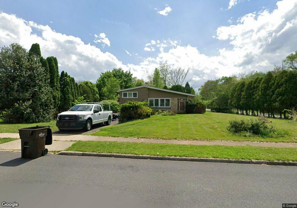
1998 Pulaski Dr Blue Bell, PA 19422
Estimated Value: $502,000 - $546,000
3
Beds
3
Baths
1,636
Sq Ft
$321/Sq Ft
Est. Value
About This Home
This home is located at 1998 Pulaski Dr, Blue Bell, PA 19422 and is currently estimated at $525,389, approximately $321 per square foot. 1998 Pulaski Dr is a home located in Montgomery County with nearby schools including Stony Creek Elementary School, Wissahickon Middle School, and Wissahickon Senior High School.
Ownership History
Date
Name
Owned For
Owner Type
Purchase Details
Closed on
Oct 24, 2003
Sold by
Kleintop Ralph F and Kleintop Shirley H
Bought by
Skilton Edward A and Skilton Lydia A
Current Estimated Value
Home Financials for this Owner
Home Financials are based on the most recent Mortgage that was taken out on this home.
Original Mortgage
$185,000
Interest Rate
6.01%
Create a Home Valuation Report for This Property
The Home Valuation Report is an in-depth analysis detailing your home's value as well as a comparison with similar homes in the area
Home Values in the Area
Average Home Value in this Area
Purchase History
| Date | Buyer | Sale Price | Title Company |
|---|---|---|---|
| Skilton Edward A | $250,000 | -- |
Source: Public Records
Mortgage History
| Date | Status | Borrower | Loan Amount |
|---|---|---|---|
| Open | Skilton Edward A | $10,000 | |
| Previous Owner | Skilton Edward A | $185,000 |
Source: Public Records
Tax History Compared to Growth
Tax History
| Year | Tax Paid | Tax Assessment Tax Assessment Total Assessment is a certain percentage of the fair market value that is determined by local assessors to be the total taxable value of land and additions on the property. | Land | Improvement |
|---|---|---|---|---|
| 2025 | $4,420 | $140,020 | $56,690 | $83,330 |
| 2024 | $4,420 | $140,020 | $56,690 | $83,330 |
| 2023 | $4,239 | $140,020 | $56,690 | $83,330 |
| 2022 | $4,093 | $140,020 | $56,690 | $83,330 |
| 2021 | $3,968 | $140,020 | $56,690 | $83,330 |
| 2020 | $3,870 | $140,020 | $56,690 | $83,330 |
| 2019 | $3,790 | $140,020 | $56,690 | $83,330 |
| 2018 | $3,790 | $140,020 | $56,690 | $83,330 |
| 2017 | $3,618 | $140,020 | $56,690 | $83,330 |
| 2016 | $3,563 | $140,020 | $56,690 | $83,330 |
| 2015 | $3,400 | $140,020 | $56,690 | $83,330 |
| 2014 | $3,400 | $140,020 | $56,690 | $83,330 |
Source: Public Records
Map
Nearby Homes
- 107 Caspian Ln
- 1674 N Wales Rd
- 1734 Hallman Dr
- 116 Brindle Ct
- 1815 LOT 1 Yost Rd
- 1698 Daws Rd
- 1673 Sylvan Dr
- 121 Stony Way
- 1783 Talbot Rd
- 1105 Whitpain Hills Unit 5
- 3117 Nottingham Rd
- 116 Norwood Ln
- 1411 Whitpain Hills
- 1510 Daws Rd
- 2564 W Skippack Pike
- 242 Brookside Rd
- 2949 Stoney Creek Rd
- 2624 Hawthorn Dr
- 1600 Potshop Rd
- 2937 Keenwood Rd
- 1986 Pulaski Dr
- 1999 Pulaski Dr
- 1985 Pulaski Dr
- 1565 Forest Creek Dr
- 1970 Pulaski Dr
- 1977 Pulaski Dr
- 1490 N Wales Rd
- 1625 N Wales Rd
- 1491 Mauck Rd
- 1585 Forest Creek Dr
- 1952 Pulaski Dr
- 1482 N Wales Rd
- 1953 Pulaski Dr
- 1483 Mauck Rd
- 1580 Forest Creek Dr
- 1494 Mauck Rd
- 1934 Pulaski Dr
- 1479 Mauck Rd
- 1474 N Wales Rd
- 1490 Mauck Rd