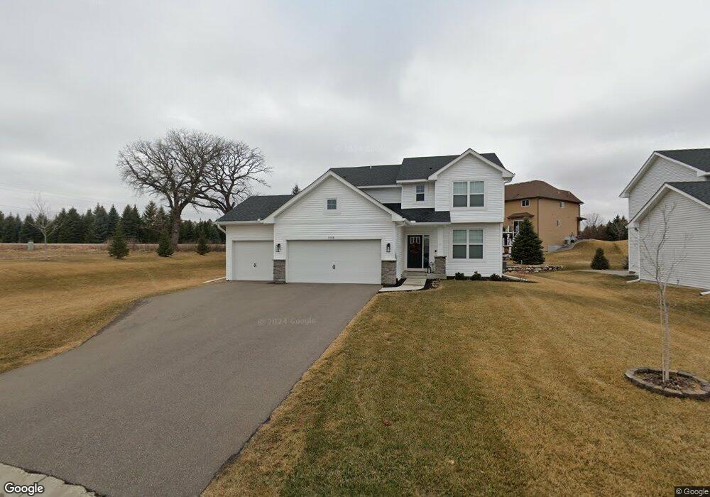
1998 Red Oak Path Shakopee, MN 55379
Shakopee AreaEstimated Value: $494,000 - $573,000
About This Home
This home is located at 1998 Red Oak Path, Shakopee, MN 55379 and is currently estimated at $546,456, approximately $254 per square foot. 1998 Red Oak Path is a home located in Scott County with nearby schools including Eagle Creek Elementary School, East Middle School, and Shakopee Senior High School.
Ownership History
We collect this data history from publicly available records. To have your information removed, we recommend requesting removal directly through your county’s website.
Purchase Details
Home Financials for this Owner
Home Financials are based on the most recent Mortgage that was taken out on this home.Purchase Details
Home Financials for this Owner
Home Financials are based on the most recent Mortgage that was taken out on this home.Home Values in the Area
Average Home Value in this Area
Purchase History
We collect this data history from publicly available records. To have your information removed, we recommend requesting removal directly through your county’s website.
| Date | Buyer | Sale Price | Title Company |
|---|---|---|---|
| $515,000 | None Listed On Document | ||
| $385,463 | None Available |
Mortgage History
We collect this data history from publicly available records. To have your information removed, we recommend requesting removal directly through your county’s website.
| Date | Status | Borrower | Loan Amount |
|---|---|---|---|
| Open | $533,540 | ||
| Previous Owner | $335,000 | ||
| Previous Owner | $335,000 |
Tax History
We collect this data history from publicly available records. To have your information removed, we recommend requesting removal directly through your county’s website.
| Year | Tax Paid | Tax Assessment Tax Assessment Total Assessment is a certain percentage of the fair market value that is determined by local assessors to be the total taxable value of land and additions on the property. | Land | Improvement |
|---|---|---|---|---|
| 2026 | $5,576 | $511,800 | $178,600 | $333,200 |
| 2025 | $5,140 | $501,400 | $178,600 | $322,800 |
| 2024 | $5,088 | $488,700 | $170,200 | $318,500 |
| 2023 | $5,122 | $476,300 | $165,200 | $311,100 |
| 2022 | $5,176 | $471,500 | $158,900 | $312,600 |
| 2021 | $4,488 | $408,600 | $131,700 | $276,900 |
| 2020 | $768 | $388,100 | $109,800 | $278,300 |
| 2019 | $1,068 | $101,800 | $101,800 | $0 |
| 2018 | $808 | $0 | $0 | $0 |
Map
- 7525 22nd Ave E
- 7577 22nd Ave E
- 1876 Foothill Trail
- 7624 22nd Ave E
- 7675 22nd Ave E
- 7698 22nd Ave E
- 7682 22nd Ave E
- 1774 Fox Run
- 1672 Windsor Dr S
- 6911 Cambridge Rd
- 1575 Windsor Dr S
- 1830 Penstemon Ln
- 7944 Stratford Cir N Unit 1301
- 1767 Fescue Ct
- 8204 Horizon Dr
- 6453 Oxford Rd N
- 7378 Windsor Dr N
- 1773 Grove Dr
- 1778 Riverside Dr
- 8595 Moraine Dr
- 1986 Red Oak Path
- 1983 Oakridge Cir
- 1974 Red Oak Path
- 1975 Oakridge Cir
- 1979 Red Oak Path
- 1987 Red Oak Path
- 1962 Red Oak Path
- 1988 Oakridge Cir
- 1967 Red Oak Path
- 1965 Oakridge Cir
- 1965 1965 Oak Ridge Cir
- 1950 Red Oak Path
- 1950 Red Oath Path
- 1948 Eagle Ridge Loop
- 1980 Oakridge Cir
- 1952 Eagle Ridge Loop
- 1944 Eagle Ridge Loop
- 1951 Oakridge Cir
- 1951 1951 Oak Ridge Cir
- 1956 Eagle Ridge Loop
Ask me questions while you tour the home.