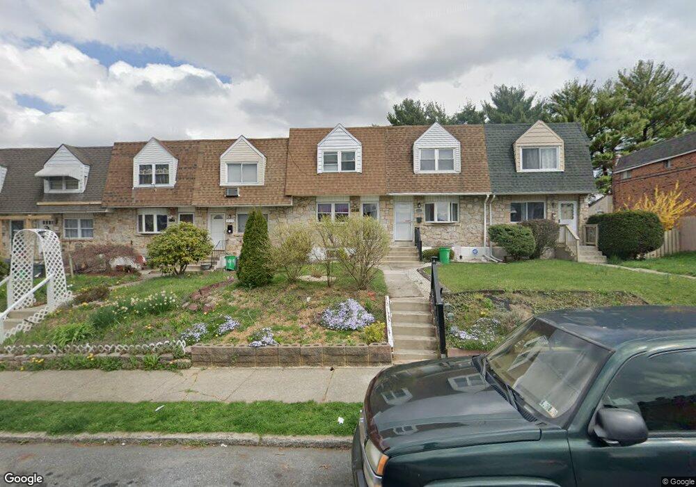
1999 Baker Dr Allentown, PA 18103
Southside NeighborhoodEstimated Value: $218,890 - $237,000
3
Beds
1
Bath
1,152
Sq Ft
$198/Sq Ft
Est. Value
About This Home
This home is located at 1999 Baker Dr, Allentown, PA 18103 and is currently estimated at $228,223, approximately $198 per square foot. 1999 Baker Dr is a home located in Lehigh County with nearby schools including Hiram W Dodd Elementary School, San Rafael Junior High School, and South Mountain Middle School.
Ownership History
Date
Name
Owned For
Owner Type
Purchase Details
Closed on
Nov 20, 2002
Sold by
Constant Mark A and Constant Jessica L
Bought by
Heaven Laurel
Current Estimated Value
Home Financials for this Owner
Home Financials are based on the most recent Mortgage that was taken out on this home.
Original Mortgage
$72,390
Outstanding Balance
$30,655
Interest Rate
6.17%
Mortgage Type
Purchase Money Mortgage
Estimated Equity
$197,568
Purchase Details
Closed on
Sep 10, 1993
Sold by
Constant Mark A and Jessica Link
Bought by
Constant Mark A and Constant Jessica L
Purchase Details
Closed on
Mar 27, 1990
Sold by
Yelovich Ned A and Czinke Kathryn L
Bought by
Constant Mark A and Jessica Link
Purchase Details
Closed on
Feb 28, 1985
Bought by
Yelovich Ned A and Czinke Kathryn L
Create a Home Valuation Report for This Property
The Home Valuation Report is an in-depth analysis detailing your home's value as well as a comparison with similar homes in the area
Home Values in the Area
Average Home Value in this Area
Purchase History
| Date | Buyer | Sale Price | Title Company |
|---|---|---|---|
| Heaven Laurel | $76,200 | -- | |
| Constant Mark A | -- | -- | |
| Constant Mark A | $75,900 | -- | |
| Yelovich Ned A | $43,000 | -- |
Source: Public Records
Mortgage History
| Date | Status | Borrower | Loan Amount |
|---|---|---|---|
| Open | Heaven Laurel | $72,390 |
Source: Public Records
Tax History Compared to Growth
Tax History
| Year | Tax Paid | Tax Assessment Tax Assessment Total Assessment is a certain percentage of the fair market value that is determined by local assessors to be the total taxable value of land and additions on the property. | Land | Improvement |
|---|---|---|---|---|
| 2025 | $3,016 | $93,100 | $7,400 | $85,700 |
| 2024 | $3,016 | $93,100 | $7,400 | $85,700 |
| 2023 | $3,016 | $93,100 | $7,400 | $85,700 |
| 2022 | $2,910 | $93,100 | $85,700 | $7,400 |
| 2021 | $2,851 | $93,100 | $7,400 | $85,700 |
| 2020 | $2,777 | $93,100 | $7,400 | $85,700 |
| 2019 | $2,731 | $93,100 | $7,400 | $85,700 |
| 2018 | $2,551 | $93,100 | $7,400 | $85,700 |
| 2017 | $2,486 | $93,100 | $7,400 | $85,700 |
| 2016 | -- | $93,100 | $7,400 | $85,700 |
| 2015 | -- | $93,100 | $7,400 | $85,700 |
| 2014 | -- | $93,100 | $7,400 | $85,700 |
Source: Public Records
Map
Nearby Homes
- 642 W Emaus Ave
- 1901 S Delaware St
- 566 W Emaus Ave
- 566 588 W Emaus Ave
- 2343 S 9th St
- 2401 S Church St
- 2413 S Church St
- 2347 S Law St Unit 2349
- 1831 S Church St
- 2416 S Alice St Unit 2418
- 2531 S Carbon St
- 1066 Devonshire Rd Unit 1068
- 206 208 W Emaus Ave
- 2157 S Poplar St
- 2449 S Howard St Unit Rear
- 2441 S 4th St
- 1852 S 2nd St
- 618 Clifford St
- 203 W Brookdale St
- 148 W Brookdale St