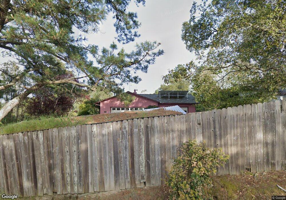
1999 Burnside Rd Sebastopol, CA 95472
Estimated Value: $1,176,000 - $1,494,000
3
Beds
2
Baths
1,545
Sq Ft
$845/Sq Ft
Est. Value
About This Home
This home is located at 1999 Burnside Rd, Sebastopol, CA 95472 and is currently estimated at $1,306,056, approximately $845 per square foot. 1999 Burnside Rd is a home located in Sonoma County with nearby schools including Apple Blossom School, Analy High School, and Twin Hills Charter Middle School.
Ownership History
Date
Name
Owned For
Owner Type
Purchase Details
Closed on
Dec 23, 2010
Sold by
Evans Gary D and Evans Janet
Bought by
Evans Gary D and Evans Janet
Current Estimated Value
Home Financials for this Owner
Home Financials are based on the most recent Mortgage that was taken out on this home.
Original Mortgage
$414,000
Outstanding Balance
$275,187
Interest Rate
4.34%
Mortgage Type
New Conventional
Estimated Equity
$1,030,869
Purchase Details
Closed on
May 25, 2004
Sold by
Gilbert John R and Gilbert Shirley Y
Bought by
Evans Gary D and Evans Janet L
Home Financials for this Owner
Home Financials are based on the most recent Mortgage that was taken out on this home.
Original Mortgage
$450,000
Interest Rate
5.86%
Mortgage Type
Purchase Money Mortgage
Purchase Details
Closed on
Oct 2, 1997
Sold by
Gilbert John R and Gilbert Shirley Y
Bought by
Gilbert John R and Gilbert Shirley Y
Create a Home Valuation Report for This Property
The Home Valuation Report is an in-depth analysis detailing your home's value as well as a comparison with similar homes in the area
Home Values in the Area
Average Home Value in this Area
Purchase History
| Date | Buyer | Sale Price | Title Company |
|---|---|---|---|
| Evans Gary D | -- | Fidelity National Title Co | |
| Evans Gary D | $650,000 | Fidelity National Title Co | |
| Gilbert John R | -- | -- |
Source: Public Records
Mortgage History
| Date | Status | Borrower | Loan Amount |
|---|---|---|---|
| Open | Evans Gary D | $414,000 | |
| Closed | Evans Gary D | $450,000 |
Source: Public Records
Tax History Compared to Growth
Tax History
| Year | Tax Paid | Tax Assessment Tax Assessment Total Assessment is a certain percentage of the fair market value that is determined by local assessors to be the total taxable value of land and additions on the property. | Land | Improvement |
|---|---|---|---|---|
| 2025 | $10,629 | $924,149 | $426,531 | $497,618 |
| 2024 | $10,629 | $906,029 | $418,168 | $487,861 |
| 2023 | $10,629 | $888,265 | $409,969 | $478,296 |
| 2022 | $10,097 | $870,849 | $401,931 | $468,918 |
| 2021 | $9,887 | $853,774 | $394,050 | $459,724 |
| 2020 | $9,916 | $845,021 | $390,010 | $455,011 |
| 2019 | $9,521 | $828,453 | $382,363 | $446,090 |
| 2018 | $9,364 | $812,210 | $374,866 | $437,344 |
| 2017 | $8,948 | $796,285 | $367,516 | $428,769 |
| 2016 | $8,366 | $741,000 | $342,000 | $399,000 |
| 2015 | $8,057 | $727,000 | $336,000 | $391,000 |
| 2014 | $7,259 | $654,000 | $302,000 | $352,000 |
Source: Public Records
Map
Nearby Homes
- 459 Gold Ridge Rd
- 2888 Lynn Rd
- 1369 Tilton Rd
- 3020 Burnside Rd
- 1281 Tilton Rd
- 10815 Falstaff Rd
- 10800 Falstaff Rd
- 189 Wagnon Rd
- 0 Bodega Hwy
- 2485 Sanders Rd
- 4005 Burnside Rd
- 1025 Laurel Ave
- 788 Ferguson Rd
- 8148 Bodega Ave
- 1850 Blucher Valley Rd
- 7739 Lynch Rd
- 200 Pleasant Hill Ave N
- 8023 Washington Ave
- 1315 Ferguson Rd
- 105 Virginia Ave Unit 3
- 2021 Burnside Rd
- 1965 Burnside Rd
- 1987 Burnside Rd
- 2077 Burnside Rd
- 1983 Burnside Rd
- 1901 Burnside Rd
- 1919 Burnside Rd
- 2011 Burnside Rd
- 1947 Burnside Rd
- 1991 Burnside Rd
- 1923 Burnside Rd
- 2039 Burnside Rd
- 2200 Burnside Rd
- 1855 Burnside Rd
- 1707 Burnside Rd
- 1691 Burnside Rd
- 1736 Burnside Rd
- 2230 Burnside Rd
- 1993 Burnside Rd
- 2205 Burnside Rd