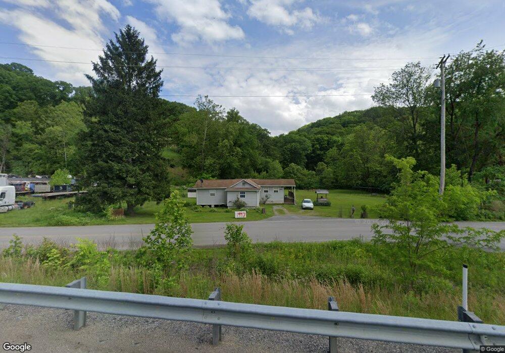
1999 Crows Run Rd Conway, PA 15027
Estimated Value: $183,000 - $265,000
3
Beds
1
Bath
1,472
Sq Ft
$152/Sq Ft
Est. Value
About This Home
This home is located at 1999 Crows Run Rd, Conway, PA 15027 and is currently estimated at $224,000, approximately $152 per square foot. 1999 Crows Run Rd is a home located in Beaver County with nearby schools including Freedom Area Elementary School, Freedom Area Middle School, and Freedom Area Senior High School.
Ownership History
Date
Name
Owned For
Owner Type
Purchase Details
Closed on
Mar 15, 2018
Sold by
Etc Northeast Pipeline Llc
Bought by
Etc Northeast Pipeline Llc
Current Estimated Value
Purchase Details
Closed on
May 13, 2017
Sold by
Staub Tina and Staub Edward
Bought by
Etc Northeast Pipeline Llc
Purchase Details
Closed on
Apr 19, 2016
Sold by
Molter Floyd and Molter Alva Mildred
Bought by
Etc Northeast Pipeline Llc
Purchase Details
Closed on
Apr 8, 2016
Sold by
Molter Floyd and Molter Alva Mildred
Bought by
Commonwealth Of Pennsylvania and Department Of Transportation
Create a Home Valuation Report for This Property
The Home Valuation Report is an in-depth analysis detailing your home's value as well as a comparison with similar homes in the area
Home Values in the Area
Average Home Value in this Area
Purchase History
| Date | Buyer | Sale Price | Title Company |
|---|---|---|---|
| Etc Northeast Pipeline Llc | $6,607 | -- | |
| Etc Northeast Pipeline Llc | $200 | None Available | |
| Etc Northeast Pipeline Llc | $174,983 | None Available | |
| Commonwealth Of Pennsylvania | -- | Attorney |
Source: Public Records
Tax History Compared to Growth
Tax History
| Year | Tax Paid | Tax Assessment Tax Assessment Total Assessment is a certain percentage of the fair market value that is determined by local assessors to be the total taxable value of land and additions on the property. | Land | Improvement |
|---|---|---|---|---|
| 2025 | $66 | $8,950 | $8,950 | -- |
| 2024 | $307 | $8,950 | $8,950 | -- |
| 2023 | $86 | $700 | $700 | $0 |
| 2022 | $84 | $700 | $700 | $0 |
| 2021 | $84 | $700 | $700 | $0 |
| 2020 | $78 | $700 | $700 | $0 |
| 2019 | $78 | $700 | $700 | $0 |
| 2018 | $75 | $700 | $700 | $0 |
| 2017 | $1,033 | $9,650 | $750 | $8,900 |
| 2016 | $942 | $9,650 | $750 | $8,900 |
| 2015 | $214 | $9,650 | $750 | $8,900 |
| 2014 | $214 | $9,650 | $750 | $8,900 |
Source: Public Records
Map
Nearby Homes
- 1997 Crows Run Rd
- 1970 Crows Run Rd
- 2001 Crows Run Rd
- 1800 Porter St
- 1760 Porter St
- 1756 Porter St
- 1804 Porter St
- 1748 Porter St
- 1808 Porter St
- 1744 Porter St
- 1740 Porter St
- 1801 Porter St
- 1745 Foote St
- 1736 Porter St
- 1812 Porter St
- 1916 Aspen Ct
- 1741 Foote St
- 1732 Porter St
- 1742 Foote St
- 1805 Porter St