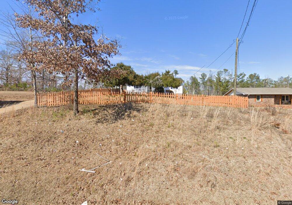
1999 E Mcintosh Rd Griffin, GA 30223
Spalding County NeighborhoodEstimated Value: $183,000 - $233,000
3
Beds
2
Baths
1,092
Sq Ft
$191/Sq Ft
Est. Value
About This Home
This home is located at 1999 E Mcintosh Rd, Griffin, GA 30223 and is currently estimated at $208,279, approximately $190 per square foot. 1999 E Mcintosh Rd is a home located in Spalding County with nearby schools including Jackson Road Elementary School, Kennedy Road Middle School, and Spalding High School.
Ownership History
Date
Name
Owned For
Owner Type
Purchase Details
Closed on
Jul 23, 2021
Sold by
Long Justin Daniel
Bought by
Long Justin Daniel and Smith Robin Marie
Current Estimated Value
Home Financials for this Owner
Home Financials are based on the most recent Mortgage that was taken out on this home.
Original Mortgage
$145,000
Outstanding Balance
$130,917
Interest Rate
3%
Mortgage Type
New Conventional
Estimated Equity
$77,362
Purchase Details
Closed on
Apr 3, 1987
Sold by
Murray G Niles
Bought by
Bryan Henry E and Bryan Doris E
Purchase Details
Closed on
Mar 28, 1985
Sold by
Mcleroy Johnny Dee
Bought by
Muray G Niles
Purchase Details
Closed on
Nov 4, 1982
Sold by
Edmondson Thelma Tarleton
Bought by
Mcleroy Johnny Dee
Create a Home Valuation Report for This Property
The Home Valuation Report is an in-depth analysis detailing your home's value as well as a comparison with similar homes in the area
Home Values in the Area
Average Home Value in this Area
Purchase History
| Date | Buyer | Sale Price | Title Company |
|---|---|---|---|
| Long Justin Daniel | -- | -- | |
| Long Justin Daniel | $160,000 | -- | |
| Bryan Henry E | $45,000 | -- | |
| Muray G Niles | $38,300 | -- | |
| Mcleroy Johnny Dee | $6,700 | -- |
Source: Public Records
Mortgage History
| Date | Status | Borrower | Loan Amount |
|---|---|---|---|
| Open | Long Justin Daniel | $145,000 | |
| Closed | Long Justin Daniel | $145,000 |
Source: Public Records
Tax History
| Year | Tax Paid | Tax Assessment Tax Assessment Total Assessment is a certain percentage of the fair market value that is determined by local assessors to be the total taxable value of land and additions on the property. | Land | Improvement |
|---|---|---|---|---|
| 2025 | $2,582 | $73,978 | $11,200 | $62,778 |
| 2024 | $2,554 | $73,978 | $11,200 | $62,778 |
| 2023 | $1,329 | $73,978 | $11,200 | $62,778 |
| 2022 | $2,105 | $59,704 | $6,840 | $52,864 |
| 2021 | $520 | $29,094 | $6,840 | $22,254 |
| 2020 | $475 | $26,622 | $6,840 | $19,782 |
| 2019 | $484 | $26,622 | $6,840 | $19,782 |
| 2018 | $422 | $24,819 | $6,840 | $17,979 |
| 2017 | $587 | $24,819 | $6,840 | $17,979 |
| 2016 | $597 | $24,819 | $6,840 | $17,979 |
| 2015 | $618 | $24,819 | $6,840 | $17,979 |
| 2014 | $629 | $24,819 | $6,840 | $17,979 |
Source: Public Records
Map
Nearby Homes
- 1806 E McIntosh Lot 11 Rd Unit LOT 11
- 1804 E McIntosh Lot 10 Rd Unit LOT 10
- 1802 E Mcintosh Rd Unit LOT 9
- 583 Hamil Rd
- 117 Woodhollow Dr
- 195 Hamil Rd
- 0 Hamil Rd Unit 6.21 AC 10578337
- 235 Cecil Jackson Rd
- 243 Hamil Rd
- 221 Hamil Rd Unit 12.5 AC
- 243 Hamil Rd Unit 13.18 AC
- 265 Hamil Rd Unit 31.89 AC
- 2524 E Mcintosh Rd
- 2775 Jackson Rd
- 1445 E Mcintosh Rd
- 2650 Jackson Rd
- 221 Little Gem Ct
- 1138 Spring Creek Cir
- 1410 Parkway Dr
- 226 English Ivy Dr
- 1756 E Mcintosh Rd
- 2009 E Mcintosh Rd
- 2019 E Mcintosh Rd
- 1989 E Mcintosh Rd
- 1979 E Mcintosh Rd
- 2023 E Mcintosh Rd
- 1992 E Mcintosh Rd
- 1949 E Mcintosh Rd
- 2010 E Mcintosh Rd
- 1980 E Mcintosh Rd
- 2027 E Mcintosh Rd
- 1962 E Mcintosh Rd
- 2035 E Mcintosh Rd
- 1950 E Mcintosh Rd
- 2034 E Mcintosh Rd
- 1938 E Mcintosh Rd
- 2046 E Mcintosh Rd
- 2053 E Mcintosh Rd
- 2054 E Mcintosh Rd
- 1792 E Mcintosh Rd Unit LOT 4