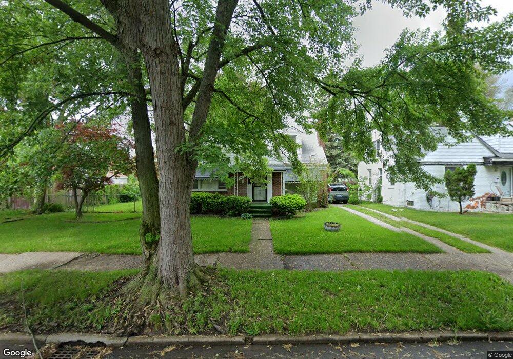
19995 Snowden St Unit Bldg-Unit Detroit, MI 48235
Blackstone Park NeighborhoodEstimated Value: $112,902 - $168,000
--
Bed
2
Baths
1,187
Sq Ft
$116/Sq Ft
Est. Value
About This Home
This home is located at 19995 Snowden St Unit Bldg-Unit, Detroit, MI 48235 and is currently estimated at $137,726, approximately $116 per square foot. 19995 Snowden St Unit Bldg-Unit is a home located in Wayne County with nearby schools including Vernor Elementary School, Charles L. Spain Elementary-Middle School, and Edward 'Duke' Ellington Conservatory of Music and Art.
Ownership History
Date
Name
Owned For
Owner Type
Purchase Details
Closed on
Feb 23, 2018
Sold by
Detroit Residentila Opprutnity Fund 1 Ll
Bought by
Collins Laquita
Current Estimated Value
Purchase Details
Closed on
Dec 5, 2011
Sold by
Nationstar Mortgage Llc
Bought by
Fannie Mae and Federal National Mortgage Association
Purchase Details
Closed on
Nov 17, 2011
Sold by
Dowell Edna
Bought by
Nationstar Mortgage Llc
Create a Home Valuation Report for This Property
The Home Valuation Report is an in-depth analysis detailing your home's value as well as a comparison with similar homes in the area
Home Values in the Area
Average Home Value in this Area
Purchase History
| Date | Buyer | Sale Price | Title Company |
|---|---|---|---|
| Collins Laquita | $66,000 | Title Connect Llc | |
| Fannie Mae | -- | None Available | |
| Nationstar Mortgage Llc | $70,318 | None Available |
Source: Public Records
Tax History Compared to Growth
Tax History
| Year | Tax Paid | Tax Assessment Tax Assessment Total Assessment is a certain percentage of the fair market value that is determined by local assessors to be the total taxable value of land and additions on the property. | Land | Improvement |
|---|---|---|---|---|
| 2025 | $1,394 | $47,900 | $0 | $0 |
| 2024 | $1,394 | $41,600 | $0 | $0 |
| 2023 | $1,352 | $34,000 | $0 | $0 |
| 2022 | $1,134 | $30,000 | $0 | $0 |
| 2021 | $1,028 | $24,200 | $0 | $0 |
| 2020 | $1,028 | $22,100 | $0 | $0 |
| 2019 | $1,013 | $16,600 | $0 | $0 |
| 2018 | $897 | $14,500 | $0 | $0 |
| 2017 | $158 | $14,900 | $0 | $0 |
| 2016 | $977 | $16,900 | $0 | $0 |
| 2015 | $826 | $16,900 | $0 | $0 |
| 2013 | $2,482 | $24,817 | $0 | $0 |
| 2010 | -- | $36,385 | $1,575 | $34,810 |
Source: Public Records
Map
Nearby Homes
- 19909 Hartwell St
- 20124 Snowden St
- 19925 Schaefer Hwy
- 19978 Tracey St
- 20150 Schaefer Hwy
- 13517 Pembroke Ave
- 20196 Hartwell St
- 20108 Cheyenne St
- 19744 Snowden St
- 20110 Lesure St
- 20129 Ward St
- 19721 Hartwell St
- 19744 Littlefield St
- 19733 Schaefer Hwy
- 20167 Ward St
- 20032 Stansbury St
- 19483 Hartwell St
- 20184 Ward St
- 19719 Ward St
- 20426 Tracey St
- 19995 Snowden St
- 19992 Hartwell St
- 19992 Hartwell St
- 20000 Hartwell St
- 20005 Snowden St
- 20008 Hartwell St
- 19984 Hartwell St
- 20015 Snowden St
- 20016 Hartwell St
- 19976 Hartwell St
- 19977 Snowden St
- 20024 Hartwell St
- 19968 Hartwell St
- 20025 Snowden St
- 19965 Snowden St
- 19965 Snowden St
- 20030 Hartwell St
- 19960 Hartwell St
- 20033 Snowden St Unit Bldg-Unit
- 20033 Snowden St