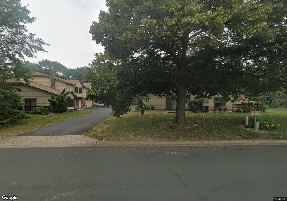
1B Shady Way Circle Pines, MN 55014
Estimated Value: $243,000 - $260,802
2
Beds
2
Baths
1,158
Sq Ft
$216/Sq Ft
Est. Value
About This Home
This home is located at 1B Shady Way, Circle Pines, MN 55014 and is currently estimated at $250,451, approximately $216 per square foot. 1B Shady Way is a home located in Anoka County with nearby schools including Blue Heron Elementary School, Centennial Middle School, and Centennial High School.
Ownership History
Date
Name
Owned For
Owner Type
Purchase Details
Closed on
May 24, 2022
Sold by
Opendoor Property Trust I
Bought by
Bjorklund Andrew and Bjorklund Elizabeth
Current Estimated Value
Home Financials for this Owner
Home Financials are based on the most recent Mortgage that was taken out on this home.
Original Mortgage
$245,000
Outstanding Balance
$231,602
Interest Rate
4.72%
Mortgage Type
New Conventional
Estimated Equity
$18,849
Purchase Details
Closed on
Jan 28, 2022
Sold by
Graf Darin and Graf Melissa
Bought by
Opendoor Property Trust I A Delaware St
Purchase Details
Closed on
Mar 9, 2004
Sold by
Johnson Deborah S
Bought by
Graf Darin and Graf Melissa
Purchase Details
Closed on
Sep 24, 2002
Sold by
Lambert Joseph D
Bought by
Johnson Deborah S
Purchase Details
Closed on
Jul 29, 1997
Sold by
Schreiber Paul J and Schreiber Carmen M
Bought by
Lambert Joseph D
Create a Home Valuation Report for This Property
The Home Valuation Report is an in-depth analysis detailing your home's value as well as a comparison with similar homes in the area
Home Values in the Area
Average Home Value in this Area
Purchase History
| Date | Buyer | Sale Price | Title Company |
|---|---|---|---|
| Bjorklund Andrew | $245,000 | -- | |
| Opendoor Property Trust I A Delaware St | $219,300 | -- | |
| Graf Darin | $158,056 | -- | |
| Johnson Deborah S | $142,900 | -- | |
| Lambert Joseph D | $83,000 | -- |
Source: Public Records
Mortgage History
| Date | Status | Borrower | Loan Amount |
|---|---|---|---|
| Open | Bjorklund Andrew | $245,000 |
Source: Public Records
Tax History Compared to Growth
Tax History
| Year | Tax Paid | Tax Assessment Tax Assessment Total Assessment is a certain percentage of the fair market value that is determined by local assessors to be the total taxable value of land and additions on the property. | Land | Improvement |
|---|---|---|---|---|
| 2025 | $2,610 | $195,700 | $55,000 | $140,700 |
| 2024 | $2,610 | $203,600 | $62,000 | $141,600 |
| 2023 | $2,063 | $197,200 | $56,400 | $140,800 |
| 2022 | $2,222 | $187,500 | $45,000 | $142,500 |
| 2021 | $2,097 | $173,100 | $38,000 | $135,100 |
| 2020 | $2,199 | $164,200 | $33,000 | $131,200 |
| 2019 | $2,258 | $163,100 | $27,100 | $136,000 |
| 2018 | $1,800 | $158,100 | $0 | $0 |
| 2017 | $1,558 | $142,600 | $0 | $0 |
| 2016 | $1,625 | $122,900 | $0 | $0 |
| 2015 | -- | $122,900 | $17,600 | $105,300 |
| 2014 | -- | $99,200 | $8,000 | $91,200 |
Source: Public Records
Map
Nearby Homes
- 3 Golden Oak Dr
- 104 South Dr
- 324 Heritage Trail
- 343 Heritage Trail
- 306 Heritage Trail
- 114 South Dr Unit D
- 253 Stardust Blvd
- 4023 Edgewood Rd NE
- 9104 Lexington Ave N
- 4185 Austin St NE
- 301 Evergreen Ln
- 3975 Lovell Rd
- Maxwell Plan at The Grove at Flowerfield - Villas Collection
- Palmer Plan at The Grove at Flowerfield - Villas Collection
- Maxwell II Plan at The Grove at Flowerfield - Villas Collection
- Cascade Plan at The Grove at Flowerfield - Villas Collection
- Smithtown Plan at The Grove at Flowerfield - Villas Collection
- 3811 Restwood Rd
- 6924 Lakeview Dr
- 8823 Fraizer St