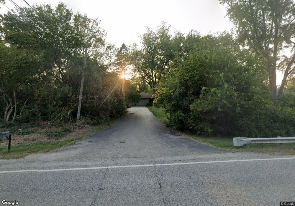
1S550 Route 53 Glen Ellyn, IL 60137
Estimated Value: $531,661 - $595,000
3
Beds
3
Baths
1,960
Sq Ft
$290/Sq Ft
Est. Value
About This Home
This home is located at 1S550 Route 53, Glen Ellyn, IL 60137 and is currently estimated at $567,665, approximately $289 per square foot. 1S550 Route 53 is a home located in DuPage County with nearby schools including Park View Elementary School, Glen Crest Middle School, and Glenbard South High School.
Ownership History
Date
Name
Owned For
Owner Type
Purchase Details
Closed on
May 5, 2017
Sold by
Ziegenmier Corey R and Ziegenmier Jennifer L
Bought by
Dunch Liam and Dunch Annie Monique
Current Estimated Value
Home Financials for this Owner
Home Financials are based on the most recent Mortgage that was taken out on this home.
Original Mortgage
$297,500
Outstanding Balance
$250,073
Interest Rate
4.5%
Mortgage Type
New Conventional
Estimated Equity
$317,592
Purchase Details
Closed on
Oct 28, 2011
Sold by
Stejskal Frank Paul
Bought by
Ziegenmier Corey R and Ziegenmier Jennifer L
Home Financials for this Owner
Home Financials are based on the most recent Mortgage that was taken out on this home.
Original Mortgage
$270,000
Interest Rate
3.97%
Mortgage Type
New Conventional
Create a Home Valuation Report for This Property
The Home Valuation Report is an in-depth analysis detailing your home's value as well as a comparison with similar homes in the area
Home Values in the Area
Average Home Value in this Area
Purchase History
| Date | Buyer | Sale Price | Title Company |
|---|---|---|---|
| Dunch Liam | $350,000 | Baird & Warner Title Service | |
| Ziegenmier Corey R | $290,000 | Attorneys Title Guaranty Fun |
Source: Public Records
Mortgage History
| Date | Status | Borrower | Loan Amount |
|---|---|---|---|
| Open | Dunch Liam | $297,500 | |
| Previous Owner | Ziegenmier Corey R | $270,000 |
Source: Public Records
Tax History Compared to Growth
Tax History
| Year | Tax Paid | Tax Assessment Tax Assessment Total Assessment is a certain percentage of the fair market value that is determined by local assessors to be the total taxable value of land and additions on the property. | Land | Improvement |
|---|---|---|---|---|
| 2024 | $9,623 | $156,495 | $31,516 | $124,979 |
| 2023 | $9,153 | $144,050 | $29,010 | $115,040 |
| 2022 | $7,234 | $115,450 | $27,420 | $88,030 |
| 2021 | $7,080 | $112,710 | $26,770 | $85,940 |
| 2020 | $7,136 | $111,660 | $26,520 | $85,140 |
| 2019 | $6,908 | $108,710 | $25,820 | $82,890 |
| 2018 | $7,742 | $118,350 | $37,450 | $80,900 |
| 2017 | $7,055 | $113,990 | $36,070 | $77,920 |
| 2016 | $6,911 | $109,440 | $34,630 | $74,810 |
| 2015 | $6,858 | $104,410 | $33,040 | $71,370 |
| 2014 | $5,762 | $87,420 | $23,830 | $63,590 |
| 2013 | $5,555 | $87,680 | $23,900 | $63,780 |
Source: Public Records
Map
Nearby Homes
- 1S526 Taylor Rd
- 1S730 Milton Ave
- 131 Harding Ct
- 129 Harding Ct
- 143 Harding Ct
- 217 S Park Blvd
- 2S165 Huntington Ct
- 21W745 Glen Valley Dr
- 832 N Driveway
- 121 S Parkside Ave
- 2S365 Milton Ave
- 1128 Hunter St
- 1151 Whitehall St
- 470 Fawell Blvd Unit 510
- 470 Fawell Blvd Unit 320
- 485 Raintree Ct Unit B
- 2S200 Valley Rd
- 450 Raintree Ct Unit 2B
- 310 Greenbriar Rd Unit 2B
- 471 Raintree Ct Unit 1D
- 1S550 Il Route 53
- 1S572 Il Route 53
- 1S572 Il Route 53
- 1S572 Illinois 53
- 1S526 Il Route 53
- 22W046 Marston Ave
- 22W060 Marston Ave
- 1S514 Illinois 53
- 273 State Route 53
- 21W774 Marston Ave
- 285 State Route 53
- 800 Marston Ave
- 1S551 Taylor Rd
- 1S535 Taylor Rd
- 311 Birchbrook Ct
- 310 Birchbrook Ct
- 1S571 Taylor Rd
- 22W071 Marston Ave
- 1S515 Taylor Rd
- 22W021 Mccormick Ave