Estimated Value: $818,277 - $1,019,000
4
Beds
3
Baths
2,108
Sq Ft
$429/Sq Ft
Est. Value
About This Home
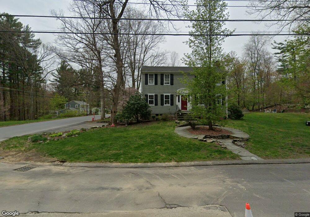
This home is located at 2 Algonquin Rd, Acton, MA 01720 and is currently estimated at $904,569, approximately $429 per square foot. 2 Algonquin Rd is a home located in Middlesex County with nearby schools including Acton-Boxborough Regional High School and Oak Meadow Montessori School.
Ownership History
Date
Name
Owned For
Owner Type
Purchase Details
Closed on
Jun 29, 2004
Sold by
Harris Joann S
Bought by
Murray James M and Murray Katrina K
Current Estimated Value
Home Financials for this Owner
Home Financials are based on the most recent Mortgage that was taken out on this home.
Original Mortgage
$378,000
Outstanding Balance
$190,077
Interest Rate
6.32%
Mortgage Type
Purchase Money Mortgage
Estimated Equity
$714,492
Create a Home Valuation Report for This Property
The Home Valuation Report is an in-depth analysis detailing your home's value as well as a comparison with similar homes in the area
Home Values in the Area
Average Home Value in this Area
Purchase History
| Date | Buyer | Sale Price | Title Company |
|---|---|---|---|
| Murray James M | $540,000 | -- |
Source: Public Records
Mortgage History
| Date | Status | Borrower | Loan Amount |
|---|---|---|---|
| Open | Murray James M | $378,000 |
Source: Public Records
Tax History
| Year | Tax Paid | Tax Assessment Tax Assessment Total Assessment is a certain percentage of the fair market value that is determined by local assessors to be the total taxable value of land and additions on the property. | Land | Improvement |
|---|---|---|---|---|
| 2025 | $12,221 | $712,600 | $315,500 | $397,100 |
| 2024 | $11,461 | $687,500 | $315,500 | $372,000 |
| 2023 | $11,163 | $635,700 | $287,000 | $348,700 |
| 2022 | $10,760 | $553,200 | $249,500 | $303,700 |
| 2021 | $10,493 | $518,700 | $230,900 | $287,800 |
| 2020 | $9,903 | $514,700 | $230,900 | $283,800 |
| 2019 | $9,443 | $487,500 | $230,900 | $256,600 |
| 2018 | $9,293 | $479,500 | $230,900 | $248,600 |
| 2017 | $9,063 | $475,500 | $230,900 | $244,600 |
| 2016 | $9,046 | $470,400 | $230,900 | $239,500 |
| 2015 | $8,862 | $465,200 | $230,900 | $234,300 |
| 2014 | $8,611 | $442,700 | $230,900 | $211,800 |
Source: Public Records
Map
Nearby Homes
- 60 Nashoba Rd
- 4 Littlefield Rd
- 5 Perkins Ln
- 79 Charter Rd
- 20 Joseph Reed Ln
- 235 Arlington St
- 631 Massachusetts Ave Unit 631
- 96 Newtown Rd
- 134 Russet Ln Unit 134
- 4 Omega Way
- 18 Hayward Rd
- 11 Braebrook
- 7 Kelley Rd
- 92 Willow St Unit 3
- 92 Willow St Unit 2
- 90 Willow St Unit 1
- 33 Meadowbrook Rd
- 46 Taylor Rd
- 184 Main St Unit 3
- 491 Main St
Your Personal Tour Guide
Ask me questions while you tour the home.