2 Armstrong Ave Methuen, MA 01844
The East End NeighborhoodEstimated Value: $491,080 - $518,000
2
Beds
1
Bath
1,312
Sq Ft
$384/Sq Ft
Est. Value
About This Home
This home is located at 2 Armstrong Ave, Methuen, MA 01844 and is currently estimated at $503,520, approximately $383 per square foot. 2 Armstrong Ave is a home located in Essex County with nearby schools including Timony Grammar School, Methuen High School, and Community Day Charter Public School - Gateway.
Ownership History
Date
Name
Owned For
Owner Type
Purchase Details
Closed on
Mar 1, 2024
Sold by
Mullarky Dana and Mullarky Pennianne
Bought by
Mullarky Ft and Mullarky
Current Estimated Value
Purchase Details
Closed on
Sep 23, 1988
Sold by
Goodwin Steven
Bought by
Mullarky Dana
Home Financials for this Owner
Home Financials are based on the most recent Mortgage that was taken out on this home.
Original Mortgage
$112,500
Interest Rate
10.51%
Mortgage Type
Purchase Money Mortgage
Create a Home Valuation Report for This Property
The Home Valuation Report is an in-depth analysis detailing your home's value as well as a comparison with similar homes in the area
Home Values in the Area
Average Home Value in this Area
Purchase History
We collect this data history from publicly available records. To have your information removed, we recommend requesting removal directly through your county’s website.
| Date | Buyer | Sale Price | Title Company |
|---|---|---|---|
| Mullarky Ft | -- | None Available | |
| Mullarky Ft | -- | None Available | |
| Mullarky Ft | -- | None Available | |
| Mullarky Dana | $125,000 | -- |
Source: Public Records
Mortgage History
We collect this data history from publicly available records. To have your information removed, we recommend requesting removal directly through your county’s website.
| Date | Status | Borrower | Loan Amount |
|---|---|---|---|
| Previous Owner | Mullarky Dana | $130,000 | |
| Previous Owner | Mullarky Dana | $113,000 | |
| Previous Owner | Mullarky Dana | $11,792 | |
| Previous Owner | Mullarky Dana | $112,500 |
Source: Public Records
Tax History
| Year | Tax Paid | Tax Assessment Tax Assessment Total Assessment is a certain percentage of the fair market value that is determined by local assessors to be the total taxable value of land and additions on the property. | Land | Improvement |
|---|---|---|---|---|
| 2025 | $4,622 | $436,900 | $214,900 | $222,000 |
| 2024 | $4,539 | $418,000 | $196,000 | $222,000 |
| 2023 | $4,310 | $368,400 | $174,200 | $194,200 |
| 2022 | $4,138 | $317,100 | $145,200 | $171,900 |
| 2021 | $3,895 | $295,300 | $137,900 | $157,400 |
| 2020 | $3,894 | $289,700 | $137,900 | $151,800 |
| 2019 | $3,643 | $256,700 | $123,400 | $133,300 |
| 2018 | $3,569 | $250,100 | $123,400 | $126,700 |
| 2017 | $3,484 | $237,800 | $123,400 | $114,400 |
| 2016 | $3,332 | $225,000 | $116,200 | $108,800 |
| 2015 | $3,237 | $221,700 | $116,200 | $105,500 |
Source: Public Records
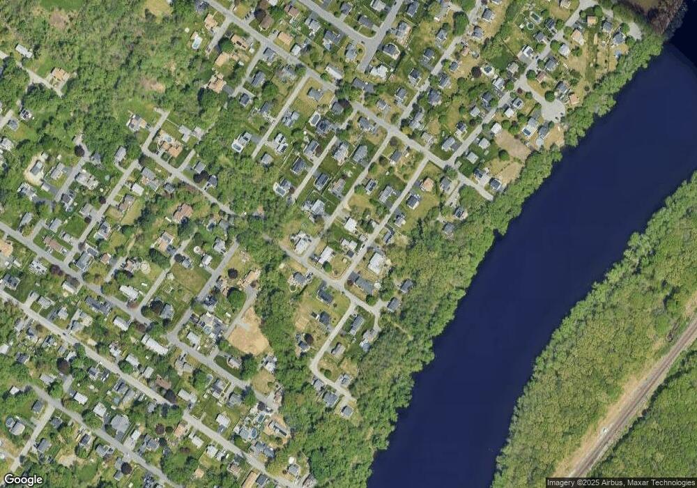
Map
Nearby Homes
- 59 Riverview Blvd
- 1 Riverview Blvd Unit 2-212
- 20 Oakhill Dr
- 90 Comet Rd
- 86 Comet Rd
- 45 Christopher Dr Unit 105
- 3 Lady Slipper Ln
- 1 Lady Slipper Ln
- 31 Dexter St
- 7 Marie St
- 6 Longview Terrace
- 43 Constitution Way
- 261 Oak St
- 179 Pleasant Valley St Unit A
- 179 Pleasant Valley St Unit F
- 123 Farrwood Dr
- 395 Merrimack St Unit 42
- 58 Oakcrest Cir
- 7 Erhardt Terrace
- 183 Farrwood Dr
- 2 Lot B Armstrong
- 15 Armstrong Ave
- 1 Lot A Armstrong
- 1 Armstrong Ave
- 20 Burrill Ave
- 11 Burrill Ave
- 100 Bradley Avenue Extension
- 10 Armstrong Ave
- 101 Bradley Avenue Extension
- 105 Bradley Ave
- 101 Bradley Ave
- 105 Bradley Avenue Extension
- 110 Bradley Avenue Extension
- 22 Armstrong Ave
- 9 Cloville Ave
- 17 Burrill Ave
- 12 Burrill Ave
- 21 Armstrong Ave
- 4 Pine Grove Ave
- 1 Girard Ave
Your Personal Tour Guide
Ask me questions while you tour the home.