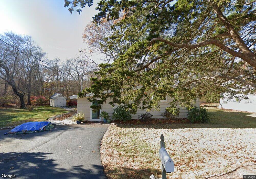
2 Atwood Dr Niantic, CT 06357
Estimated Value: $297,000 - $442,000
2
Beds
1
Bath
824
Sq Ft
$418/Sq Ft
Est. Value
About This Home
This home is located at 2 Atwood Dr, Niantic, CT 06357 and is currently estimated at $344,246, approximately $417 per square foot. 2 Atwood Dr is a home located in New London County with nearby schools including East Lyme Middle School, East Lyme High School, and The Light House Voc-Ed Center.
Ownership History
Date
Name
Owned For
Owner Type
Purchase Details
Closed on
May 13, 2010
Sold by
Est Jenks Richard and Loges Shari
Bought by
Hunter Mary Elizabeth
Current Estimated Value
Create a Home Valuation Report for This Property
The Home Valuation Report is an in-depth analysis detailing your home's value as well as a comparison with similar homes in the area
Home Values in the Area
Average Home Value in this Area
Purchase History
| Date | Buyer | Sale Price | Title Company |
|---|---|---|---|
| Hunter Mary Elizabeth | $128,900 | -- |
Source: Public Records
Mortgage History
| Date | Status | Borrower | Loan Amount |
|---|---|---|---|
| Open | Hunter Mary Elizabeth | $120,000 | |
| Closed | Hunter Mary Elizabeth | $15,000 | |
| Closed | Hunter Mary Elizabeth | $103,000 | |
| Previous Owner | Hunter Mary Elizabeth | $65,000 |
Source: Public Records
Tax History
| Year | Tax Paid | Tax Assessment Tax Assessment Total Assessment is a certain percentage of the fair market value that is determined by local assessors to be the total taxable value of land and additions on the property. | Land | Improvement |
|---|---|---|---|---|
| 2025 | $3,335 | $119,070 | $50,960 | $68,110 |
| 2024 | $3,137 | $119,070 | $50,960 | $68,110 |
| 2023 | $2,962 | $119,070 | $50,960 | $68,110 |
| 2022 | $2,839 | $119,070 | $50,960 | $68,110 |
| 2021 | $2,958 | $103,740 | $58,800 | $44,940 |
| 2020 | $2,952 | $104,090 | $58,800 | $45,290 |
| 2019 | $2,934 | $104,090 | $58,800 | $45,290 |
| 2018 | $2,847 | $104,090 | $58,800 | $45,290 |
| 2017 | $2,723 | $104,090 | $58,800 | $45,290 |
| 2016 | $2,510 | $98,980 | $54,880 | $44,100 |
| 2015 | $2,446 | $98,980 | $54,880 | $44,100 |
| 2014 | $2,378 | $98,980 | $54,880 | $44,100 |
Source: Public Records
Map
Nearby Homes
- 15 Freedom Way Unit 105
- 14 Colton Rd
- 21 Four Mile River Rd
- 12 Spinnaker Dr
- 55 Corey Ln
- 86 Corey Ln
- 9 Twin Valley Rd
- 19 Sapia Dr
- 53 Laurelwood Dr Unit 55
- 18 Twin Valley Rd
- 16 Twin Valley Rd
- 2 Riverdale Landing
- 22 Riverdale Landing
- 97 W Main St Unit 36
- 6 Slocum Dr
- 15 Sunnieside Dr
- 15 Griswold Rd
- 82 Roxbury Rd
- 80 Roxbury Rd
- 15 Short Hills Rd
Your Personal Tour Guide
Ask me questions while you tour the home.