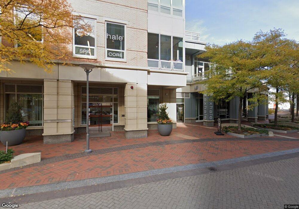
2 Battery Wharf, Unit 4411 Boston, MA 02109
North End NeighborhoodEstimated Value: $2,599,000 - $3,858,000
2
Beds
3
Baths
2,064
Sq Ft
$1,581/Sq Ft
Est. Value
About This Home
This home is located at 2 Battery Wharf Unit 4411, Boston, MA 02109 and is currently estimated at $3,262,469, approximately $1,580 per square foot. 2 Battery Wharf Unit 4411 is a home located in Suffolk County with nearby schools including St John School, Boston Children's School, and Torit Montessori School.
Ownership History
Date
Name
Owned For
Owner Type
Purchase Details
Closed on
Dec 5, 2024
Sold by
Clarke Cynthia M
Bought by
Cynthia M Clarke 2020 Ret and Clarke
Current Estimated Value
Purchase Details
Closed on
May 25, 2017
Sold by
George and George Berkowitz H
Bought by
Rbgb Llc
Purchase Details
Closed on
Apr 17, 2008
Sold by
Rbw Llc
Bought by
Berkowitz Harriet and Berkowitz George H
Home Financials for this Owner
Home Financials are based on the most recent Mortgage that was taken out on this home.
Original Mortgage
$2,314,191
Interest Rate
6.1%
Mortgage Type
Purchase Money Mortgage
Create a Home Valuation Report for This Property
The Home Valuation Report is an in-depth analysis detailing your home's value as well as a comparison with similar homes in the area
Home Values in the Area
Average Home Value in this Area
Purchase History
| Date | Buyer | Sale Price | Title Company |
|---|---|---|---|
| Cynthia M Clarke 2020 Ret | -- | None Available | |
| Cynthia M Clarke 2020 Ret | -- | None Available | |
| Rbgb Llc | -- | -- | |
| Clarke Cynthia M | $4,150,000 | -- | |
| Rbgb Llc | -- | -- | |
| Berkowitz Harriet | $3,300,000 | -- | |
| Berkowitz Harriet | $3,300,000 | -- |
Source: Public Records
Mortgage History
| Date | Status | Borrower | Loan Amount |
|---|---|---|---|
| Previous Owner | Berkowitz Harriet | $2,314,191 |
Source: Public Records
Tax History Compared to Growth
Tax History
| Year | Tax Paid | Tax Assessment Tax Assessment Total Assessment is a certain percentage of the fair market value that is determined by local assessors to be the total taxable value of land and additions on the property. | Land | Improvement |
|---|---|---|---|---|
| 2025 | $42,584 | $3,677,400 | $0 | $3,677,400 |
| 2024 | $38,754 | $3,555,400 | $0 | $3,555,400 |
| 2023 | $37,774 | $3,517,100 | $0 | $3,517,100 |
| 2022 | $38,303 | $3,520,500 | $0 | $3,520,500 |
| 2021 | $37,564 | $3,520,500 | $0 | $3,520,500 |
| 2020 | $37,176 | $3,520,500 | $0 | $3,520,500 |
| 2019 | $36,025 | $3,417,952 | $0 | $3,417,952 |
| 2018 | $34,777 | $3,318,400 | $0 | $3,318,400 |
| 2017 | $33,469 | $3,160,390 | $0 | $3,160,390 |
| 2016 | $32,797 | $2,981,500 | $0 | $2,981,500 |
| 2015 | $38,027 | $3,140,173 | $0 | $3,140,173 |
| 2014 | $35,912 | $2,854,703 | $0 | $2,854,703 |
Source: Public Records
About This Building
Map
Nearby Homes
- 4 Battery Wharf Unit 4604
- 4 Battery Wharf Unit 4302
- 4 Battery Wharf Unit 4602
- 3 Battery Wharf Unit 3309
- 2.5 Battery Wharf Unit 4302
- 50 Battery St Unit 103-4
- 386 Commercial St Unit 4E
- 343 Commercial St Unit 212
- 19 Salutation St Unit 52
- 0 Fairfield Unit 71812438
- 342-344 North St Unit 1A
- 4-6 Henchman St Unit 4-6
- 7 Unity St Unit 3
- 21 Moon St Unit 2
- 290 North St Unit 4
- 190 Salem St Unit 2
- 190 Salem St Unit 3
- 14 N Bennet St Unit 1
- 14 N Bennet St Unit 2
- 220 Commercial St Unit 5A
- 2 Battery Wharf Unit 4611
- 2 Battery Wharf Unit 4610
- 2 Battery Wharf Unit 4609
- 2 Battery Wharf Unit 4608
- 2 Battery Wharf Unit 4607
- 2 Battery Wharf Unit 4604
- 2 Battery Wharf Unit 4603
- 2 Battery Wharf Unit 4602
- 2 Battery Wharf Unit 4601
- 2 Battery Wharf Unit 4511
- 2 Battery Wharf Unit 4510
- 2 Battery Wharf Unit 4509
- 2 Battery Wharf Unit 4508
- 2 Battery Wharf Unit 4507
- 2 Battery Wharf Unit 4505
- 2 Battery Wharf Unit 4504
- 2 Battery Wharf Unit 4503
- 2 Battery Wharf Unit 4502
- 2 Battery Wharf Unit 4501
- 2 Battery Wharf Unit 4410