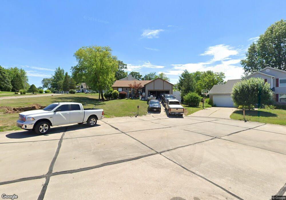
2 Birmingham Ct O Fallon, MO 63366
Estimated Value: $337,773 - $375,000
3
Beds
2
Baths
1,562
Sq Ft
$231/Sq Ft
Est. Value
About This Home
This home is located at 2 Birmingham Ct, O Fallon, MO 63366 and is currently estimated at $360,193, approximately $230 per square foot. 2 Birmingham Ct is a home located in St. Charles County with nearby schools including Joseph L. Mudd Elementary School, Forest Park Elementary School, and Fort Zumwalt North Middle School.
Ownership History
Date
Name
Owned For
Owner Type
Purchase Details
Closed on
Sep 22, 2000
Sold by
Alison N Wisnieski Michael Scott and Alison Wisnieski
Bought by
Hopkins Stephen D and Hopkins Deborah S
Current Estimated Value
Home Financials for this Owner
Home Financials are based on the most recent Mortgage that was taken out on this home.
Original Mortgage
$114,300
Outstanding Balance
$41,274
Interest Rate
7.97%
Estimated Equity
$318,919
Purchase Details
Closed on
Jun 15, 2000
Sold by
Alison N Wisnieski Michael Scott and Alison Wisnieski
Bought by
Petrullo Winifred A and Petrullo Michael R
Purchase Details
Closed on
Mar 5, 1999
Sold by
Wisnieski Michael Scott
Bought by
Wisnieski Michael Scott and Wisnieski Alison N
Home Financials for this Owner
Home Financials are based on the most recent Mortgage that was taken out on this home.
Original Mortgage
$55,000
Interest Rate
6.74%
Create a Home Valuation Report for This Property
The Home Valuation Report is an in-depth analysis detailing your home's value as well as a comparison with similar homes in the area
Home Values in the Area
Average Home Value in this Area
Purchase History
| Date | Buyer | Sale Price | Title Company |
|---|---|---|---|
| Hopkins Stephen D | $127,000 | -- | |
| Petrullo Winifred A | -- | -- | |
| Wisnieski Michael Scott | -- | -- |
Source: Public Records
Mortgage History
| Date | Status | Borrower | Loan Amount |
|---|---|---|---|
| Open | Hopkins Stephen D | $114,300 | |
| Previous Owner | Wisnieski Michael Scott | $55,000 |
Source: Public Records
Tax History
| Year | Tax Paid | Tax Assessment Tax Assessment Total Assessment is a certain percentage of the fair market value that is determined by local assessors to be the total taxable value of land and additions on the property. | Land | Improvement |
|---|---|---|---|---|
| 2025 | $3,409 | $56,131 | -- | -- |
| 2023 | $3,410 | $51,445 | $0 | $0 |
| 2022 | $3,103 | $43,530 | $0 | $0 |
| 2021 | $3,105 | $43,530 | $0 | $0 |
| 2020 | $2,889 | $39,235 | $0 | $0 |
| 2019 | $2,896 | $39,235 | $0 | $0 |
| 2018 | $2,663 | $34,426 | $0 | $0 |
| 2017 | $2,626 | $34,426 | $0 | $0 |
| 2016 | $2,411 | $31,479 | $0 | $0 |
| 2015 | $2,241 | $31,479 | $0 | $0 |
| 2014 | $2,116 | $29,218 | $0 | $0 |
Source: Public Records
Map
Nearby Homes
- 0 Montbrook Dr
- 731 Cordes St
- 38 Downing St
- 423 Woodlawn Ave
- 151 N Wellington St
- 503 Imperial Ct
- 4 Shinnecock Hills
- 6 Emerson Ct
- 11 Southern Hills Ct
- 962 Midpoint Dr
- 10 Southern Hills Ct
- 18 Plackemeier Dr
- 205 E Elm St
- 309 E Pitman St
- 127 Columbia Meadows Ln
- 116 Columbia Meadows Ln
- 136 Columbia Meadows Ln
- 5 Challenger Ct
- 1234 Pinehurst Club Ct
- 1 Columbia @ Columbia Meadows
- 353 Westridge Dr
- 4 Birmingham Ct
- 357 Westridge Dr
- 392 Westbrook Dr
- 350 Westridge Dr
- 396 Westbrook Dr
- 5 Birmingham Ct
- 386 Westbrook Dr
- 354 Westridge Dr
- 1 Birmingham Ct
- 3 Birmingham Ct
- 410 Westbrook Dr
- 401 Westridge Dr
- 342 Westridge Dr
- 364 Birmingham Dr
- 412 Westbrook Dr
- 335 Westridge Dr
- 743 Winston Place
- 372 Westbrook Dr
- 338 Westridge Dr
Your Personal Tour Guide
Ask me questions while you tour the home.