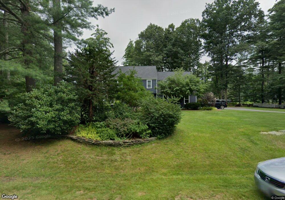
2 Bramley Hill Rd Windham, NH 03087
Estimated Value: $893,035 - $1,079,000
4
Beds
3
Baths
2,886
Sq Ft
$337/Sq Ft
Est. Value
About This Home
This home is located at 2 Bramley Hill Rd, Windham, NH 03087 and is currently estimated at $972,259, approximately $336 per square foot. 2 Bramley Hill Rd is a home located in Rockingham County with nearby schools including Golden Brook Elementary School, Windham Middle School, and Windham High School.
Ownership History
Date
Name
Owned For
Owner Type
Purchase Details
Closed on
Jul 26, 2005
Sold by
Laurie L Getchell T
Bought by
Denton Amy L and Denton Douglas A
Current Estimated Value
Home Financials for this Owner
Home Financials are based on the most recent Mortgage that was taken out on this home.
Original Mortgage
$250,000
Interest Rate
5.59%
Purchase Details
Closed on
Jul 2, 1996
Sold by
Drew Robert J and Drew Lisa A
Bought by
Johnson Brian T
Home Financials for this Owner
Home Financials are based on the most recent Mortgage that was taken out on this home.
Original Mortgage
$216,000
Interest Rate
8.05%
Create a Home Valuation Report for This Property
The Home Valuation Report is an in-depth analysis detailing your home's value as well as a comparison with similar homes in the area
Home Values in the Area
Average Home Value in this Area
Purchase History
| Date | Buyer | Sale Price | Title Company |
|---|---|---|---|
| Denton Amy L | $529,900 | -- | |
| Johnson Brian T | $270,000 | -- |
Source: Public Records
Mortgage History
| Date | Status | Borrower | Loan Amount |
|---|---|---|---|
| Open | Johnson Brian T | $220,300 | |
| Closed | Denton Amy L | $250,000 | |
| Previous Owner | Johnson Brian T | $216,000 |
Source: Public Records
Tax History Compared to Growth
Tax History
| Year | Tax Paid | Tax Assessment Tax Assessment Total Assessment is a certain percentage of the fair market value that is determined by local assessors to be the total taxable value of land and additions on the property. | Land | Improvement |
|---|---|---|---|---|
| 2024 | $12,237 | $540,500 | $193,200 | $347,300 |
| 2023 | $11,567 | $540,500 | $193,200 | $347,300 |
| 2022 | $10,672 | $540,100 | $193,200 | $346,900 |
| 2021 | $10,101 | $542,500 | $193,200 | $349,300 |
| 2020 | $10,378 | $542,500 | $193,200 | $349,300 |
| 2019 | $9,933 | $440,500 | $176,600 | $263,900 |
| 2018 | $10,259 | $440,500 | $176,600 | $263,900 |
| 2017 | $8,898 | $440,500 | $176,600 | $263,900 |
| 2016 | $9,612 | $440,500 | $176,600 | $263,900 |
| 2015 | $9,568 | $440,500 | $176,600 | $263,900 |
| 2014 | $10,001 | $416,700 | $190,000 | $226,700 |
| 2013 | $9,298 | $394,000 | $190,000 | $204,000 |
Source: Public Records
Map
Nearby Homes
- 21 Lakeshore Rd
- 219 Range Rd
- 14 Woodland Rd
- 45 Sharon Rd
- 1 Alpine Rd
- 7 Deer Run Rd
- 29 Rock Pond Rd
- 1 Squire Armour Rd
- 10 1st St
- 133 Brookdale Rd
- 2 Hall Ave
- 6 Chadwick Cir
- 108 S Shore Rd
- 24 Rolling Ridge Rd
- 54 Enterprise Dr
- 6-18 Mary Anthony Dr
- 15 Enterprise Dr
- 3 Sycamore Ave
- 64 Stacey Cir
- 28 West St