2 Brookside Dr Clinton, CT 06413
Estimated Value: $480,000 - $657,000
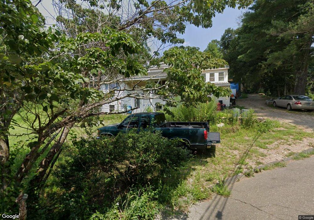
About This Home
This home is located at 2 Brookside Dr, Clinton, CT 06413 and is currently estimated at $557,959, approximately $194 per square foot. 2 Brookside Dr is a home located in Middlesex County with nearby schools including Lewin G. Joel Jr. School and The Morgan School.
Ownership History
We collect this data history from publicly available records. To have your information removed, we recommend requesting removal directly through your county’s website.
Purchase Details
Home Values in the Area
Average Home Value in this Area
Purchase History
We collect this data history from publicly available records. To have your information removed, we recommend requesting removal directly through your county’s website.
| Date | Buyer | Sale Price | Title Company |
|---|---|---|---|
| $135,000 | -- | ||
| $135,000 | -- |
Mortgage History
We collect this data history from publicly available records. To have your information removed, we recommend requesting removal directly through your county’s website.
| Date | Status | Borrower | Loan Amount |
|---|---|---|---|
| Open | $159,000 | ||
| Closed | $138,000 | ||
| Closed | $111,500 |
Tax History
We collect this data history from publicly available records. To have your information removed, we recommend requesting removal directly through your county’s website.
| Year | Tax Paid | Tax Assessment Tax Assessment Total Assessment is a certain percentage of the fair market value that is determined by local assessors to be the total taxable value of land and additions on the property. | Land | Improvement |
|---|---|---|---|---|
| 2025 | $6,854 | $220,100 | $52,400 | $167,700 |
| 2024 | $6,660 | $220,100 | $52,400 | $167,700 |
| 2023 | $6,566 | $220,100 | $52,400 | $167,700 |
| 2022 | $6,566 | $220,100 | $52,400 | $167,700 |
| 2021 | $5,569 | $186,700 | $52,400 | $134,300 |
| 2020 | $5,834 | $186,700 | $52,400 | $134,300 |
| 2019 | $5,834 | $186,700 | $52,400 | $134,300 |
| 2018 | $5,702 | $186,700 | $52,400 | $134,300 |
| 2017 | $4,866 | $162,700 | $52,400 | $110,300 |
| 2016 | $4,416 | $162,700 | $52,400 | $110,300 |
| 2015 | $4,588 | $171,400 | $60,600 | $110,800 |
| 2014 | $4,503 | $171,400 | $60,600 | $110,800 |
Map
- 166 Glenwood Rd
- 49 Kelseytown Rd
- 51 Ironworks Rd
- 55 Kelseytown Rd
- 48A Ironworks Rd
- 98 Fairy Dell Rd
- 26 Ninety Rod Rd
- 28 Rocky Ledge Dr
- 0 Fairy Dell Rd
- 48 Jefferson Cir
- 14 Oakwood Ln
- 9 Ben Merrill Rd
- 43 Evergreen Park
- 88 Ironworks Rd
- 4 Laurel Ln
- 11 Autumn Ln
- 67 Break Neck Hill Rd
- 145 Liberty St
- 40 Evergreen Park
- 63 Evergreen Park
- 55 Brickyard Rd
- 53 Brickyard Rd
- 57 Brickyard Rd
- 2A Brookside Dr
- 9 Kelseytown Rd
- 3 Brookside Dr
- 4 Brookside Dr
- 6 Brookside Dr
- 59 Brickyard Rd
- 51 Brickyard Rd
- 8 Ironworks Rd
- 5 Brookside Dr
- 49 Brickyard Rd
- 6 Ironworks Rd
- 194 Glenwood Rd
- 1 Lake Cir
- 7 Brookside Dr
- 11 Kelseytown Rd
- 29 Lochbourne Dr
- 8 Brookside Dr
Ask me questions while you tour the home.