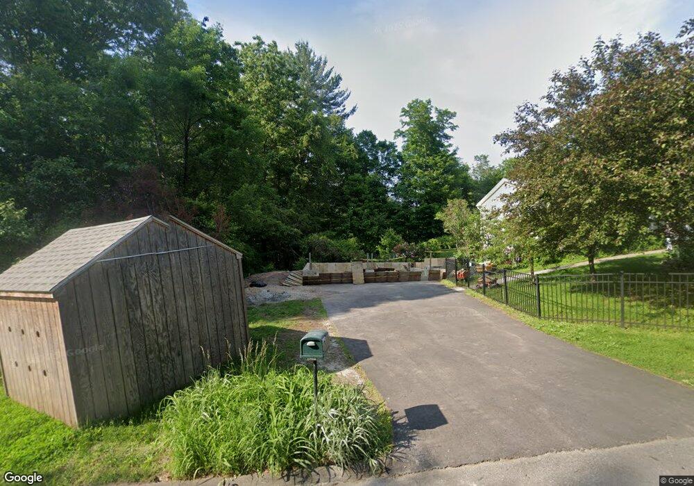
2 Buchanan Cir Southampton, MA 01073
Estimated Value: $559,000 - $616,000
3
Beds
3
Baths
2,820
Sq Ft
$206/Sq Ft
Est. Value
About This Home
This home is located at 2 Buchanan Cir, Southampton, MA 01073 and is currently estimated at $579,892, approximately $205 per square foot. 2 Buchanan Cir is a home located in Hampshire County with nearby schools including William E Norris School and White Oak School.
Ownership History
Date
Name
Owned For
Owner Type
Purchase Details
Closed on
Dec 14, 2021
Sold by
Kane Cyrstal C and Lacy Catherine A
Bought by
Kane Crystal C and Lacy Catherine A
Current Estimated Value
Purchase Details
Closed on
Sep 14, 2016
Sold by
Kane Crystal C and Kane Martin J
Bought by
Kane Crystal C and Lacy Catherine A
Purchase Details
Closed on
Mar 7, 2012
Sold by
Lacy Catherine A and Kane Crystal C
Bought by
Kane Crystal C and Kane Martin J
Home Financials for this Owner
Home Financials are based on the most recent Mortgage that was taken out on this home.
Original Mortgage
$243,750
Interest Rate
3.99%
Mortgage Type
New Conventional
Purchase Details
Closed on
Mar 19, 2008
Sold by
Brough Catherine A and Lacy Catherine A
Bought by
Lacy Catherine A and Kane Crystal Catheri
Create a Home Valuation Report for This Property
The Home Valuation Report is an in-depth analysis detailing your home's value as well as a comparison with similar homes in the area
Home Values in the Area
Average Home Value in this Area
Purchase History
| Date | Buyer | Sale Price | Title Company |
|---|---|---|---|
| Kane Crystal C | -- | None Available | |
| Kane Crystal C | -- | -- | |
| Kane Crystal C | -- | -- | |
| Lacy Catherine A | -- | -- |
Source: Public Records
Mortgage History
| Date | Status | Borrower | Loan Amount |
|---|---|---|---|
| Previous Owner | Kane Crystal C | $243,750 | |
| Previous Owner | Kane Crystal C | $243,750 | |
| Previous Owner | Kane Crystal C | $255,000 | |
| Previous Owner | Kane Crystal C | $250,000 |
Source: Public Records
Tax History
| Year | Tax Paid | Tax Assessment Tax Assessment Total Assessment is a certain percentage of the fair market value that is determined by local assessors to be the total taxable value of land and additions on the property. | Land | Improvement |
|---|---|---|---|---|
| 2025 | $6,235 | $440,000 | $116,800 | $323,200 |
| 2024 | $6,062 | $425,400 | $116,800 | $308,600 |
| 2023 | $5,653 | $394,500 | $116,800 | $277,700 |
| 2022 | $5,710 | $378,900 | $116,800 | $262,100 |
| 2021 | $5,538 | $346,800 | $107,900 | $238,900 |
| 2020 | $6,464 | $338,100 | $107,900 | $230,200 |
| 2019 | $6,366 | $319,900 | $107,900 | $212,000 |
| 2018 | $4,906 | $293,400 | $96,800 | $196,600 |
| 2017 | $4,788 | $293,400 | $96,800 | $196,600 |
| 2015 | $4,471 | $284,600 | $87,900 | $196,700 |
Source: Public Records
Map
Nearby Homes
- Lot 5 Brickyard Rd
- 119 Brickyard Rd
- Lot 5 Gil Farm Rd
- Lot 6 Gil Farm Rd
- 45 Jaeger Dr
- Lot 92-00 White Loaf Rd
- 336 Russellville Rd
- 132 North Rd
- 21 Old County Rd
- 150 Middle Rd
- 94 Pequot Rd (Rear)
- 19 Cottage Ave
- 178 Falcon Dr
- 7 1st Ave
- 16 1st Ave
- 36 County Rd
- 0 Char Dr
- 288 Buck Pond Rd
- 7 Quigley Rd
- 37 Sun Valley Rd
Your Personal Tour Guide
Ask me questions while you tour the home.