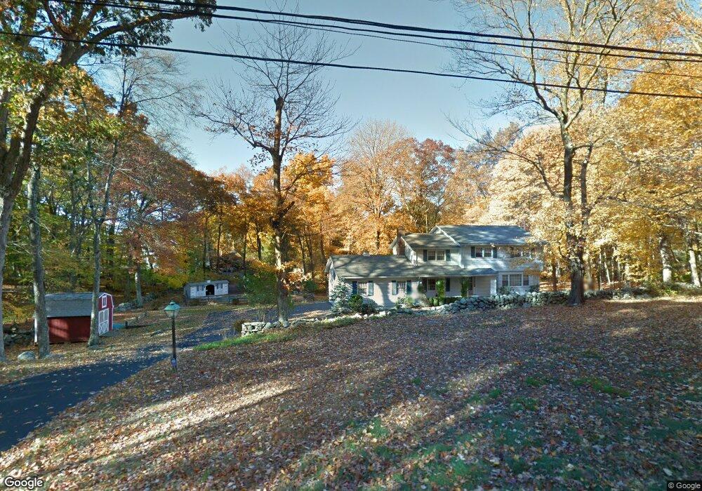
2 Butternut Ln Westport, CT 06880
Coleytown NeighborhoodEstimated Value: $1,427,863 - $1,783,000
5
Beds
3
Baths
2,390
Sq Ft
$690/Sq Ft
Est. Value
About This Home
This home is located at 2 Butternut Ln, Westport, CT 06880 and is currently estimated at $1,649,966, approximately $690 per square foot. 2 Butternut Ln is a home located in Fairfield County with nearby schools including Coleytown Elementary School, Coleytown Middle School, and Staples High School.
Ownership History
Date
Name
Owned For
Owner Type
Purchase Details
Closed on
Sep 10, 2019
Sold by
Garrity Edward L and Garrity Catherine M
Bought by
Garrity Michael E and Wright Linda G
Current Estimated Value
Purchase Details
Closed on
Jun 23, 2000
Sold by
Rb Prop
Bought by
Toole Patrick
Home Financials for this Owner
Home Financials are based on the most recent Mortgage that was taken out on this home.
Original Mortgage
$1,000,000
Interest Rate
7.12%
Create a Home Valuation Report for This Property
The Home Valuation Report is an in-depth analysis detailing your home's value as well as a comparison with similar homes in the area
Home Values in the Area
Average Home Value in this Area
Purchase History
| Date | Buyer | Sale Price | Title Company |
|---|---|---|---|
| Garrity Michael E | -- | -- | |
| Garrity Michael E | -- | -- | |
| Toole Patrick | $1,875,000 | -- | |
| Toole Patrick | $1,875,000 | -- |
Source: Public Records
Mortgage History
| Date | Status | Borrower | Loan Amount |
|---|---|---|---|
| Previous Owner | Toole Patrick | $1,000,000 |
Source: Public Records
Tax History Compared to Growth
Tax History
| Year | Tax Paid | Tax Assessment Tax Assessment Total Assessment is a certain percentage of the fair market value that is determined by local assessors to be the total taxable value of land and additions on the property. | Land | Improvement |
|---|---|---|---|---|
| 2025 | $11,852 | $628,400 | $417,300 | $211,100 |
| 2024 | $11,701 | $628,400 | $417,300 | $211,100 |
| 2023 | $11,531 | $628,400 | $417,300 | $211,100 |
| 2022 | $11,355 | $628,400 | $417,300 | $211,100 |
| 2021 | $11,355 | $628,400 | $417,300 | $211,100 |
| 2020 | $11,615 | $695,100 | $431,400 | $263,700 |
| 2019 | $11,719 | $695,100 | $431,400 | $263,700 |
| 2018 | $11,719 | $695,100 | $431,400 | $263,700 |
| 2017 | $11,719 | $695,100 | $431,400 | $263,700 |
| 2016 | $11,719 | $695,100 | $431,400 | $263,700 |
| 2015 | $11,558 | $638,900 | $379,200 | $259,700 |
| 2014 | $11,462 | $638,900 | $379,200 | $259,700 |
Source: Public Records
Map
Nearby Homes
- 9 Greenbrier Rd
- 6 Nutcracker Ln
- 24 Tupelo Rd
- 2190 Sturges Hwy
- 212 Fence Row Dr
- 14 Northfield Dr
- 88 Merry Meet Cir
- 1 Greenlea Ln
- 24 Warnock Dr
- 26 Cob Dr
- 101 Brambley Hedge Cir
- 21 Warnock Dr
- 31 White Birch Rd
- 2425 Merwins Ln
- 31 Riverfield Dr
- 18 Hunt Ln
- 17 Huckleberry Ln
- 111 Sturges Hwy
- 17 Clover Ln
- 1084 Sturges Hwy