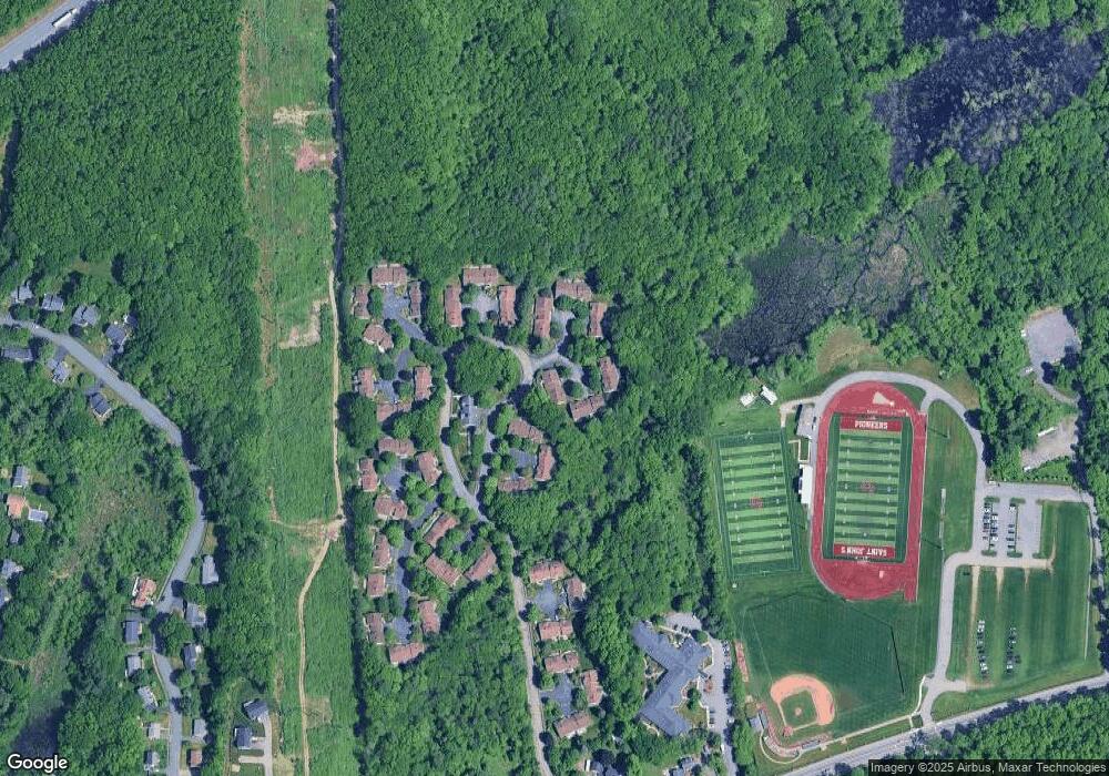
2 Cabot Dr Shrewsbury, MA 01545
Estimated Value: $503,000 - $556,000
2
Beds
2
Baths
1,298
Sq Ft
$408/Sq Ft
Est. Value
About This Home
This home is located at 2 Cabot Dr, Shrewsbury, MA 01545 and is currently estimated at $529,812, approximately $408 per square foot. 2 Cabot Dr is a home located in Worcester County with nearby schools including Walter J. Paton Elementary School, Sherwood Middle School, and Oak Middle School.
Ownership History
Date
Name
Owned For
Owner Type
Purchase Details
Closed on
Sep 17, 2013
Sold by
Bisnette Philip and Bisnette Diane R
Bought by
Bisnette Ft and Bisnette Peter J
Current Estimated Value
Purchase Details
Closed on
Aug 16, 2012
Sold by
Minnie J Savoca T and Young Nancy S
Bought by
Bisnette Philip and Bisnette Diane R
Home Financials for this Owner
Home Financials are based on the most recent Mortgage that was taken out on this home.
Original Mortgage
$80,000
Interest Rate
3.67%
Mortgage Type
New Conventional
Purchase Details
Closed on
Oct 3, 2011
Sold by
Savoca Minnie J
Bought by
Minnie J Savoca T and Savoca Minnie J
Purchase Details
Closed on
Aug 30, 2005
Sold by
Cussen Maryellen
Bought by
Savoca Minnie J
Purchase Details
Closed on
Apr 5, 1995
Sold by
Westbrook Crossing Lp
Bought by
Otoole Timothy
Create a Home Valuation Report for This Property
The Home Valuation Report is an in-depth analysis detailing your home's value as well as a comparison with similar homes in the area
Home Values in the Area
Average Home Value in this Area
Purchase History
| Date | Buyer | Sale Price | Title Company |
|---|---|---|---|
| Bisnette Ft | -- | -- | |
| Bisnette Philip | $282,500 | -- | |
| Minnie J Savoca T | -- | -- | |
| Savoca Minnie J | $370,000 | -- | |
| Otoole Timothy | $169,815 | -- |
Source: Public Records
Mortgage History
| Date | Status | Borrower | Loan Amount |
|---|---|---|---|
| Previous Owner | Bisnette Philip | $80,000 |
Source: Public Records
Tax History Compared to Growth
Tax History
| Year | Tax Paid | Tax Assessment Tax Assessment Total Assessment is a certain percentage of the fair market value that is determined by local assessors to be the total taxable value of land and additions on the property. | Land | Improvement |
|---|---|---|---|---|
| 2025 | $59 | $493,700 | $0 | $493,700 |
| 2024 | $6,024 | $486,600 | $0 | $486,600 |
| 2023 | $5,716 | $435,700 | $0 | $435,700 |
| 2022 | $4,615 | $327,100 | $0 | $327,100 |
| 2021 | $4,225 | $320,300 | $0 | $320,300 |
| 2020 | $4,177 | $335,000 | $0 | $335,000 |
| 2019 | $4,211 | $335,000 | $0 | $335,000 |
| 2018 | $3,793 | $299,600 | $0 | $299,600 |
| 2017 | $4,310 | $335,900 | $0 | $335,900 |
| 2016 | $3,827 | $294,400 | $0 | $294,400 |
| 2015 | $3,531 | $267,500 | $0 | $267,500 |
Source: Public Records
Map
Nearby Homes