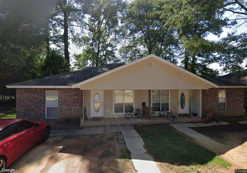
2 Cedar Ln Columbia, MS 39429
Estimated Value: $307,000 - $421,000
Studio
1
Bath
2,963
Sq Ft
$121/Sq Ft
Est. Value
About This Home
This home is located at 2 Cedar Ln, Columbia, MS 39429 and is currently estimated at $359,246, approximately $121 per square foot. 2 Cedar Ln is a home located in Marion County with nearby schools including Columbia Primary School, Columbia Elementary School, and Jefferson Middle School.
Ownership History
Date
Name
Owned For
Owner Type
Purchase Details
Closed on
Jul 22, 2021
Sold by
Jensen Peter J and Jensen Deborah
Bought by
Mcneal Leslie Vaughn and Mcneal Christina Elizabeth
Current Estimated Value
Home Financials for this Owner
Home Financials are based on the most recent Mortgage that was taken out on this home.
Original Mortgage
$209,000
Outstanding Balance
$188,076
Interest Rate
2.93%
Mortgage Type
New Conventional
Estimated Equity
$171,170
Purchase Details
Closed on
Dec 30, 2016
Sold by
Dykes Jonathan D and Dykes Amy L
Bought by
Jensen Peter J and Jensen Deborah
Home Financials for this Owner
Home Financials are based on the most recent Mortgage that was taken out on this home.
Original Mortgage
$247,000
Interest Rate
4.08%
Mortgage Type
New Conventional
Create a Home Valuation Report for This Property
The Home Valuation Report is an in-depth analysis detailing your home's value as well as a comparison with similar homes in the area
Home Values in the Area
Average Home Value in this Area
Purchase History
| Date | Buyer | Sale Price | Title Company |
|---|---|---|---|
| Mcneal Leslie Vaughn | -- | New Title Company Name | |
| Mcneal Leslie V | -- | None Available | |
| Jensen Peter J | -- | None Available |
Source: Public Records
Mortgage History
| Date | Status | Borrower | Loan Amount |
|---|---|---|---|
| Open | Mcneal Leslie V | $209,000 | |
| Closed | Mcneal Leslie V | $209,000 | |
| Previous Owner | Jensen Peter J | $247,000 |
Source: Public Records
Tax History
| Year | Tax Paid | Tax Assessment Tax Assessment Total Assessment is a certain percentage of the fair market value that is determined by local assessors to be the total taxable value of land and additions on the property. | Land | Improvement |
|---|---|---|---|---|
| 2025 | $3,704 | $25,078 | $0 | $0 |
| 2024 | $3,037 | $19,482 | $0 | $0 |
| 2023 | $3,108 | $19,896 | $0 | $0 |
| 2022 | $3,108 | $19,896 | $0 | $0 |
| 2021 | $4,411 | $30,194 | $0 | $0 |
| 2020 | $4,141 | $28,629 | $0 | $0 |
| 2019 | $4,188 | $28,629 | $0 | $0 |
| 2018 | $4,231 | $28,917 | $0 | $0 |
| 2017 | $4,249 | $29,205 | $0 | $0 |
| 2016 | $2,396 | $19,197 | $0 | $0 |
| 2015 | -- | $19,382 | $0 | $0 |
| 2014 | -- | $19,567 | $0 | $0 |
Source: Public Records
Map
Nearby Homes
- 1712 Orchard Dr
- 1620 Orchard Dr
- 1501 Ridgewood Dr
- 1114 Juniper Dr
- 1561 Sumrall Rd
- 2106 Ridgewood Dr
- 1600 Church St
- 1223 Meadowood Rd
- 1212 Meadowood Rd
- 1606 Church St
- 609 Sumrall Rd
- 1335 Broad St
- 696 White St
- 1005 Beatrice Ave
- Lot 6 Mississippi 44
- Lot 8 Mississippi 44
- Lot 3 Mississippi 44
- lot 5 Mississippi 44
- Lot 2 Mississippi 44
- Lot 7 Mississippi 44
- 2 Cedar Ln
- 1705 National Guard Rd
- 1697 National Guard Rd
- 8 Middleton Ln
- 11 Cedar Ln
- 1728 Orchard St
- 1711 National Guard Rd
- 1724 Orchard Dr
- 12 Middleton Ln
- 1716 Orchard Dr
- 1715 National Guard Rd
- 16 Middleton Ln
- 1740 Orchard Dr
- 000 Gail Ave
- 18 Middleton Ln
- 1719 Orchard Dr
- 00 Gail Ave
- 1709 National Guard Rd
- 1741 Orchard Dr
- 1705 Gail Ave
Your Personal Tour Guide
Ask me questions while you tour the home.