2 Concord Way Kennebunk, ME 04043
Estimated Value: $705,000 - $913,334
3
Beds
3
Baths
2,000
Sq Ft
$425/Sq Ft
Est. Value
About This Home
This home is located at 2 Concord Way, Kennebunk, ME 04043 and is currently estimated at $849,334, approximately $424 per square foot. 2 Concord Way is a home located in York County with nearby schools including Kennebunk High School and The New School.
Ownership History
Date
Name
Owned For
Owner Type
Purchase Details
Closed on
Sep 11, 2025
Sold by
Smith Joseph H
Bought by
Smith Ruth B
Current Estimated Value
Purchase Details
Closed on
Oct 12, 2016
Sold by
Smith Blue Hill T and Smith S
Bought by
Smith Ruth B and Smith Joseph H
Purchase Details
Closed on
Feb 6, 2006
Sold by
Eccleston Doris L Est and Beale
Bought by
Porter Land Preserv Llc
Create a Home Valuation Report for This Property
The Home Valuation Report is an in-depth analysis detailing your home's value as well as a comparison with similar homes in the area
Home Values in the Area
Average Home Value in this Area
Purchase History
| Date | Buyer | Sale Price | Title Company |
|---|---|---|---|
| Smith Ruth B | -- | -- | |
| Smith Ruth B | -- | -- | |
| Smith Ruth B | -- | -- | |
| Smith Ruth B | -- | -- | |
| Porter Land Preserv Llc | $615,000 | -- | |
| Porter Land Preserv Llc | $615,000 | -- | |
| Porter Land Preserv Llc | $615,000 | -- |
Source: Public Records
Tax History Compared to Growth
Tax History
| Year | Tax Paid | Tax Assessment Tax Assessment Total Assessment is a certain percentage of the fair market value that is determined by local assessors to be the total taxable value of land and additions on the property. | Land | Improvement |
|---|---|---|---|---|
| 2024 | $10,763 | $635,000 | $126,700 | $508,300 |
| 2023 | $10,192 | $635,000 | $126,700 | $508,300 |
| 2022 | $9,271 | $635,000 | $126,700 | $508,300 |
| 2021 | $9,049 | $635,000 | $126,700 | $508,300 |
| 2020 | $8,985 | $635,000 | $126,700 | $508,300 |
| 2019 | $8,731 | $635,000 | $126,700 | $508,300 |
| 2018 | $8,334 | $476,200 | $95,000 | $381,200 |
| 2017 | $7,881 | $476,200 | $95,000 | $381,200 |
| 2016 | $7,572 | $476,200 | $95,000 | $381,200 |
| 2015 | $7,286 | $476,200 | $95,000 | $381,200 |
| 2014 | $7,095 | $476,200 | $95,000 | $381,200 |
Source: Public Records
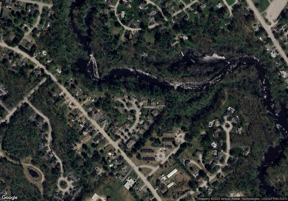
Map
Nearby Homes
- 59 Plymouth Grove Unit 11
- 15 Casey Ln
- 3 Hardwood Dr
- 3 Kensington Dr
- 61 Fletcher St
- 108 Hampton Glen Dr Unit 108
- 22 Winchester Ct
- 5 Wiggins Pond Ln
- 25 Cambridge Ct
- 16 Oakwood Ln Unit 16
- 14 Hampton Glen Dr Unit 51
- 6 Dunnhill Dr Unit 28
- 9 Hampton Glen Dr Unit 3
- 17 Hampton Glen Dr Unit 5
- 3 Nichols Ln
- 056 Cat Mousam Rd
- 23 Lilac Ln
- 9 Parsons St
- 2 Cross St
- 19 Old Alewive Rd
- 2 Concord Way Unit 15
- 4 Concord Way Unit 16
- 19 Lexington Dr Unit 14
- 19 Lexington Dr
- 4 Lexington Dr Unit 6
- 4 Lexington Dr Unit 4
- 15 Lexington Dr Unit 20
- 3 Concord Way Unit 18
- 11 Lexington Dr Unit 22
- 11 Lexington Dr
- 17 Lexington Dr Unit 19
- 12 Lexington Dr Unit 10
- 21 Lexington Dr Unit 13
- 14 Lexington Dr Unit 11
- 14 Lexington Dr Unit 14
- 16 Lexington Dr Unit 12
- 16 Lexington Dr Unit 16
- 13 Lexington Dr Unit 21
- 10 Lexington Dr Unit 9
- 6 Lexington Dr Unit 7