2 Covered Bridge Path Philadelphia, PA 19115
Bustleton NeighborhoodEstimated Value: $619,857 - $686,000
--
Bed
1
Bath
2,640
Sq Ft
$245/Sq Ft
Est. Value
About This Home
This home is located at 2 Covered Bridge Path, Philadelphia, PA 19115 and is currently estimated at $647,714, approximately $245 per square foot. 2 Covered Bridge Path is a home located in Philadelphia County with nearby schools including Frank Anne School, CCA Baldi Middle School, and George Washington High School.
Ownership History
Date
Name
Owned For
Owner Type
Purchase Details
Closed on
Mar 21, 2001
Sold by
Thomas Abraham K and Thomas Aleyamma
Bought by
John Raju P and Raju Elizabeth
Current Estimated Value
Home Financials for this Owner
Home Financials are based on the most recent Mortgage that was taken out on this home.
Original Mortgage
$164,150
Interest Rate
6.93%
Purchase Details
Closed on
May 28, 1996
Sold by
Ozeryansky Semyon and Ozeryansky Maya
Bought by
Thomas Abraham and Thomas Aleyamma
Create a Home Valuation Report for This Property
The Home Valuation Report is an in-depth analysis detailing your home's value as well as a comparison with similar homes in the area
Home Values in the Area
Average Home Value in this Area
Purchase History
| Date | Buyer | Sale Price | Title Company |
|---|---|---|---|
| John Raju P | $180,000 | -- | |
| Thomas Abraham | $156,500 | -- |
Source: Public Records
Mortgage History
| Date | Status | Borrower | Loan Amount |
|---|---|---|---|
| Closed | John Raju P | $164,150 |
Source: Public Records
Tax History Compared to Growth
Tax History
| Year | Tax Paid | Tax Assessment Tax Assessment Total Assessment is a certain percentage of the fair market value that is determined by local assessors to be the total taxable value of land and additions on the property. | Land | Improvement |
|---|---|---|---|---|
| 2025 | $6,060 | $541,800 | $108,360 | $433,440 |
| 2024 | $6,060 | $541,800 | $108,360 | $433,440 |
| 2023 | $6,060 | $432,900 | $86,500 | $346,400 |
| 2022 | $4,268 | $387,900 | $86,500 | $301,400 |
| 2021 | $4,898 | $0 | $0 | $0 |
| 2020 | $4,898 | $0 | $0 | $0 |
| 2019 | $4,689 | $0 | $0 | $0 |
| 2018 | $4,633 | $0 | $0 | $0 |
| 2017 | $4,633 | $0 | $0 | $0 |
| 2016 | $4,152 | $0 | $0 | $0 |
| 2015 | $4,033 | $0 | $0 | $0 |
| 2014 | -- | $331,000 | $107,632 | $223,368 |
| 2012 | -- | $44,736 | $7,109 | $37,627 |
Source: Public Records
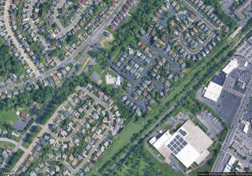
Map
Nearby Homes
- 23 Evergreen Way
- 9739 Krewstown Rd
- 1251 Serota Place
- 9703 Northeast Ave
- 9830 Walley Ave
- 1009 Twist Rd
- 1226 Norwalk Rd
- 1224 Norwalk Rd
- 1012 Twist Rd
- 9854 Clark St
- 1961 President St
- 9376 Neil Rd Unit A
- 9926 Haldeman Ave
- 9618 Hoff St
- 9837 Haldeman Ave
- 9908 00 Bustleton Ave Unit F9
- 9762 Redd Rambler Terrace
- 9839 Haldeman Ave
- 9825 Verree Rd
- 9782 Clark St
- 1 Covered Bridge Path
- 3 Covered Bridge Path
- 15 Covered Bridge Path
- 14 Covered Bridge Path
- 4 Covered Bridge Path
- 5 Covered Bridge Path
- 16 Country Lane Dr
- 25 Country Lane Way
- 26 Country Lane Way
- 22 Country Lane Way
- 6 Covered Bridge Path
- 24 Country Lane Way
- 17 Country Lane Dr
- 13 Covered Bridge Path
- 21 Country Lane Way
- 1 Country Lane Way
- 7 Covered Bridge Path
- 1509 Lott St
- 18 Country Lane Dr
- 1511 Lott St