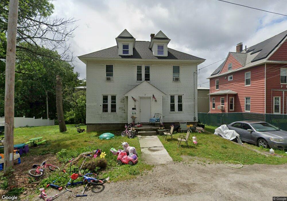
2 Crerie Ave Worcester, MA 01606
North Lincoln Street NeighborhoodEstimated Value: $450,000 - $509,102
4
Beds
2
Baths
1,848
Sq Ft
$263/Sq Ft
Est. Value
About This Home
This home is located at 2 Crerie Ave, Worcester, MA 01606 and is currently estimated at $486,776, approximately $263 per square foot. 2 Crerie Ave is a home located in Worcester County with nearby schools including Jacob Hiatt Magnet School, Chandler Magnet, and Wawecus Road School.
Ownership History
Date
Name
Owned For
Owner Type
Purchase Details
Closed on
Aug 3, 2006
Sold by
Spencer Fitzroy R
Bought by
Spencer Henit Sanchez and Spencer Fitzroy
Current Estimated Value
Purchase Details
Closed on
Oct 1, 1996
Sold by
Stankus John and Stankus Dorothy
Bought by
Spencer Fitzroy and Guzman Miguel
Home Financials for this Owner
Home Financials are based on the most recent Mortgage that was taken out on this home.
Original Mortgage
$94,000
Interest Rate
7.83%
Mortgage Type
Purchase Money Mortgage
Create a Home Valuation Report for This Property
The Home Valuation Report is an in-depth analysis detailing your home's value as well as a comparison with similar homes in the area
Home Values in the Area
Average Home Value in this Area
Purchase History
| Date | Buyer | Sale Price | Title Company |
|---|---|---|---|
| Spencer Henit Sanchez | -- | -- | |
| Spencer Fitzroy | $99,000 | -- |
Source: Public Records
Mortgage History
| Date | Status | Borrower | Loan Amount |
|---|---|---|---|
| Previous Owner | Spencer Fitzroy | $171,427 | |
| Previous Owner | Spencer Fitzroy | $156,079 | |
| Previous Owner | Spencer Fitzroy | $143,789 | |
| Previous Owner | Spencer Fitzroy | $94,000 |
Source: Public Records
Tax History
| Year | Tax Paid | Tax Assessment Tax Assessment Total Assessment is a certain percentage of the fair market value that is determined by local assessors to be the total taxable value of land and additions on the property. | Land | Improvement |
|---|---|---|---|---|
| 2025 | $6,011 | $455,700 | $118,300 | $337,400 |
| 2024 | $5,878 | $427,500 | $118,300 | $309,200 |
| 2023 | $5,656 | $394,400 | $102,900 | $291,500 |
| 2022 | $5,229 | $343,800 | $82,300 | $261,500 |
| 2021 | $3,464 | $212,800 | $65,900 | $146,900 |
| 2020 | $4,111 | $241,800 | $65,900 | $175,900 |
| 2019 | $3,955 | $219,700 | $59,300 | $160,400 |
| 2018 | $3,943 | $208,500 | $59,300 | $149,200 |
| 2017 | $3,800 | $197,700 | $59,300 | $138,400 |
| 2016 | $3,739 | $181,400 | $43,400 | $138,000 |
| 2015 | $3,641 | $181,400 | $43,400 | $138,000 |
| 2014 | $3,545 | $181,400 | $43,400 | $138,000 |
Source: Public Records
Map
Nearby Homes
- 15 Ericsson St
- 18 Gosnold St
- 44 Boardman St
- 31 Boardman St
- 15 Boardman St
- 39 Whitmarsh Ave
- 169 Whitmarsh Ave
- 30 Melrose St
- 5 Wakefield St
- 6 Roald St
- 45 Goldthwaite Rd
- 323 Burncoat St
- 331 Burncoat St
- 2 Selden St
- 20B Edgeworth St
- 23 Dryden St
- 27 Harlow St
- 10 Dryden St Unit 7
- 66 Eunice Ave
- 33 Denmark St
- 6 Crerie Ave
- 8 Crerie Ave
- 299 Barber Ave
- 0 Crerie Ave
- 7 Crerie Ave
- 8 Holt Ave
- 9 Crerie Ave
- 3 Holt Ave
- 1 Holt Ave
- 11 Bayberry Rd
- 100 Randolph Rd
- 100 Barber Ave Unit Sub-Lev
- 100 Barber Ave Unit 2G
- 100 Barber Ave Unit 1L
- 88 Randolph Rd
- 9 Bayberry Rd
- 102 Randolph Rd
- 86 Randolph Rd
- 84 Randolph Rd
- 82 Randolph Rd
Your Personal Tour Guide
Ask me questions while you tour the home.