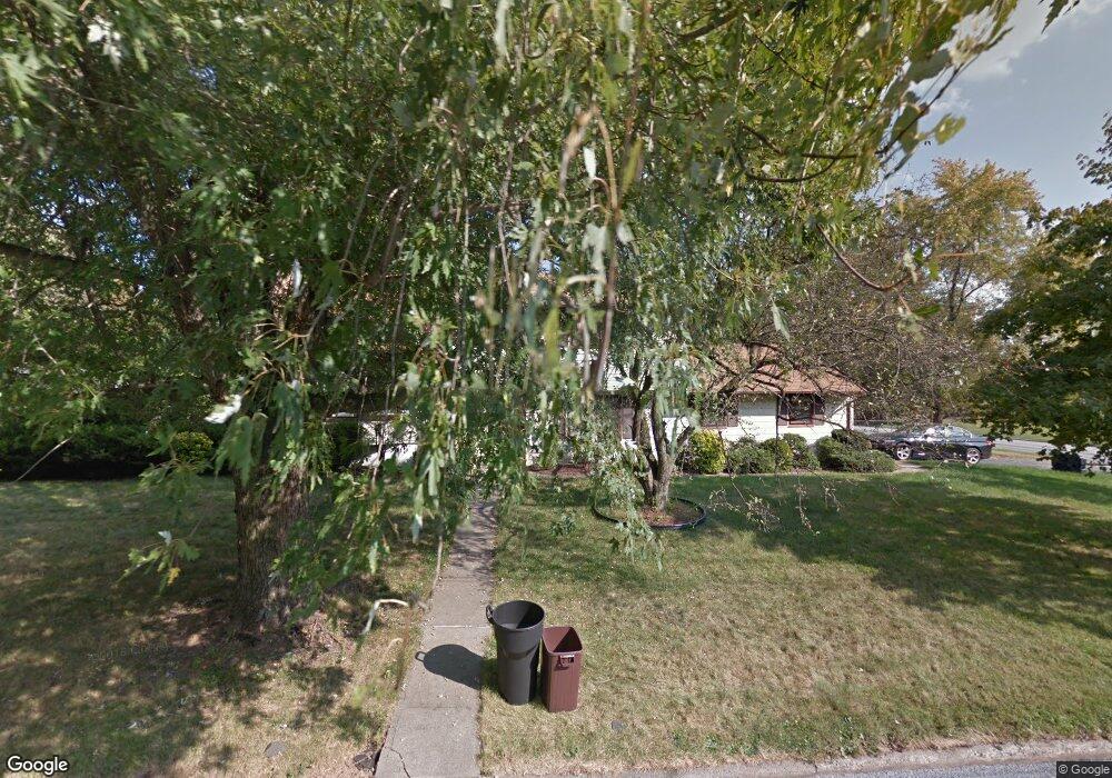
2 Crest Dr Bound Brook, NJ 08805
Estimated Value: $555,913 - $711,000
Studio
--
Bath
1,968
Sq Ft
$324/Sq Ft
Est. Value
About This Home
This home is located at 2 Crest Dr, Bound Brook, NJ 08805 and is currently estimated at $638,478, approximately $324 per square foot. 2 Crest Dr is a home located in Somerset County with nearby schools including Adamsville Primary School, Bridgewater-Raritan Middle School, and Hillside Intermediate School.
Ownership History
Date
Name
Owned For
Owner Type
Purchase Details
Closed on
Sep 8, 2005
Sold by
Fiorelli William J
Bought by
Scimone Anthony and Scimone Janet
Current Estimated Value
Home Financials for this Owner
Home Financials are based on the most recent Mortgage that was taken out on this home.
Original Mortgage
$270,000
Interest Rate
6.34%
Create a Home Valuation Report for This Property
The Home Valuation Report is an in-depth analysis detailing your home's value as well as a comparison with similar homes in the area
Home Values in the Area
Average Home Value in this Area
Purchase History
| Date | Buyer | Sale Price | Title Company |
|---|---|---|---|
| Scimone Anthony | $500,000 | -- |
Source: Public Records
Mortgage History
| Date | Status | Borrower | Loan Amount |
|---|---|---|---|
| Previous Owner | Scimone Anthony | $270,000 |
Source: Public Records
Tax History
| Year | Tax Paid | Tax Assessment Tax Assessment Total Assessment is a certain percentage of the fair market value that is determined by local assessors to be the total taxable value of land and additions on the property. | Land | Improvement |
|---|---|---|---|---|
| 2025 | $8,868 | $472,700 | $222,200 | $250,500 |
| 2024 | $8,868 | $449,900 | $222,200 | $227,700 |
Source: Public Records
Map
Nearby Homes
- 617 Vosseller Ave
- 22 Glen Rd
- 606 Vosseller Ave
- 428 Helfin St
- 561 Marion St
- 309 Stratford Place Unit 309
- 514 Longwood Ave
- 265 Metape Cir S
- 650 Central Ave
- 126 W High St
- 306 Church St
- 162 Linden Ave
- 589 Mountain Ave
- 328 John St
- 432 Talmage Ave
- 17 Talmage Ave
- 261 W Main St
- 811 Mountain Ave
- 730 Park Ave
- 315 East St
Your Personal Tour Guide
Ask me questions while you tour the home.