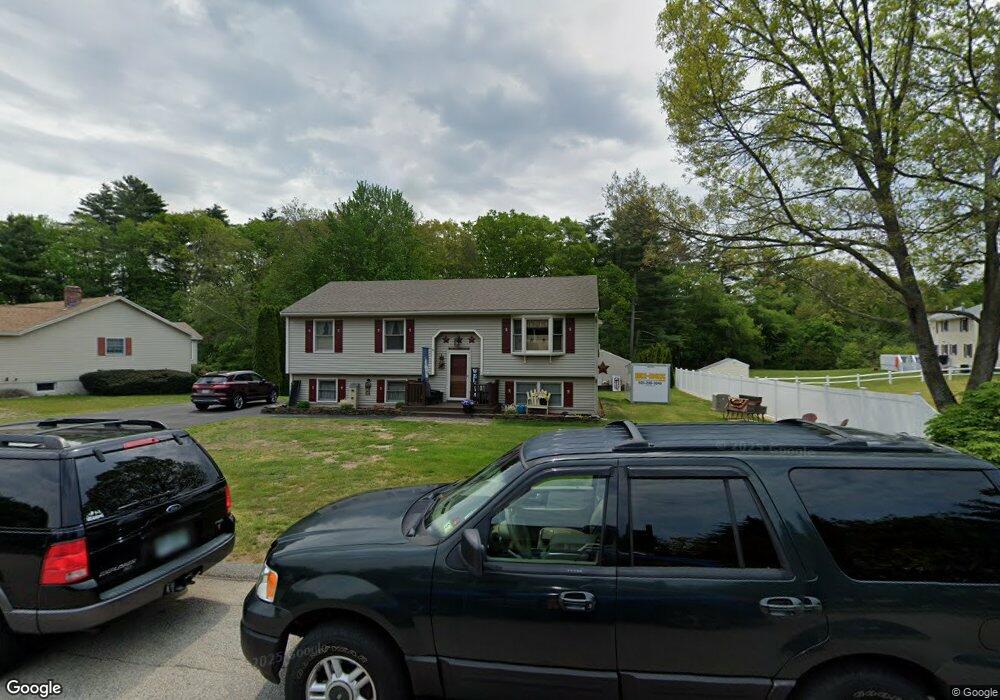
2 Doherty Ln Rollinsford, NH 03869
Estimated Value: $507,000 - $545,000
3
Beds
1
Bath
2,175
Sq Ft
$242/Sq Ft
Est. Value
About This Home
This home is located at 2 Doherty Ln, Rollinsford, NH 03869 and is currently estimated at $525,665, approximately $241 per square foot. 2 Doherty Ln is a home located in Strafford County with nearby schools including Rollinsford Grade School, Berwick Academy, and My School.
Create a Home Valuation Report for This Property
The Home Valuation Report is an in-depth analysis detailing your home's value as well as a comparison with similar homes in the area
Home Values in the Area
Average Home Value in this Area
Tax History Compared to Growth
Tax History
| Year | Tax Paid | Tax Assessment Tax Assessment Total Assessment is a certain percentage of the fair market value that is determined by local assessors to be the total taxable value of land and additions on the property. | Land | Improvement |
|---|---|---|---|---|
| 2024 | $7,201 | $438,800 | $182,000 | $256,800 |
| 2023 | $6,749 | $438,800 | $182,000 | $256,800 |
| 2022 | $6,525 | $438,800 | $182,000 | $256,800 |
| 2021 | $6,807 | $279,200 | $108,100 | $171,100 |
| 2020 | $6,891 | $279,200 | $108,100 | $171,100 |
| 2019 | $6,313 | $279,200 | $108,100 | $171,100 |
| 2018 | $6,486 | $268,700 | $108,100 | $160,600 |
| 2016 | $6,119 | $218,700 | $66,800 | $151,900 |
| 2015 | $5,999 | $218,700 | $66,800 | $151,900 |
| 2014 | $5,796 | $218,700 | $66,800 | $151,900 |
| 2013 | $5,879 | $218,700 | $66,800 | $151,900 |
Source: Public Records
Map
Nearby Homes
- 4 Doherty Ln
- 477 Stockdale Cir
- 473 Stockdale Cir
- 485 Stockdale Cir
- 1 Doherty Ln
- 6 Doherty Ln
- 3 Doherty Ln
- 480 Stockdale Cir
- 489 Stockdale Cir
- 5 Doherty Ln
- 474 Stockdale Cir
- 469 Stockdale Cir
- 484 Stockdale Cir
- 7 Doherty Ln
- 18 Partridge Ln
- 493 Stockdale Cir
- 12 Partridge Ln
- 488 Stockdale Cir
- 483 Prospect St
- 463 Stockdale Cir