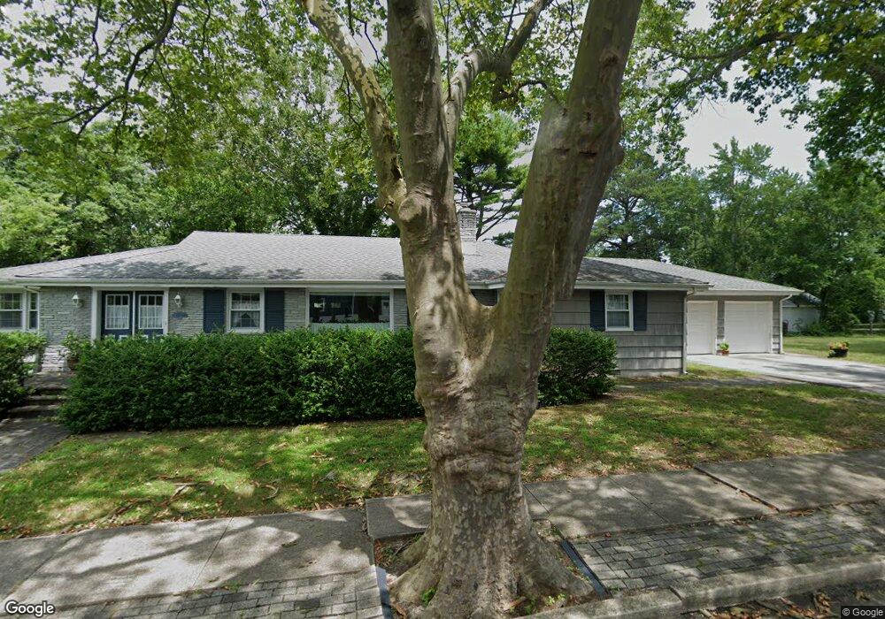
2 E Glenside (Lot) Ave Linwood, NJ 08221
Estimated Value: $411,000 - $519,000
--
Bed
--
Bath
2,039
Sq Ft
$231/Sq Ft
Est. Value
About This Home
This home is located at 2 E Glenside (Lot) Ave, Linwood, NJ 08221 and is currently estimated at $471,842, approximately $231 per square foot. 2 E Glenside (Lot) Ave is a home located in Atlantic County with nearby schools including Seaview Elementary School, Belhaven Middle School, and Mainland Regional High School.
Ownership History
Date
Name
Owned For
Owner Type
Purchase Details
Closed on
Jul 2, 2021
Sold by
Peled Steven
Bought by
Klaszky Joseph and Davis Alyssa T
Current Estimated Value
Home Financials for this Owner
Home Financials are based on the most recent Mortgage that was taken out on this home.
Original Mortgage
$200,000
Outstanding Balance
$181,469
Interest Rate
2.9%
Mortgage Type
New Conventional
Estimated Equity
$290,373
Purchase Details
Closed on
May 19, 1992
Sold by
Gelberg Daniel
Bought by
Peled Steven
Create a Home Valuation Report for This Property
The Home Valuation Report is an in-depth analysis detailing your home's value as well as a comparison with similar homes in the area
Home Values in the Area
Average Home Value in this Area
Purchase History
| Date | Buyer | Sale Price | Title Company |
|---|---|---|---|
| Klaszky Joseph | $250,000 | The Title Company Of Jersey | |
| Peled Steven | $120,000 | -- |
Source: Public Records
Mortgage History
| Date | Status | Borrower | Loan Amount |
|---|---|---|---|
| Open | Klaszky Joseph | $200,000 |
Source: Public Records
Tax History Compared to Growth
Tax History
| Year | Tax Paid | Tax Assessment Tax Assessment Total Assessment is a certain percentage of the fair market value that is determined by local assessors to be the total taxable value of land and additions on the property. | Land | Improvement |
|---|---|---|---|---|
| 2025 | $9,049 | $237,200 | $161,600 | $75,600 |
| 2024 | $9,049 | $237,200 | $161,600 | $75,600 |
| 2023 | $8,629 | $237,200 | $161,600 | $75,600 |
| 2022 | $8,629 | $237,200 | $161,600 | $75,600 |
| 2021 | $7,414 | $205,600 | $130,000 | $75,600 |
| 2020 | $6,988 | $196,500 | $120,900 | $75,600 |
| 2019 | $6,838 | $196,500 | $120,900 | $75,600 |
| 2018 | $6,685 | $196,500 | $120,900 | $75,600 |
| 2017 | $6,551 | $196,500 | $120,900 | $75,600 |
| 2016 | $6,331 | $196,500 | $120,900 | $75,600 |
| 2015 | $7,698 | $238,700 | $120,900 | $117,800 |
| 2014 | $7,434 | $335,000 | $120,900 | $214,100 |
Source: Public Records
Map
Nearby Homes
- 1201 Woodlynne Blvd
- 1050 Shore Rd
- 105 W Edgewood Ave
- 7 Woodstock Dr
- 803 Shore Rd
- 209 Berkshire Ave
- 104 W Poplar Ave
- 110 W Poplar Ave
- 208 Balfour Ave
- 102 Morris Ave
- 110 E Patcong Ave
- 103 E Patcong Ave
- 901 Oak Ave
- 1610 Shore Rd
- 1011 New Rd
- 1610 Woodlynne Blvd
- 108 Holly Ln
- 1016 Richard Dr
- 4 Princeton Ln
- 214 Belhaven Ave
- 4 Glenside Ave
- 2 Glenside Ave
- 3 E Monroe Ave
- 6 Glenside Ave
- 1145 Woodlynne Blvd
- 5 E Monroe Ave
- 1202 Shore Rd
- 1 E Monroe Ave
- 1210 Shore Rd
- 9 Glenside Ave
- 2 E Monroe Ave
- 6 E Monroe Ave
- 1212 Shore Rd
- 1211 Woodlynne Blvd
- 6 E Essex Ave
- 1123 Shore Rd
- 1107 Woodlynne Blvd
- 110 Glenside Ave
- 1104 Shore Rd
- 1117 Shore Rd