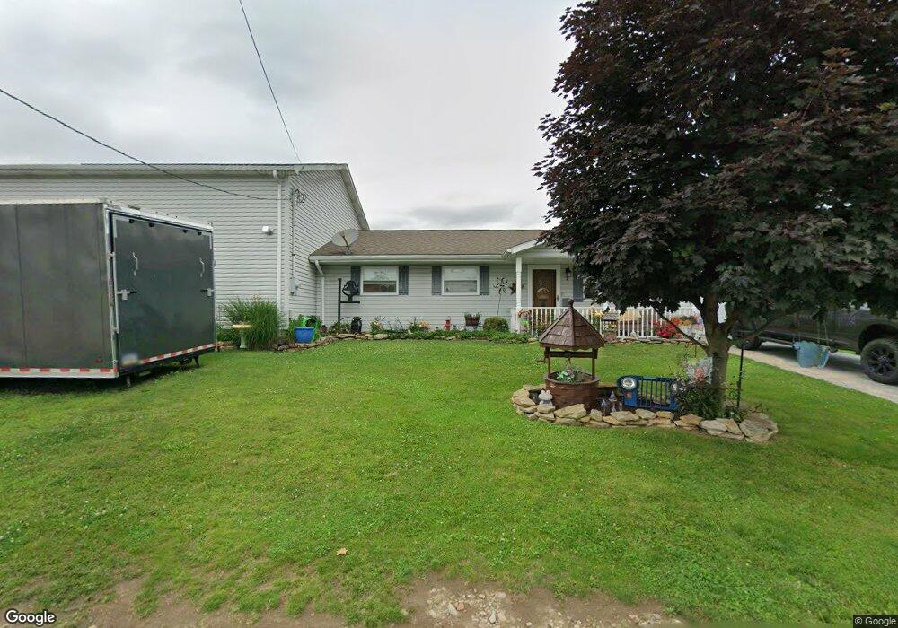
2 Eleanor Dr Latrobe, PA 15650
Estimated Value: $81,354 - $195,000
--
Bed
--
Bath
999
Sq Ft
$146/Sq Ft
Est. Value
About This Home
This home is located at 2 Eleanor Dr, Latrobe, PA 15650 and is currently estimated at $146,339, approximately $146 per square foot. 2 Eleanor Dr is a home located in Westmoreland County with nearby schools including Greater Latrobe Junior High School, Greater Latrobe Senior High School, and Christ the Divine Teacher School.
Ownership History
Date
Name
Owned For
Owner Type
Purchase Details
Closed on
Jun 26, 2023
Sold by
Quakenbush Brenda A
Bought by
Quakenbush Brenda A and Mills Victorio
Current Estimated Value
Purchase Details
Closed on
Dec 9, 2002
Sold by
Leonard Clark R and Leonard Virginia A
Bought by
Quakenbush Brenda A
Create a Home Valuation Report for This Property
The Home Valuation Report is an in-depth analysis detailing your home's value as well as a comparison with similar homes in the area
Home Values in the Area
Average Home Value in this Area
Purchase History
| Date | Buyer | Sale Price | Title Company |
|---|---|---|---|
| Quakenbush Brenda A | -- | None Listed On Document | |
| Quakenbush Brenda A | -- | -- |
Source: Public Records
Tax History Compared to Growth
Tax History
| Year | Tax Paid | Tax Assessment Tax Assessment Total Assessment is a certain percentage of the fair market value that is determined by local assessors to be the total taxable value of land and additions on the property. | Land | Improvement |
|---|---|---|---|---|
| 2025 | $2,246 | $16,280 | $2,950 | $13,330 |
| 2024 | $2,246 | $16,280 | $2,950 | $13,330 |
| 2023 | $2,084 | $16,280 | $2,950 | $13,330 |
| 2022 | $2,084 | $16,280 | $2,950 | $13,330 |
| 2021 | $2,067 | $16,280 | $2,950 | $13,330 |
| 2020 | $2,039 | $16,280 | $2,950 | $13,330 |
| 2019 | $2,014 | $16,280 | $2,950 | $13,330 |
| 2018 | $2,006 | $16,280 | $2,950 | $13,330 |
| 2017 | $1,978 | $16,280 | $2,950 | $13,330 |
| 2016 | $1,962 | $16,280 | $2,950 | $13,330 |
| 2015 | $1,962 | $16,280 | $2,950 | $13,330 |
| 2014 | $1,945 | $16,280 | $2,950 | $13,330 |
Source: Public Records
Map
Nearby Homes
- 14 Easy St
- 145 Easy St
- 139 Ice House Rd
- 1306 Roger Drive Lot 54 B
- 570 Unity St
- 54 Garfield Rd
- 433 Lloyd Ave
- 308 Loyalhanna Ave
- 17 Braddock Dr
- 211 Lloyd Ave
- 111 Loyalhanna Ave
- 104 Miller St
- 120 Miller St
- 201 Thompson St
- 135 Cramer Rd
- 213 Chestnut St
- 29 E 2nd Ave
- 340 Weldon St
- 905 Terrace Dr
- 1608 Jefferson St