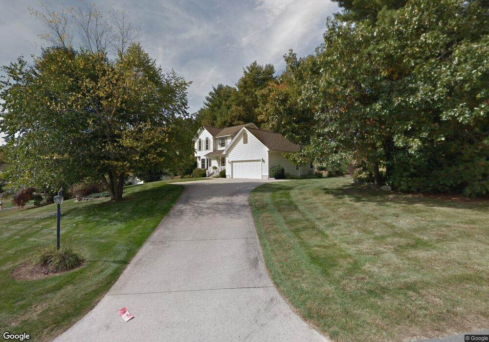
2 Fieldstone Dr Palmer, MA 01069
Estimated Value: $487,000 - $592,000
3
Beds
3
Baths
1,845
Sq Ft
$291/Sq Ft
Est. Value
About This Home
This home is located at 2 Fieldstone Dr, Palmer, MA 01069 and is currently estimated at $537,345, approximately $291 per square foot. 2 Fieldstone Dr is a home located in Hampden County with nearby schools including Old Mill Pond Elementary School, Converse Middle School, and Palmer High School.
Ownership History
Date
Name
Owned For
Owner Type
Purchase Details
Closed on
Jun 26, 2002
Sold by
Prudential Res Svcs Lp
Bought by
Manning Stephen R and Manning Gail C
Current Estimated Value
Home Financials for this Owner
Home Financials are based on the most recent Mortgage that was taken out on this home.
Original Mortgage
$212,850
Outstanding Balance
$91,574
Interest Rate
6.92%
Mortgage Type
Purchase Money Mortgage
Estimated Equity
$445,771
Purchase Details
Closed on
Aug 2, 2001
Sold by
Silva David H and Silva Thomas D
Bought by
Budnick Patricia M and Budnick Anthony
Home Financials for this Owner
Home Financials are based on the most recent Mortgage that was taken out on this home.
Original Mortgage
$16,130
Interest Rate
7.1%
Create a Home Valuation Report for This Property
The Home Valuation Report is an in-depth analysis detailing your home's value as well as a comparison with similar homes in the area
Home Values in the Area
Average Home Value in this Area
Purchase History
| Date | Buyer | Sale Price | Title Company |
|---|---|---|---|
| Manning Stephen R | $236,500 | -- | |
| Prudential Res Svcs Lp | $236,500 | -- | |
| Prudential Res Svcs Lp | $236,500 | -- | |
| Budnick Patricia M | $200,500 | -- | |
| Budnick Patricia M | $200,500 | -- |
Source: Public Records
Mortgage History
| Date | Status | Borrower | Loan Amount |
|---|---|---|---|
| Open | Budnick Patricia M | $212,850 | |
| Closed | Budnick Patricia M | $0 | |
| Previous Owner | Budnick Patricia M | $16,130 |
Source: Public Records
Tax History Compared to Growth
Tax History
| Year | Tax Paid | Tax Assessment Tax Assessment Total Assessment is a certain percentage of the fair market value that is determined by local assessors to be the total taxable value of land and additions on the property. | Land | Improvement |
|---|---|---|---|---|
| 2025 | $9,482 | $522,400 | $73,800 | $448,600 |
| 2024 | $8,721 | $467,100 | $67,000 | $400,100 |
| 2023 | $8,484 | $436,400 | $67,000 | $369,400 |
| 2022 | $8,337 | $389,600 | $58,700 | $330,900 |
| 2021 | $7,450 | $329,200 | $65,200 | $264,000 |
| 2020 | $5,979 | $314,400 | $65,200 | $249,200 |
| 2019 | $5,828 | $314,400 | $65,200 | $249,200 |
| 2018 | $4,726 | $308,300 | $63,400 | $244,900 |
| 2017 | $4,628 | $308,300 | $63,400 | $244,900 |
| 2016 | $6,485 | $304,900 | $61,600 | $243,300 |
| 2015 | $6,290 | $304,900 | $61,600 | $243,300 |
Source: Public Records
Map
Nearby Homes
- 98 Mason St
- 7 Cedar Hill St
- 135 Thompson St
- 0 Flynt St
- 1415 Park St
- 11 Allen St
- 190 Dunhamtown Palmer Rd
- 36 Washington Rd
- 52 Washington Rd
- 160 Breckenridge St
- 207 Breckenridge St
- 60 Beech St
- Lot 3 Washington Rd
- 268 Palmer Rd Unit 59
- 268 Palmer Rd Unit 44
- 268 Palmer Rd Unit 27
- 268 Palmer Rd Unit 2
- Lot 8 Breckenridge St
- 10 Willow Cir
- 1 Willow Cir