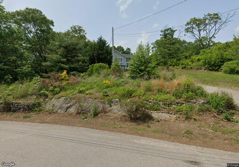
2 Fieldstone Way Westerly, RI 02891
Estimated Value: $376,000 - $466,000
3
Beds
2
Baths
1,132
Sq Ft
$372/Sq Ft
Est. Value
About This Home
This home is located at 2 Fieldstone Way, Westerly, RI 02891 and is currently estimated at $421,415, approximately $372 per square foot. 2 Fieldstone Way is a home with nearby schools including Westerly High School and St. Michael School.
Ownership History
Date
Name
Owned For
Owner Type
Purchase Details
Closed on
Jun 30, 2011
Sold by
Sp Rhode Island Dev As
Bought by
Colucci Michael P
Current Estimated Value
Home Financials for this Owner
Home Financials are based on the most recent Mortgage that was taken out on this home.
Original Mortgage
$173,856
Outstanding Balance
$119,796
Interest Rate
4.62%
Estimated Equity
$301,619
Create a Home Valuation Report for This Property
The Home Valuation Report is an in-depth analysis detailing your home's value as well as a comparison with similar homes in the area
Home Values in the Area
Average Home Value in this Area
Purchase History
| Date | Buyer | Sale Price | Title Company |
|---|---|---|---|
| Colucci Michael P | $199,000 | -- |
Source: Public Records
Mortgage History
| Date | Status | Borrower | Loan Amount |
|---|---|---|---|
| Open | Colucci Michael P | $173,856 |
Source: Public Records
Tax History Compared to Growth
Tax History
| Year | Tax Paid | Tax Assessment Tax Assessment Total Assessment is a certain percentage of the fair market value that is determined by local assessors to be the total taxable value of land and additions on the property. | Land | Improvement |
|---|---|---|---|---|
| 2025 | $1,426 | $200,500 | $187,600 | $12,900 |
| 2024 | $1,967 | $200,500 | $134,800 | $65,700 |
| 2023 | $1,929 | $200,500 | $134,800 | $65,700 |
| 2022 | $1,917 | $200,500 | $134,800 | $65,700 |
| 2021 | $2,428 | $210,800 | $71,600 | $139,200 |
| 2020 | $2,384 | $210,800 | $71,600 | $139,200 |
| 2019 | $2,361 | $210,800 | $71,600 | $139,200 |
| 2018 | $2,255 | $189,800 | $71,600 | $118,200 |
| 2017 | $2,200 | $189,800 | $71,600 | $118,200 |
| 2016 | $2,217 | $189,800 | $71,600 | $118,200 |
| 2015 | $2,085 | $192,700 | $73,000 | $119,700 |
| 2014 | $2,050 | $192,700 | $73,000 | $119,700 |
Source: Public Records
Map
Nearby Homes
- 23 Pond St
- 37 Pound Rd
- 35 Pound Rd
- 53 Bradford Rd
- 118 Dunns Corner Rd
- 0 Iroquois Ave
- 19 Apache Dr Unit F
- 17 Apache Dr Unit G
- 11 Apache Dr Unit D
- 5 Boy Scout Dr
- 101 Ashaway Rd
- 103 Ashaway Rd
- 94 Ashaway Rd
- 16 Boiling Spring Ave
- 82 Potter Hill Rd
- 0 Woody Hill Rd Unit 1334811
- 0 Woody Hill Rd Unit 73432704
- 23 Hillview Dr
- 52 Spruce St
- 145 High St Unit D
- 274 Westerly Bradford Rd
- 14 Fieldstone Way
- 4 Fieldstone Way
- 239 Westerly Bradford Rd
- 1 Fieldstone Way
- 6 Fieldstone Way
- 230 Westerly Bradford Rd
- 235 Westerly Bradford Rd
- 125 Westerly Bradford Rd
- 5 Fieldstone Way
- 204 Westerly Bradford Rd
- 229 Westerly Bradford Rd
- 1 Auke Way
- 8 Fieldstone Way
- 194 Westerly Bradford Rd
- 9 Fieldstone Way
- 10 Fieldstone Way
- 3 Auke Way
- 0 Bradford Rd Unit 649313
- 0 Bradford Rd Unit 200379