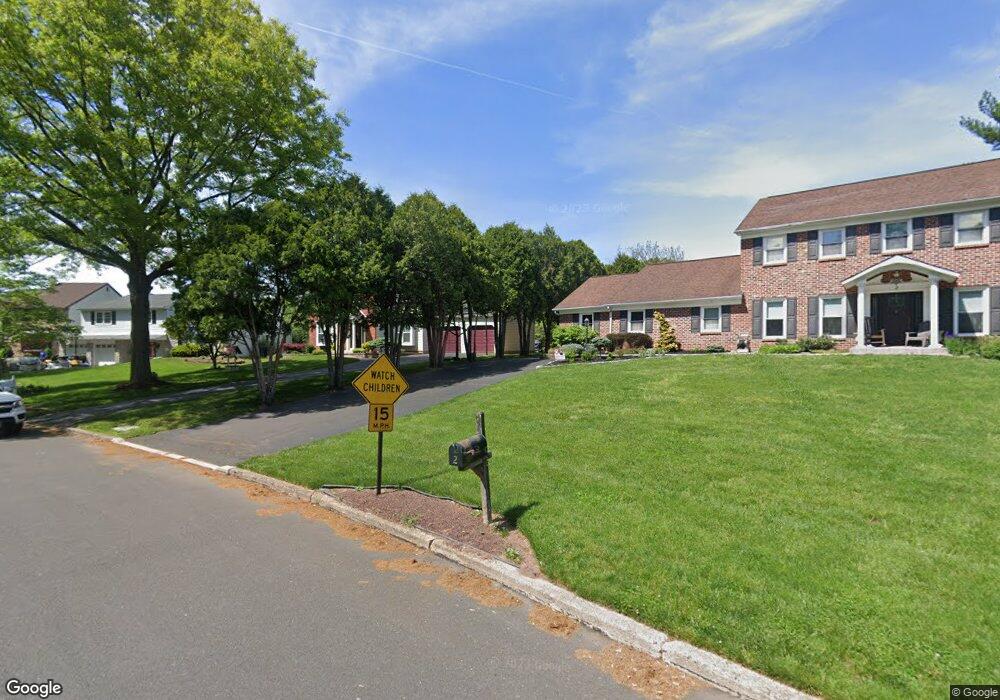
2 Forrest Dr Southampton, PA 18966
Estimated Value: $788,250 - $941,000
3
Beds
3
Baths
3,255
Sq Ft
$270/Sq Ft
Est. Value
About This Home
This home is located at 2 Forrest Dr, Southampton, PA 18966 and is currently estimated at $879,063, approximately $270 per square foot. 2 Forrest Dr is a home located in Bucks County with nearby schools including Hillcrest El School, Holland Middle School, and Council Rock High School - South.
Ownership History
Date
Name
Owned For
Owner Type
Purchase Details
Closed on
Jul 15, 1998
Sold by
Oconnor Roger F and Oconnor Marie
Bought by
Chirico Frank J and Chirico Terry J
Current Estimated Value
Home Financials for this Owner
Home Financials are based on the most recent Mortgage that was taken out on this home.
Original Mortgage
$125,000
Outstanding Balance
$25,558
Interest Rate
6.99%
Estimated Equity
$853,505
Purchase Details
Closed on
Nov 18, 1981
Bought by
Oconnor Roger F and Oconnor Marie
Create a Home Valuation Report for This Property
The Home Valuation Report is an in-depth analysis detailing your home's value as well as a comparison with similar homes in the area
Home Values in the Area
Average Home Value in this Area
Purchase History
| Date | Buyer | Sale Price | Title Company |
|---|---|---|---|
| Chirico Frank J | $232,500 | -- | |
| Oconnor Roger F | $131,700 | -- |
Source: Public Records
Mortgage History
| Date | Status | Borrower | Loan Amount |
|---|---|---|---|
| Open | Chirico Frank J | $125,000 |
Source: Public Records
Tax History Compared to Growth
Tax History
| Year | Tax Paid | Tax Assessment Tax Assessment Total Assessment is a certain percentage of the fair market value that is determined by local assessors to be the total taxable value of land and additions on the property. | Land | Improvement |
|---|---|---|---|---|
| 2025 | $10,786 | $56,000 | $10,000 | $46,000 |
| 2024 | $10,786 | $56,000 | $10,000 | $46,000 |
| 2023 | $10,166 | $56,000 | $10,000 | $46,000 |
| 2022 | $10,073 | $56,000 | $10,000 | $46,000 |
| 2021 | $9,754 | $56,000 | $10,000 | $46,000 |
| 2020 | $9,535 | $56,000 | $10,000 | $46,000 |
| 2019 | $9,126 | $56,000 | $10,000 | $46,000 |
| 2018 | $8,964 | $56,000 | $10,000 | $46,000 |
| 2017 | $8,618 | $56,000 | $10,000 | $46,000 |
| 2016 | $8,618 | $56,000 | $10,000 | $46,000 |
| 2015 | -- | $56,000 | $10,000 | $46,000 |
| 2014 | -- | $56,000 | $10,000 | $46,000 |
Source: Public Records
Map
Nearby Homes
- 6 Rolling Hills Dr
- 258 Woodlake Dr
- 41 Grant Dr
- 178 Buckshire Dr
- 27 Rocking Horse Way
- 270 Rocksville Rd
- 29 Langhorne Ave
- 7 Bennett Place
- 21019 Bennett Place Unit 7
- 147 Watergate Dr
- 52 Dalton Way
- 527 Ashton Cir
- 537 Ashton Cir
- 6 Springwood Place
- 15 Dover Place
- 518 Pebble Ridge Ct
- 2604 Beacon Hill Dr Unit 2
- 6 Windy Knoll Dr
- 19 Seton Hill Ct
- 105 Hopkins Ct Unit 744A