2 George St Unit 486487 Nashua, NH 03060
Mine Falls Park NeighborhoodEstimated Value: $433,000 - $451,000
4
Beds
1
Bath
1,218
Sq Ft
$363/Sq Ft
Est. Value
About This Home
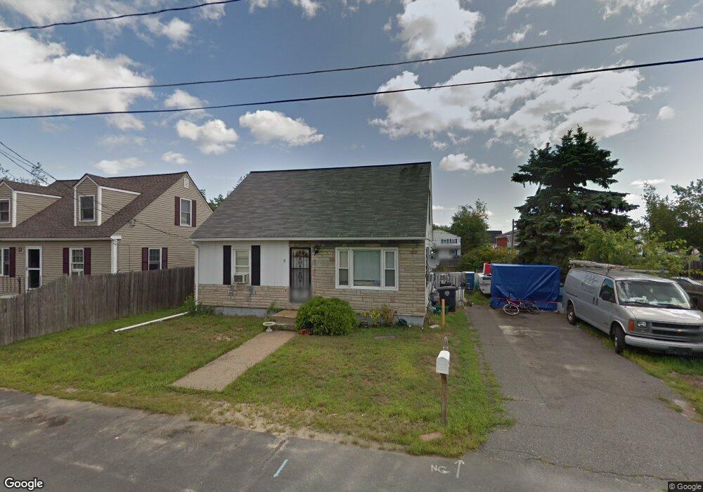
This home is located at 2 George St Unit 486487, Nashua, NH 03060 and is currently estimated at $442,358, approximately $363 per square foot. 2 George St Unit 486487 is a home located in Hillsborough County with nearby schools including Ledge Street Elementary School, Fairgrounds Middle School, and Nashua High School South.
Ownership History
Date
Name
Owned For
Owner Type
Purchase Details
Closed on
Jan 9, 2003
Sold by
Perez Catalino
Bought by
Bradley Whitney T
Current Estimated Value
Purchase Details
Closed on
May 29, 2001
Sold by
Marian A Parker Rt
Bought by
Perez Catalino
Home Financials for this Owner
Home Financials are based on the most recent Mortgage that was taken out on this home.
Original Mortgage
$138,902
Interest Rate
7.05%
Mortgage Type
Purchase Money Mortgage
Create a Home Valuation Report for This Property
The Home Valuation Report is an in-depth analysis detailing your home's value as well as a comparison with similar homes in the area
Home Values in the Area
Average Home Value in this Area
Purchase History
| Date | Buyer | Sale Price | Title Company |
|---|---|---|---|
| Bradley Whitney T | $187,000 | -- | |
| Perez Catalino | $140,000 | -- |
Source: Public Records
Mortgage History
| Date | Status | Borrower | Loan Amount |
|---|---|---|---|
| Previous Owner | Perez Catalino | $138,902 |
Source: Public Records
Tax History Compared to Growth
Tax History
| Year | Tax Paid | Tax Assessment Tax Assessment Total Assessment is a certain percentage of the fair market value that is determined by local assessors to be the total taxable value of land and additions on the property. | Land | Improvement |
|---|---|---|---|---|
| 2024 | $6,273 | $394,500 | $134,700 | $259,800 |
| 2023 | $5,894 | $323,300 | $107,800 | $215,500 |
| 2022 | $5,842 | $323,300 | $107,800 | $215,500 |
| 2021 | $5,004 | $215,500 | $68,300 | $147,200 |
| 2020 | $4,872 | $215,500 | $68,300 | $147,200 |
| 2019 | $4,722 | $217,000 | $68,300 | $148,700 |
| 2018 | $4,603 | $217,000 | $68,300 | $148,700 |
| 2017 | $3,887 | $150,700 | $56,900 | $93,800 |
| 2016 | $3,778 | $150,700 | $56,900 | $93,800 |
| 2015 | $3,697 | $150,700 | $56,900 | $93,800 |
| 2014 | $3,624 | $150,700 | $56,900 | $93,800 |
Source: Public Records
Map
Nearby Homes
- 41 New Dunstable Rd Unit 371
- 22 New Dunstable Rd Unit 132133
- 22 Kern Dr
- 11 Bordeaux St
- 169A W Hollis St Unit 193
- 32-34 Grand Ave
- 6 Lake Ave
- 247 Main Dunstable Rd
- 4 Badger St
- 97 Linwood St
- 29 Wilder St
- 22 Wilder St
- 30 Ledge St
- 8 Althea Ln Unit U26
- 7 Bitirnas St Unit U7
- 121 Palm St
- 38 Central St
- 30 Gendron St
- 63 Dexter St
- 8 Buck St Unit 10
- 4 George St Unit 483484
- 3 Daniels St Unit 499500
- 5 Daniels St Unit 502503
- 9 Simon St Unit 202
- 9 Simon St Unit 1st floor middle
- 9 Simon St Unit 203
- 9 Simon St Unit 204
- 9 Simon St
- 330 W Hollis St Unit 391
- 348 W Hollis St Unit 397398
- 2 Daniels St Unit 508509
- 326 W Hollis St Unit 346349
- 2 Liberty St Unit 386388
- 31 Will St
- 1A Joffre St Unit 343345
- 3 Liberty St Unit 354
- 357 W Hollis St
- 6 Gaffney St Unit 403407
- 4 Liberty St Unit 384385
- 6 Simon St Unit 455456