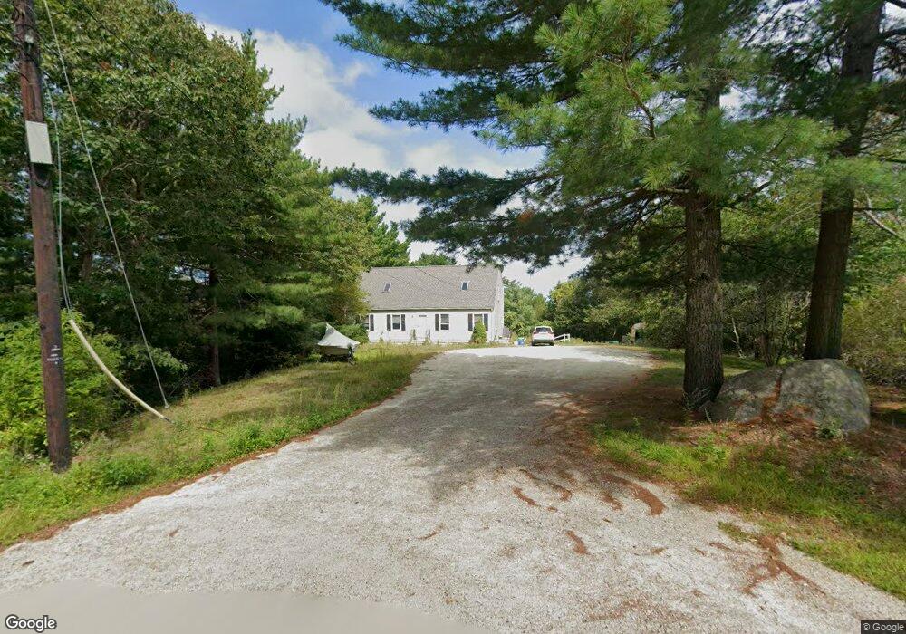
2 Heath Heights Gloucester, MA 01930
West Gloucester NeighborhoodEstimated Value: $774,000 - $1,173,000
3
Beds
3
Baths
1,650
Sq Ft
$533/Sq Ft
Est. Value
About This Home
This home is located at 2 Heath Heights, Gloucester, MA 01930 and is currently estimated at $880,064, approximately $533 per square foot. 2 Heath Heights is a home located in Essex County with nearby schools including West Parish, Ralph B O'maley Middle School, and Gloucester High School.
Ownership History
Date
Name
Owned For
Owner Type
Purchase Details
Closed on
May 15, 2013
Sold by
Milgate 3Rd Robert W
Bought by
Milgate 3Rd Robert W and Merkin Zina R
Current Estimated Value
Purchase Details
Closed on
Nov 26, 1997
Sold by
Saunders Michael H
Bought by
Milgate Robert W and Cope Brandi Kathleen
Home Financials for this Owner
Home Financials are based on the most recent Mortgage that was taken out on this home.
Original Mortgage
$168,750
Interest Rate
7.26%
Mortgage Type
Purchase Money Mortgage
Create a Home Valuation Report for This Property
The Home Valuation Report is an in-depth analysis detailing your home's value as well as a comparison with similar homes in the area
Home Values in the Area
Average Home Value in this Area
Purchase History
| Date | Buyer | Sale Price | Title Company |
|---|---|---|---|
| Milgate 3Rd Robert W | -- | -- | |
| Milgate Robert W | $225,000 | -- |
Source: Public Records
Mortgage History
| Date | Status | Borrower | Loan Amount |
|---|---|---|---|
| Previous Owner | Milgate Robert W | $50,000 | |
| Previous Owner | Milgate Robert W | $204,000 | |
| Previous Owner | Milgate Robert W | $168,750 | |
| Closed | Milgate Robert W | $33,750 |
Source: Public Records
Tax History
| Year | Tax Paid | Tax Assessment Tax Assessment Total Assessment is a certain percentage of the fair market value that is determined by local assessors to be the total taxable value of land and additions on the property. | Land | Improvement |
|---|---|---|---|---|
| 2025 | $6,842 | $703,900 | $241,000 | $462,900 |
| 2024 | $6,874 | $706,500 | $229,500 | $477,000 |
| 2023 | $6,663 | $629,200 | $204,800 | $424,400 |
| 2022 | $6,042 | $515,100 | $178,200 | $336,900 |
| 2021 | $6,147 | $494,100 | $162,200 | $331,900 |
| 2020 | $5,878 | $476,700 | $162,200 | $314,500 |
| 2019 | $5,816 | $458,300 | $162,200 | $296,100 |
| 2018 | $5,690 | $440,100 | $162,200 | $277,900 |
| 2017 | $5,465 | $414,300 | $154,400 | $259,900 |
| 2016 | $5,504 | $404,400 | $161,200 | $243,200 |
| 2015 | $5,266 | $385,800 | $161,200 | $224,600 |
Source: Public Records
Map
Nearby Homes
- 5 Samoset Rd Unit B
- 5 Lepage Ln
- 24 Cobblestone Ln Unit 603
- 145 Essex Ave Unit 402
- 368 Essex Ave
- 5 Marshfield St
- 3 Rockland St
- 15 Harvard St
- 13 Leslie o Johnson Rd
- 6 Monroe Ct
- 20 Beacon St
- 20 Beacon St Unit 2
- 20 Beacon St Unit 1
- 120 Washington St
- 13 Honeysuckle Rd
- 98 Maplewood Ave
- 8 Mystic Ave
- 13 Mystic Ave
- 9 Cleveland Place
- 33 Middle St
- 17 Winthrop Ave
- 19 Winthrop Ave Unit 19
- 15 Winthrop Ave
- 6 Heath Heights
- 16 Winthrop Ave
- 16 Winthrop Ave Unit A
- 3 Heath Heights
- 5 Samoset Rd
- 1 Heath Heights
- 2 King Philip Rd
- 4 Uncas Rd
- 7 King Philip Rd
- 7 King Philip Rd
- 01234 Winthrop Ave Unit 1
- 35 Winthrop Ave
- 37 Winthrop Ave
- 39 Winthrop Ave
- 10 Heath Heights
- 5 Heath Heights
- 53 Winthrop Ave
Your Personal Tour Guide
Ask me questions while you tour the home.