2 Hickory Ln Palmer, MA 01069
Estimated Value: $741,000 - $815,318
5
Beds
4
Baths
3,812
Sq Ft
$207/Sq Ft
Est. Value
About This Home
This home is located at 2 Hickory Ln, Palmer, MA 01069 and is currently estimated at $790,080, approximately $207 per square foot. 2 Hickory Ln is a home located in Hampden County with nearby schools including Old Mill Pond Elementary School, Palmer High School, and Converse Middle School.
Ownership History
Date
Name
Owned For
Owner Type
Purchase Details
Closed on
Oct 9, 2009
Sold by
Harris Michael
Bought by
Mendrala Daniel E and Mendrala May-Ring
Current Estimated Value
Home Financials for this Owner
Home Financials are based on the most recent Mortgage that was taken out on this home.
Original Mortgage
$323,850
Interest Rate
5.14%
Mortgage Type
Purchase Money Mortgage
Purchase Details
Closed on
Dec 15, 2008
Sold by
Harris Michael and Harris Linda
Bought by
Harris Michael
Purchase Details
Closed on
Jan 23, 2003
Sold by
Matera Todd R
Bought by
Harris Lynda and Harris Michael
Home Financials for this Owner
Home Financials are based on the most recent Mortgage that was taken out on this home.
Original Mortgage
$270,000
Interest Rate
6.11%
Mortgage Type
Purchase Money Mortgage
Purchase Details
Closed on
Aug 24, 1993
Sold by
Onley Mtn Rlty Corp
Bought by
Matera Todd R
Create a Home Valuation Report for This Property
The Home Valuation Report is an in-depth analysis detailing your home's value as well as a comparison with similar homes in the area
Home Values in the Area
Average Home Value in this Area
Purchase History
| Date | Buyer | Sale Price | Title Company |
|---|---|---|---|
| Mendrala Daniel E | $385,000 | -- | |
| Harris Michael | -- | -- | |
| Harris Lynda | $54,000 | -- | |
| Matera Todd R | $45,000 | -- |
Source: Public Records
Mortgage History
| Date | Status | Borrower | Loan Amount |
|---|---|---|---|
| Open | Matera Todd R | $320,000 | |
| Closed | Mendrala Daniel E | $323,850 | |
| Previous Owner | Harris Lynda | $270,000 | |
| Previous Owner | Harris Lynda | $50,000 |
Source: Public Records
Tax History Compared to Growth
Tax History
| Year | Tax Paid | Tax Assessment Tax Assessment Total Assessment is a certain percentage of the fair market value that is determined by local assessors to be the total taxable value of land and additions on the property. | Land | Improvement |
|---|---|---|---|---|
| 2025 | $13,279 | $726,400 | $80,100 | $646,300 |
| 2024 | $11,975 | $641,400 | $74,000 | $567,400 |
| 2023 | $11,594 | $596,400 | $74,000 | $522,400 |
| 2022 | $11,657 | $544,700 | $65,300 | $479,400 |
| 2021 | $10,541 | $465,800 | $71,400 | $394,400 |
| 2020 | $10,130 | $444,300 | $71,400 | $372,900 |
| 2019 | $3,317 | $444,300 | $71,400 | $372,900 |
| 2018 | $3,221 | $436,300 | $69,700 | $366,600 |
| 2017 | $2,882 | $436,300 | $69,700 | $366,600 |
| 2016 | $9,365 | $440,300 | $68,000 | $372,300 |
| 2015 | $9,083 | $440,300 | $68,000 | $372,300 |
Source: Public Records
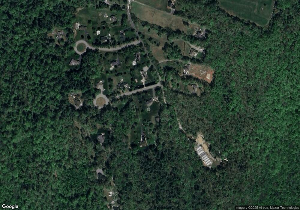
Map
Nearby Homes
- 10, 11-12 Ware St
- 748 River St Unit 1
- Lot 2 State St
- 275 State St
- 3057 Foster St
- 1B Quaboag Valley Co Op St
- 302 Boston Rd
- Lot 87-12 State St
- 0 Old Warren Rd
- 378 Rondeau St
- 60 Beech St
- 4329 High St
- 4560 High St
- 3022 Hillside Dr
- 79 Griffin St
- 13 Juniper Hill Rd
- 4014 School St
- Lot 5 Babcock Tavern Rd
- Lot 4 Babcock Tavern Rd
- 3012 Thorndike St